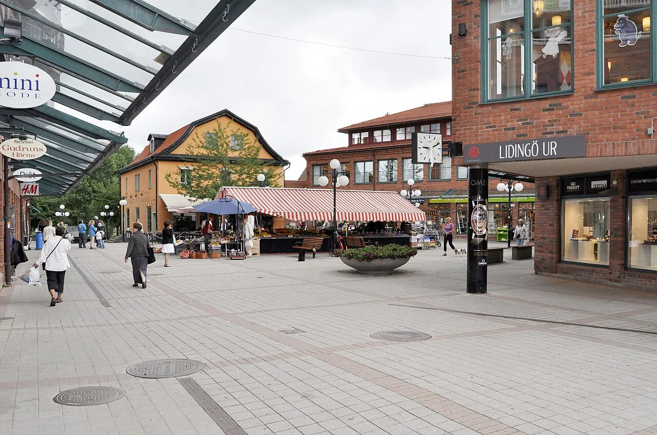
- Population
- 42,466
- 42.5K
- Elevation
- 30 m
- above sea level
- Local time
- UTC+01:00
- Europe/Stockholm · UTC+01:00
- Airports
- BMA Stockholm-Bromma Airport11 km
- ARN Stockholm-Arlanda Airport33 km
About Lidingö
Lidingö is a city. Location: Lidingö Municipality, Stockholm County. Population: 42,466. Elevation: 30 m.
Lidingö (Swedish pronunciation: [ˈlîːdɪŋˌøː]), also known in its definite form Lidingön and as Lidingölandet, is an island in the inner Stockholm archipelago, northeast of Stockholm, Sweden. In 2023, the population of the Lidingö urban area on the island was 48,162. It is the seat of government of the Lidingö Municipality, Stockholm County. Lidingö's qualities have attracted affluent residents such as Björn Ulvaeus, Agnetha Fältskog, Anni-Frid Lyngstad and Benny Andersson of ABBA.
Source: Wikipedia · CC BY-SA 4.0
At a glance
- Area
- 17.7 km²
Source: Wikidata
Travel notes for Lidingö
From Wikivoyage
Lidingö [ˈliːdɪŋˈø:] is a suburban island east of Stockholm in Sweden, at the innermost part of the Stockholm archipelago. With 50,000 inhabitants and a long coastline, it is known for the Millesgården sculpture museum, the annual cross-country race Lidingöloppet, and a cluster of conference hotels.
Understand+
Lidingö, together with the Fjäderholmarna islets south of Lidingö, and a few residential islets, forms a municipality with about 50,000 inhabitants, with a land area of 30 km².
The island has plenty of archaeological sites from the Iron Age and the Viking Age, including a couple of runestones.
Lidingö became a suburb for the well-to-do in the 1910s, with detached houses along the Lidingöbanan railway, and the AGA industries. Lidingö got city privileges, and the municipality still styles itself Lidingö stad. Lidingö contains high-rise buildings as well as single-family houses, several diplomatic missions, conference hotels, a few farms, and a nature reserve.
Get in+
Lidingö is connected to Stockholm by two bridges at Ropsten, the end station of the Stockholm Metro in the Östermalm district.
The light rail line Lidingöbanan departs from T-Ropsten in Stockholm, serves southern Lidingö, and ends at Gåshaga brygga, a dock for the Stockholm archipelago ferries. Buses from Ropsten serve parts of Lidingö.
Lidingö is well within reach for bicycles from Stockholm.
SL boat line 80 is a public transport ferry from Nybrokajen in central Stockholm, passing Nacka, calling at Dalénum in Lidingö returning to Ropsten. Standard SL fares. Some boat lines extend to Tranholmen and Storholmen, two smaller suburban islands.
Source: Wikivoyage · CC BY-SA 4.0 · abridged
Population of Lidingö over time
| 1960 | 23,594 | |
|---|---|---|
| 1965 | 27,297 | |
| 1970 | 29,799 | |
| 2005 | 30,357 | |
| 2010 | 31,561 | |
| 2016 | 42,957 | |
| 2017 | 43,318 | |
| 2018 | 43,925 | |
| 2019 | 44,232 | |
| 2020 | 44,091 | |
| 2023 | 44,642 |
Censuses and official estimates; source: Wikidata.
Climate of Lidingö
Best months for sightseeingBest months for sightseeing: June–August.
This month · November
A cold month
Day 4° · Night 0° · Rain 55 mm
- Hottest month
- July (day 22°)
- Coldest month
- February (night -6°)
- Wettest month
- July (70 mm)
- Driest month
- February (26 mm)
Bars: average monthly low and high temperature. Below: precipitation. Monthly averages for 1970–2000 at about 18 km resolution, adjusted for elevation. Highlighted months are mild and relatively dry. Source: WorldClim 2.1 (CC BY 4.0).
Show values as a table
| Month | Jan | Feb | Mar | Apr | May | Jun | Jul | Aug | Sep | Oct | Nov | Dec |
|---|---|---|---|---|---|---|---|---|---|---|---|---|
| Average high (°C) | 0° | 0° | 3° | 9° | 16° | 20° | 22° | 21° | 15° | 10° | 4° | 1° |
| Average low (°C) | -5° | -6° | -3° | 0° | 5° | 10° | 13° | 12° | 8° | 4° | 0° | -4° |
| Precipitation (mm) | 38 | 26 | 32 | 35 | 29 | 52 | 70 | 60 | 54 | 50 | 55 | 46 |
How to get to Lidingö
The nearest airport is Stockholm-Bromma Airport (BMA), 11 km to the west as the crow flies. For international flights: Stockholm-Arlanda Airport (ARN) (33 km). The nearest large city is Stockholm, 6 km to the southwest.
Airports
- Stockholm-Bromma Airport (BMA) Stockholm 11 kmwest
- Stockholm-Arlanda Airport (ARN) Stockholm 33 kmnorth
- Stockholm Västerås Airport (VST) Stockholm / Västerås 89 kmwest
Nearby large cities
- Stockholm Population: 1.5M 6 kmsouthwest
- Sollentuna Population: 139.6K 12 kmnorthwest
- Västerås Population: 127.8K 94 kmwest
- Örebro Population: 156K 167 kmwest
- Jönköping Population: 112.8K 291 kmsouthwest
Straight-line distances; road distances are longer. Airport data: OurAirports.
Day trips from Lidingö
Within 100 km: 38 historic and cultural sites, 79 natural sites, 1,106 lakes, rivers and coasts.
0–25 km92 places
- Rindö Island 16 kmE
- Kalvholmen Island 21 kmSE
- Byttholmen Island 24 kmE
- Härsö Island 23 kmSE
25–60 km843 places
- Runmarö Island 37 kmE
- Husarö Island 43 kmE
- Granskär Island 50 kmW
- Galtholmen Island 31 kmE
60–100 km288 places
- Lillö Island 76 kmE
- Högholmen Natural site 65 kmNE
- Hamnholmen Island 68 kmNE
- Österskär Island 60 kmE
Straight-line distances.
Nearby attractions & nature
Everything nearby-
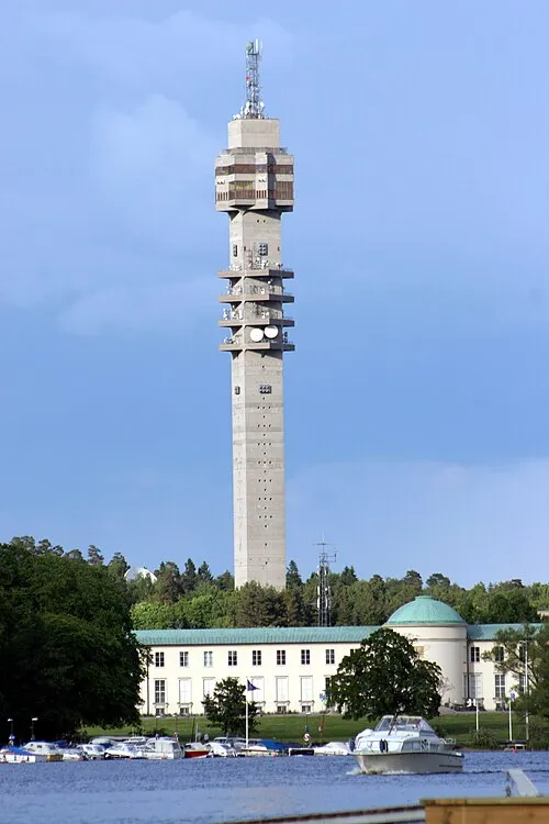 Kaknästornet Landmark, Stockholm3.5 km S
-
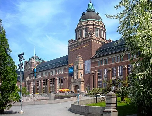 Swedish Museum of Natural History Museum, Stockholm Municipality4.5 km W
-
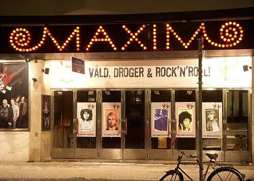 Maximteatern Attraction, Stockholm4.2 km SW
-
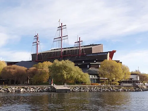 Vasa Museum Museum, Stockholm Municipality4.9 km SW
-
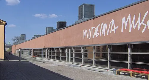 Moderna Museet Museum, Stockholm Municipality5.4 km SW
-
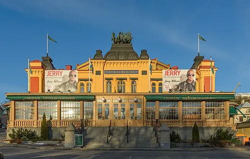 Cirkus Attraction, Stockholm5 km S
-
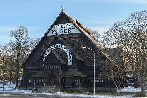 Biological museum Museum, Stockholm4.9 km SW
-
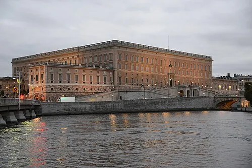 Stockholm Palace Historic site, Stockholm Municipality5.7 km SW
Sources & licences
Data last updated: · 2 independent sources