Kungshamra
Located in Solna Municipality, Stockholm County Coordinates: 59°22′55″ N 18°01′30″ E
- Elevation
- 32 m
- above sea level
- Local time
- UTC+01:00
- Europe/Stockholm · UTC+01:00
- Airports
- BMA Stockholm-Bromma Airport6 km
- ARN Stockholm-Arlanda Airport30 km
About Kungshamra
Kungshamra is a neighbourhood. Location: Solna Municipality, Stockholm County.
Kungshamra is a student residential area in Bergshamra, Solna Municipality, Sweden, in the northern outskirts of Stockholm. It has about 1370 student flats. The older houses (about 820 of them) are in raw concrete with bold colours on window frames and doors. Newer houses (550, built during 2003–2005) are painted in gray or white, and decorated with French balconies and yellow windows. The area was designed by Swedish architects ELLT and built 1965–1967.
Source: Wikipedia · CC BY-SA 4.0
Photos of Kungshamra
-
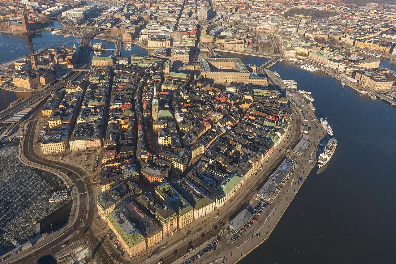
Stadsholmen Arild Vågen · CC BY-SA 3.0 -
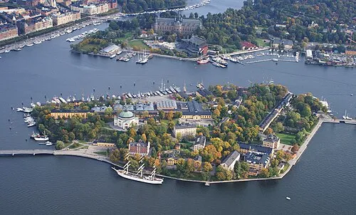
Skeppsholmen Jan Ainali · CC BY-SA 3.0 -
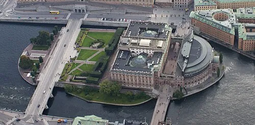
Helgeandsholmen Jan Ainali · CC BY-SA 3.0 -
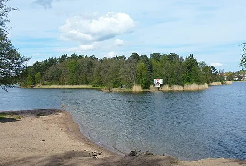
Kaninholmen Holger.Ellgaard · CC BY-SA 4.0 -
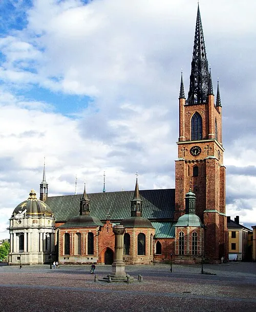
Riddarholm Church Nordelch · CC BY-SA 3.0


Climate of Kungshamra
Best months for sightseeingBest months for sightseeing: June–August.
This month · November
A cold month
Day 4° · Night 0° · Rain 55 mm
- Hottest month
- July (day 22°)
- Coldest month
- February (night -6°)
- Wettest month
- July (70 mm)
- Driest month
- February (26 mm)
Bars: average monthly low and high temperature. Below: precipitation. Monthly averages for 1970–2000 at about 18 km resolution, adjusted for elevation. Highlighted months are mild and relatively dry. Source: WorldClim 2.1 (CC BY 4.0).
Show values as a table
| Month | Jan | Feb | Mar | Apr | May | Jun | Jul | Aug | Sep | Oct | Nov | Dec |
|---|---|---|---|---|---|---|---|---|---|---|---|---|
| Average high (°C) | 0° | 0° | 3° | 9° | 16° | 20° | 22° | 21° | 15° | 10° | 4° | 1° |
| Average low (°C) | -5° | -6° | -3° | 0° | 5° | 10° | 13° | 12° | 8° | 4° | 0° | -4° |
| Precipitation (mm) | 38 | 26 | 32 | 35 | 29 | 52 | 70 | 60 | 54 | 50 | 55 | 46 |
How to get to Kungshamra
The nearest airport is Stockholm-Bromma Airport (BMA), 6 km to the southwest as the crow flies. For international flights: Stockholm-Arlanda Airport (ARN) (30 km). The nearest large city is Stockholm, 6 km to the southeast.
Airports
- Stockholm-Bromma Airport (BMA) Stockholm 6 kmsouthwest
- Stockholm-Arlanda Airport (ARN) Stockholm 30 kmnorth
- Stockholm Västerås Airport (VST) Stockholm / Västerås 82 kmwest
Nearby large cities
- Stockholm Population: 1.5M 6 kmsoutheast
- Sollentuna Population: 139.6K 7 kmnorthwest
- Västerås Population: 127.8K 87 kmwest
- Örebro Population: 156K 161 kmwest
- Jönköping Population: 112.8K 287 kmsouthwest
Straight-line distances; road distances are longer. Airport data: OurAirports.
Day trips from Kungshamra
Within 100 km: 38 historic and cultural sites, 79 natural sites, 1,110 lakes, rivers and coasts.
0–25 km69 places
- Rindö Island 21 kmE
- Lillön Island 23 kmSW
- Stadsholmen Island 7 kmSE
- Skeppsholmen Island 7 kmSE
25–60 km851 places
- Runmarö Island 44 kmE
- Husarö Island 49 kmE
- Granskär Island 44 kmW
- Galtholmen Island 37 kmE
60–100 km307 places
- Lillö Island 82 kmE
- Högholmen Natural site 68 kmNE
- Hamnholmen Island 72 kmNE
- Bredholmen Island 63 kmNE
Straight-line distances.
Nearby attractions & nature
Everything nearby-
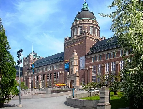 Swedish Museum of Natural History Museum, Stockholm Municipality2.2 km SE
-
Kaninholmen Island, Stockholm County1.7 km NW
-
Bockholmen Island, Stockholm County1.7 km E
-
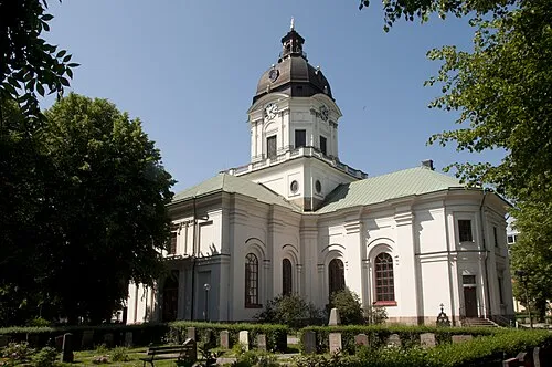 Adolf Fredrik Church Attraction, Stockholm5.3 km S
-
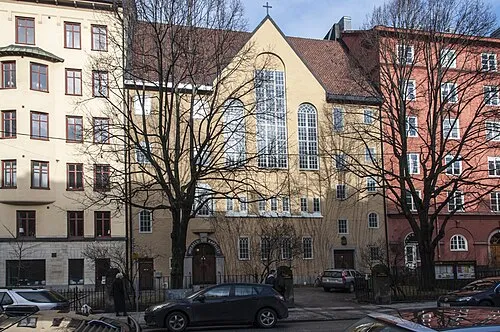 Mikaelskapellet Attraction, Stockholm4.4 km S
-
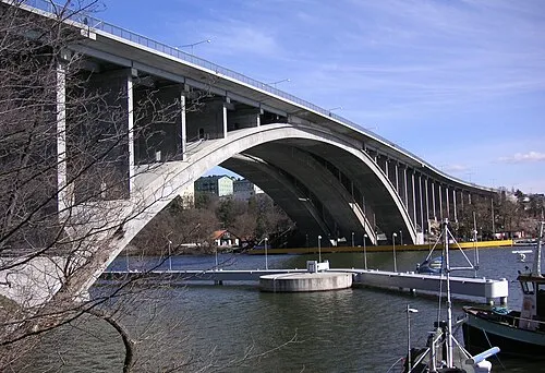 Tranebergsbron Landmark, Stockholm5.6 km S
Sources & licences
Data last updated: · 2 independent sources