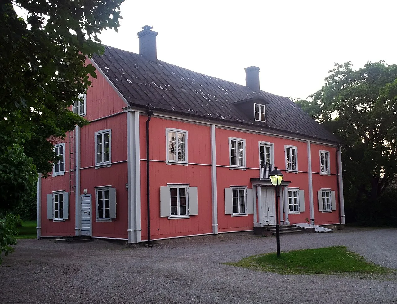
- Population
- 5,000
- 5K
- Elevation
- 21 m
- above sea level
- Local time
- UTC+01:00
- Europe/Stockholm · UTC+01:00
- Airports
- BMA Stockholm-Bromma Airport11 km
- ARN Stockholm-Arlanda Airport25 km
About Enebyberg
Enebyberg is a town. Location: Täby Municipality, Stockholm County. Population: 5,000. Elevation: 21 m.
Danderyd Municipality (Swedish: Danderyds kommun [ˈdânːdɛˌryːd] ) is a municipality north of Stockholm in Stockholm County in east central Sweden. It is one of the smallest municipalities of Sweden, but the most affluent. Its seat is located in Djursholm and it is located within Stockholm urban area. The "old" rural municipality Danderyd was split up during the early 20th century, when Djursholm and Stocksund broke away in 1901 and 1910 respectively.
Source: Wikipedia · CC BY-SA 4.0
Photos of Enebyberg
-

Bengt Oberger · CC BY-SA 3.0 -

Bengt Oberger · CC BY-SA 3.0 -

Unknown author Unknown author · CC0 -

Егор Журавлёв from Smarde, Latvia · CC BY-SA 2.0 -

Häradsekonomiska kartan · Public domain


Climate of Enebyberg
Best months for sightseeingBest months for sightseeing: June–August.
This month · November
A cold month
Day 4° · Night 0° · Rain 55 mm
- Hottest month
- July (day 22°)
- Coldest month
- February (night -6°)
- Wettest month
- July (70 mm)
- Driest month
- February (26 mm)
Bars: average monthly low and high temperature. Below: precipitation. Monthly averages for 1970–2000 at about 18 km resolution, adjusted for elevation. Highlighted months are mild and relatively dry. Source: WorldClim 2.1 (CC BY 4.0).
Show values as a table
| Month | Jan | Feb | Mar | Apr | May | Jun | Jul | Aug | Sep | Oct | Nov | Dec |
|---|---|---|---|---|---|---|---|---|---|---|---|---|
| Average high (°C) | 0° | 0° | 3° | 9° | 16° | 20° | 22° | 21° | 15° | 10° | 4° | 1° |
| Average low (°C) | -5° | -6° | -3° | 0° | 5° | 10° | 13° | 12° | 8° | 4° | 0° | -4° |
| Precipitation (mm) | 38 | 26 | 32 | 35 | 29 | 52 | 70 | 60 | 54 | 50 | 55 | 46 |
How to get to Enebyberg
The nearest airport is Stockholm-Bromma Airport (BMA), 11 km to the southwest as the crow flies. For international flights: Stockholm-Arlanda Airport (ARN) (25 km). The nearest large city is Sollentuna, 6 km to the west.
Airports
- Stockholm-Bromma Airport (BMA) Stockholm 11 kmsouthwest
- Stockholm-Arlanda Airport (ARN) Stockholm 25 kmnorth
- Stockholm Västerås Airport (VST) Stockholm / Västerås 82 kmwest
Nearby large cities
- Sollentuna Population: 139.6K 6 kmwest
- Stockholm Population: 1.5M 12 kmsouth
- Västerås Population: 127.8K 87 kmwest
- Örebro Population: 156K 163 kmwest
- Jönköping Population: 112.8K 292 kmsouthwest
Straight-line distances; road distances are longer. Airport data: OurAirports.
Day trips from Enebyberg
Within 100 km: 38 historic and cultural sites, 84 natural sites, 1,122 lakes, rivers and coasts.
0–25 km73 places
- Rindö Island 20 kmE
- Stadsholmen Island 12 kmS
- Skeppsholmen Island 12 kmS
- Resarö Island 16 kmE
25–60 km832 places
- Runmarö Island 44 kmE
- Husarö Island 46 kmE
- Granskär Island 45 kmW
- Galtholmen Island 36 kmE
60–100 km339 places
- Lillö Island 80 kmE
- Högholmen Natural site 63 kmNE
- Hamnholmen Island 68 kmNE
- Österskär Island 66 kmE
Straight-line distances.
Nearby attractions & nature
Everything nearby-
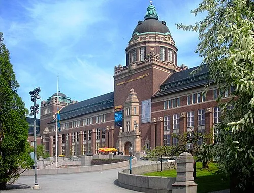 Swedish Museum of Natural History Museum, Stockholm Municipality7.1 km S
-
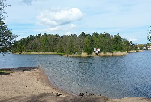 Kaninholmen Island, Stockholm County4.7 km SW
-
Ullnabacken Mountain, Täby Municipality6.7 km NE
-
Bockholmen Island, Stockholm County6.3 km S
-
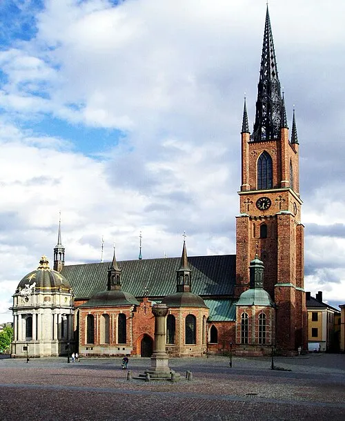 Riddarholm Church Attraction, Stockholm Municipality12 km S
-
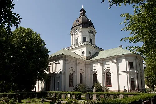 Adolf Fredrik Church Attraction, Stockholm11 km S
-
 Stockholm Palace Historic site, Stockholm Municipality12 km S
-
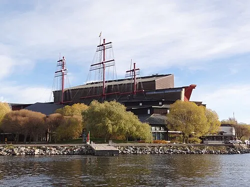 Vasa Museum Museum, Stockholm Municipality12 km S
Sources & licences
Data last updated: · 2 independent sources