Karlsudd
Located in Vaxholm Municipality, Stockholm County Coordinates: 59°23′08″ N 18°18′53″ E
- Population
- 139
- 139
- Elevation
- 20 m
- above sea level
- Local time
- UTC+01:00
- Europe/Stockholm · UTC+01:00
- Airports
- BMA Stockholm-Bromma Airport21 km
- ARN Stockholm-Arlanda Airport37 km
About Karlsudd
Karlsudd is a village. Location: Vaxholm Municipality, Stockholm County. Population: 139. Elevation: 20 m.
Karlsudd is a settlement in Vaxholm Municipality, Stockholm County, Sweden. It is located at the south-eastern tip of the Bogesundslandet peninsula, but is not within the Bogesundslandet nature reserve that occupies most of that peninsular. It is also the only significant settlement within the Vaxholm Municipality that is on the Swedish mainland, rather than on islands of the Stockholm archipelago. Karlsudd has a mixture of old and new buildings, and about 100 households live there.
Source: Wikipedia · CC BY-SA 4.0
At a glance
- Area
- 57 ha
Source: Wikidata
Photos of Karlsudd
-
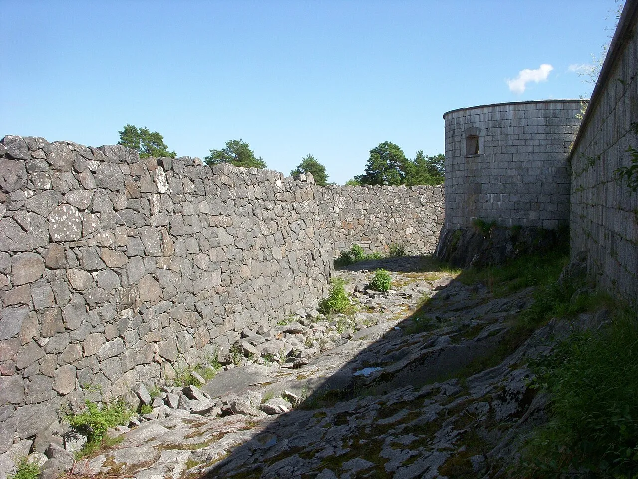
Rindö Holger.Ellgaard · CC BY-SA 3.0 -
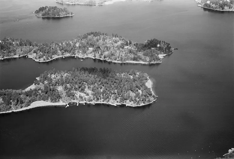
Edholma Erik Claesson · Public domain -
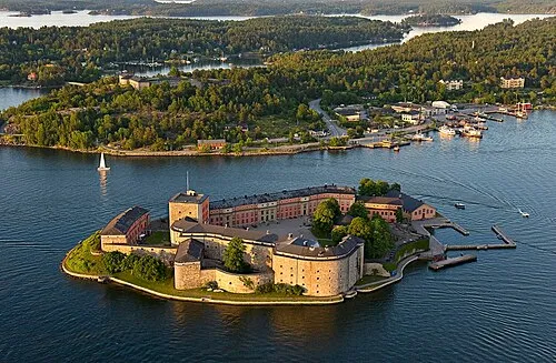
Vaxholm Fortress Can Burcin Sahin / LCProBild · CC BY-SA 3.0 -
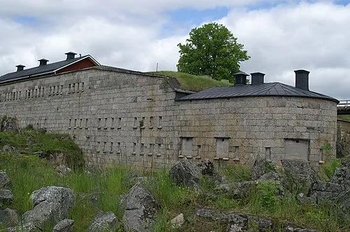
Rindö Redoubt User Alers on sv.wikipedia · CC BY-SA 3.0 -
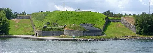
Oskar-Fredriksborg Fort Holger.Ellgaard · CC BY-SA 3.0


Population of Karlsudd over time
| 1990 | 102 | |
|---|---|---|
| 1995 | 64 | |
| 2005 | 124 | |
| 2010 | 123 | |
| 2015 | 130 | |
| 2020 | 135 | |
| 2023 | 139 |
Censuses and official estimates; source: Wikidata.
Climate of Karlsudd
Best months for sightseeingBest months for sightseeing: June–August.
This month · November
A cold month
Day 5° · Night 0° · Rain 58 mm
- Hottest month
- July (day 22°)
- Coldest month
- February (night -6°)
- Wettest month
- July (76 mm)
- Driest month
- February (26 mm)
Bars: average monthly low and high temperature. Below: precipitation. Monthly averages for 1970–2000 at about 18 km resolution, adjusted for elevation. Highlighted months are mild and relatively dry. Source: WorldClim 2.1 (CC BY 4.0).
Show values as a table
| Month | Jan | Feb | Mar | Apr | May | Jun | Jul | Aug | Sep | Oct | Nov | Dec |
|---|---|---|---|---|---|---|---|---|---|---|---|---|
| Average high (°C) | 0° | 0° | 3° | 8° | 15° | 20° | 22° | 20° | 15° | 10° | 5° | 2° |
| Average low (°C) | -5° | -6° | -3° | 0° | 5° | 10° | 12° | 12° | 8° | 4° | 0° | -3° |
| Precipitation (mm) | 39 | 26 | 33 | 35 | 30 | 51 | 76 | 58 | 59 | 52 | 58 | 47 |
How to get to Karlsudd
The nearest airport is Stockholm-Bromma Airport (BMA), 21 km to the west as the crow flies. For international flights: Stockholm-Arlanda Airport (ARN) (37 km). The nearest large city is Stockholm, 15 km to the southwest.
Airports
- Stockholm-Bromma Airport (BMA) Stockholm 21 kmwest
- Stockholm-Arlanda Airport (ARN) Stockholm 37 kmnorthwest
- Stockholm Västerås Airport (VST) Stockholm / Västerås 98 kmwest
Nearby large cities
- Stockholm Population: 1.5M 15 kmsouthwest
- Sollentuna Population: 139.6K 21 kmwest
- Västerås Population: 127.8K 103 kmwest
- Örebro Population: 156K 177 kmwest
- Jönköping Population: 112.8K 301 kmsouthwest
Straight-line distances; road distances are longer. Airport data: OurAirports.
Day trips from Karlsudd
Within 100 km: 38 historic and cultural sites, 80 natural sites, 1,108 lakes, rivers and coasts.
0–25 km208 places
- Rindö Island 5 kmE
- Galtholmen Island 21 kmE
- Ostkanten Island 25 kmE
- Kalvholmen Island 17 kmS
25–60 km760 places
- Runmarö Island 28 kmSE
- Husarö Island 33 kmNE
- Gubbholmen Island 46 kmS
- Oxholmen Island 55 kmS
60–100 km258 places
- Lillö Island 66 kmE
- Granskär Island 60 kmW
- Ekskär Island 62 kmSW
- Norrskär Island 70 kmS
Straight-line distances.
Nearby attractions & nature
Everything nearby-
Vaxholm Fortress Historic site, Vaxholm socken3.2 km NE
-
Rindö Redoubt Historic site, Vaxholm socken3.7 km NE
-
Edholma Island, Stockholm County3.6 km N
-
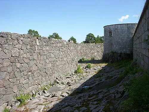 Rindö Island, Stockholm County5.1 km E
-
Oskar-Fredriksborg Fort Historic site, Vaxholm socken7 km E
-
Resarö Island, Stockholm County5 km N
Sources & licences
Data last updated: · 2 independent sources