Omsberg
Located in Hagfors Municipality, Värmland County Coordinates: 59°55′00″ N 13°31′59″ E
- Elevation
- 159 m
- above sea level
- Local time
- UTC+01:00
- Europe/Stockholm · UTC+01:00
- Airports
- TYF Torsby Airport40 km
- KSD Karlstad Airport54 km
About Omsberg
Omsberg is a mountain. Location: Hagfors Municipality, Värmland County. Elevation: 159 m. The best months to visit are June–August. The nearest airport is Torsby Airport (40 km).
Climate of Omsberg
Best months for sightseeingBest months for sightseeing: June–August.
This month · November
A cold month
Day 2° · Night -5° · Rain 73 mm
- Hottest month
- July (day 22°)
- Coldest month
- January (night -11°)
- Wettest month
- July (83 mm)
- Driest month
- February (33 mm)
Bars: average monthly low and high temperature. Below: precipitation. Monthly averages for 1970–2000 at about 18 km resolution, adjusted for elevation. Highlighted months are mild and relatively dry. Source: WorldClim 2.1 (CC BY 4.0).
Show values as a table
| Month | Jan | Feb | Mar | Apr | May | Jun | Jul | Aug | Sep | Oct | Nov | Dec |
|---|---|---|---|---|---|---|---|---|---|---|---|---|
| Average high (°C) | -3° | -2° | 4° | 9° | 16° | 21° | 22° | 20° | 15° | 9° | 2° | -2° |
| Average low (°C) | -11° | -11° | -7° | -2° | 3° | 8° | 9° | 8° | 5° | 1° | -5° | -9° |
| Precipitation (mm) | 46 | 33 | 39 | 45 | 48 | 69 | 83 | 79 | 75 | 68 | 73 | 54 |
How to get to Omsberg
The nearest airport is Torsby Airport (TYF), 40 km to the northwest as the crow flies. The nearest large city is Örebro, 119 km to the southeast.
Airports
- Torsby Airport (TYF) Torsby 40 kmnorthwest
- Karlstad Airport (KSD) Karlstad 54 kmsouth
- Örebro Airport (ORB) Örebro 115 kmsoutheast
Nearby large cities
- Örebro Population: 156K 119 kmsoutheast
- Oslo Population: 1.1M 156 kmwest
- Västerås Population: 127.8K 173 kmeast
- Drammen Population: 106K 188 kmwest
- Jönköping Population: 112.8K 241 kmsouth
Straight-line distances; road distances are longer. Airport data: OurAirports.
Day trips from Omsberg
Within 100 km: 20 natural sites, 42 lakes, rivers and coasts.
25–60 km15 places
- Håberget Mountain 55 kmN
- Elgön Island 45 kmE
- Ön Island 34 kmNE
- Malön Island 28 kmSW
60–100 km47 places
- Bärön Island 75 kmS
- Lövön Island 89 kmNE
- Lillön Island 77 kmE
- Lillön Island 82 kmSE
Straight-line distances.
Nearest towns and villages
-
Sörby Village, Hagfors Municipality6.2 km NW
-
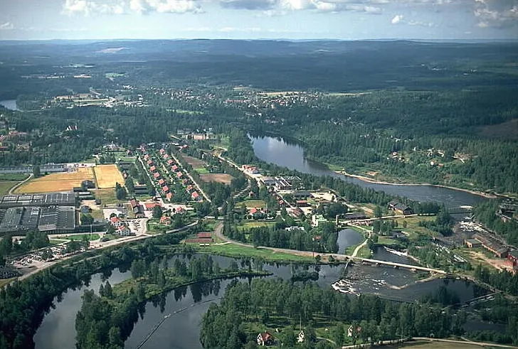 Munkfors City, Munkfors Municipality8.7 km S
-
Råda Village, Hagfors Municipality10 km N
-
Munkfors Municipality, Munkfors Municipality9 km S
-
Norra Råda socken Village, Norra Råda4.3 km N
-
Norra Råda Municipality, Hagfors Municipality10 km N
Sources & licences
Data last updated: · 2 independent sources