Själevad
Located in Örnsköldsviks Kommun, Västernorrland County Coordinates: 63°17′33″ N 18°36′30″ E
- Population
- 19,112
- 19.1K
- Elevation
- 1 m
- above sea level
- Local time
- UTC+01:00
- Europe/Stockholm · UTC+01:00
- Places inside
- 1
- listed under Själevad
- Airports
- OER Örnsköldsvik Airport23 km
- KRF Kramfors-Sollefteå Höga Kusten Airport50 km
About Själevad
Själevad is a municipality. Location: Örnsköldsviks Kommun, Västernorrland County. Population: 19,112. Elevation: 1 m. The best months to visit are June–August. The nearest airport is Örnsköldsvik Airport (23 km). Nearby sights include Köpmanholmen and Burön.
Climate of Själevad
Best months for sightseeingBest months for sightseeing: June–August.
This month · November
A cold month
Day 1° · Night -4° · Rain 77 mm
- Hottest month
- July (day 20°)
- Coldest month
- February (night -10°)
- Wettest month
- July (79 mm)
- Driest month
- May (34 mm)
Bars: average monthly low and high temperature. Below: precipitation. Monthly averages for 1970–2000 at about 18 km resolution, adjusted for elevation. Highlighted months are mild and relatively dry. Source: WorldClim 2.1 (CC BY 4.0).
Show values as a table
| Month | Jan | Feb | Mar | Apr | May | Jun | Jul | Aug | Sep | Oct | Nov | Dec |
|---|---|---|---|---|---|---|---|---|---|---|---|---|
| Average high (°C) | -3° | -3° | 1° | 6° | 13° | 18° | 20° | 19° | 13° | 7° | 1° | -2° |
| Average low (°C) | -10° | -10° | -6° | -2° | 3° | 8° | 11° | 10° | 6° | 1° | -4° | -8° |
| Precipitation (mm) | 51 | 38 | 42 | 38 | 34 | 50 | 79 | 69 | 68 | 69 | 77 | 51 |
How to get to Själevad
The nearest airport is Örnsköldsvik Airport (OER), 23 km to the northeast as the crow flies. For international flights: Umeå Airport (UME) (100 km). The nearest large city is Umeå, 102 km to the northeast.
Airports
- Örnsköldsvik Airport (OER) Örnsköldsvik 23 kmnortheast
- Kramfors-Sollefteå Höga Kusten Airport (KRF) Nyland 50 kmsouthwest
- Umeå Airport (UME) Umeå 100 kmnortheast
Nearby large cities
- Umeå Population: 130.2K 102 kmnortheast
Straight-line distances; road distances are longer. Airport data: OurAirports.
Day trips from Själevad
Within 100 km: 1 historic or cultural site, 33 natural sites, 103 lakes, rivers and coasts.
0–25 km22 places
- Lilla Bergön Island 24 kmE
- Bursjöholmen Island 14 kmE
- Normanön Island 15 kmSE
- Klösan Island 20 kmSE
25–60 km67 places
- Litanön Island 54 kmSW
- Hamngrundet Island 53 kmNE
- Gåsgrundet Island 49 kmE
- Åskär Island 28 kmE
60–100 km48 places
- Latberget Mountain 61 kmSW
- Rödmyrdalen Natural site 94 kmSW
- Bjännön Island 72 kmNE
- Nygrundet Island 83 kmNE
Straight-line distances.
Places in Själevad
1 placeCities & villages1
- Själevad socken · Village
Nearby attractions & nature
Everything nearby-
Köpmanholmen Island, Västernorrland County12 km S
-
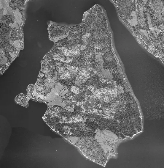 Burön Island, Västernorrland County15 km E
-
Lilla Buröholmen Island, Arnäs socken13 km E
-
Bursjöholmen Island, Västernorrland County14 km E
-
Högsvedjeberget Mountain, Nätra socken22 km SW
-
Järvön Island, Västernorrland County16 km SE
-
Normanön Island, Västernorrland County15 km SE
-
Malmön Island, Västernorrland County18 km SE
Sources & licences
Data last updated: