Utby
Located in Örnsköldsviks Kommun, Västernorrland County Coordinates: 63°14′00″ N 18°38′00″ E
- Population
- 219
- 219
- Elevation
- 4 m
- above sea level
- Local time
- UTC+01:00
- Europe/Stockholm · UTC+01:00
- Airports
- OER Örnsköldsvik Airport26 km
- KRF Kramfors-Sollefteå Höga Kusten Airport48 km
About Utby
Utby is a village. Location: Örnsköldsviks Kommun, Västernorrland County. Population: 219. Elevation: 4 m. The best months to visit are June–August. The nearest airport is Örnsköldsvik Airport (26 km). Nearby sights include Köpmanholmen and Järvön.
Climate of Utby
Best months for sightseeingBest months for sightseeing: June–August.
This month · November
A cold month
Day 1° · Night -5° · Rain 77 mm
- Hottest month
- July (day 20°)
- Coldest month
- February (night -10°)
- Wettest month
- July (79 mm)
- Driest month
- May (34 mm)
Bars: average monthly low and high temperature. Below: precipitation. Monthly averages for 1970–2000 at about 18 km resolution, adjusted for elevation. Highlighted months are mild and relatively dry. Source: WorldClim 2.1 (CC BY 4.0).
Show values as a table
| Month | Jan | Feb | Mar | Apr | May | Jun | Jul | Aug | Sep | Oct | Nov | Dec |
|---|---|---|---|---|---|---|---|---|---|---|---|---|
| Average high (°C) | -3° | -3° | 1° | 6° | 13° | 18° | 20° | 18° | 13° | 7° | 1° | -2° |
| Average low (°C) | -10° | -10° | -7° | -2° | 3° | 8° | 11° | 10° | 5° | 1° | -5° | -8° |
| Precipitation (mm) | 51 | 38 | 42 | 38 | 34 | 50 | 79 | 69 | 68 | 69 | 77 | 51 |
How to get to Utby
The nearest airport is Örnsköldsvik Airport (OER), 26 km to the northeast as the crow flies. The nearest large city is Umeå, 105 km to the northeast.
Airports
- Örnsköldsvik Airport (OER) Örnsköldsvik 26 kmnortheast
- Kramfors-Sollefteå Höga Kusten Airport (KRF) Nyland 48 kmsouthwest
- Sundsvall-Härnösand Airport (SDL) Sundsvall/ Härnösand 99 kmsouthwest
Nearby large cities
- Umeå Population: 130.2K 105 kmnortheast
Straight-line distances; road distances are longer. Airport data: OurAirports.
Day trips from Utby
Within 100 km: 1 historic or cultural site, 33 natural sites, 104 lakes, rivers and coasts.
0–25 km33 places
- Käringskäret Island 19 kmS
- Ronön Island 19 kmS
- Norra Ulvön Island 21 kmS
- Lilla Bergön Island 22 kmE
25–60 km63 places
- Långskäret Island 49 kmS
- Grusholmen Island 54 kmSW
- Hamnholmen Island 58 kmSW
- Fäberget Mountain 29 kmSW
60–100 km42 places
- Mesjöberget Mountain 90 kmNW
- Hammarshöjden Mountain 72 kmSW
- Björnberget Mountain 69 kmSW
- Persskär Island 72 kmNE
Straight-line distances.
Nearby attractions & nature
Everything nearby-
Köpmanholmen Island, Västernorrland County5.6 km S
-
Järvön Island, Västernorrland County9.5 km SE
-
Normanön Island, Västernorrland County9.4 km SE
-
Visareberget Mountain, Själevad socken10 km N
-
Lilla Buröholmen Island, Arnäs socken11 km E
-
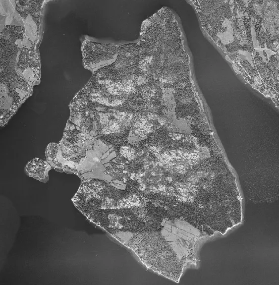 Burön Island, Västernorrland County13 km E
Other cities and towns in Örnsköldsviks Kommun


Sources & licences
Data last updated: