Surahammar
Located in Surahammar Municipality, Västmanland County Coordinates: 59°42′26″ N 16°13′19″ E
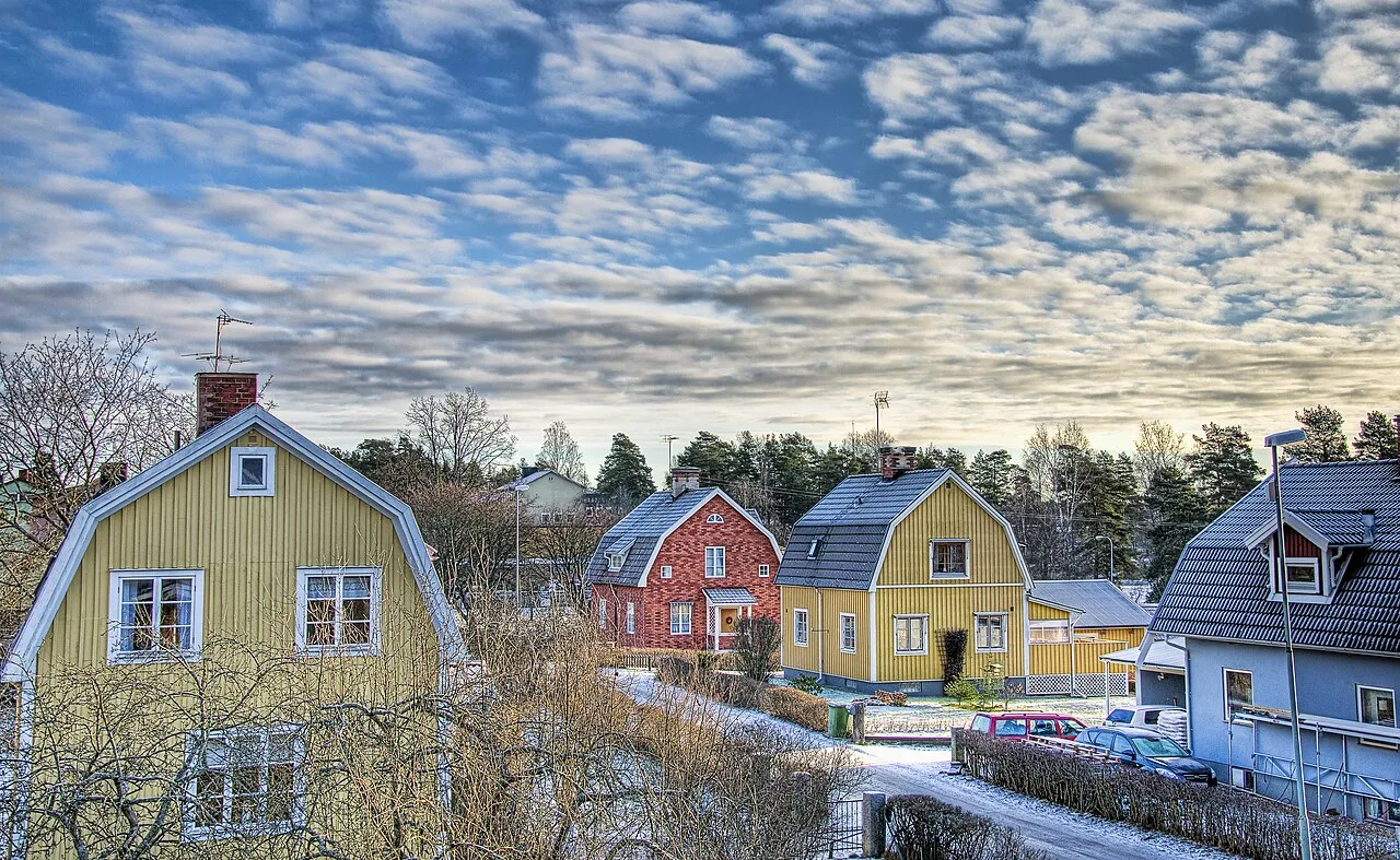
- Population
- 6,270
- 6.3K
- Elevation
- 72 m
- above sea level
- Local time
- UTC+01:00
- Europe/Stockholm · UTC+01:00
- Airports
- VST Stockholm Västerås Airport27 km
- ORB Örebro Airport86 km
About Surahammar
Surahammar is a city. Location: Surahammar Municipality, Västmanland County. Population: 6,270. Elevation: 72 m.
Surahammar (Swedish pronunciation: [sɵraˈhâmːar] or [ˈsʉ̂ːraˌhamːar] ) is a locality and the seat of Surahammar Municipality in Västmanland County, Sweden, with 6,179 inhabitants in 2010.
Source: Wikipedia · CC BY-SA 4.0
Photos of Surahammar
-

Bengt Oberger · CC BY-SA 3.0 -

Bengt Oberger · CC BY-SA 4.0 -

Unknown author Unknown author · Public domain -

AleWi · CC BY-SA 4.0 -

AleWi · CC BY-SA 4.0


Population of Surahammar over time
| 2010 | 6,179 | |
|---|---|---|
| 2015 | 6,270 | |
| 2016 | 6,279 | |
| 2017 | 6,293 | |
| 2018 | 6,394 | |
| 2019 | 6,420 | |
| 2020 | 6,421 | |
| 2023 | 6,316 |
Censuses and official estimates; source: Wikidata.
Climate of Surahammar
Best months for sightseeingBest months for sightseeing: June–August.
This month · November
A cold month
Day 3° · Night -2° · Rain 67 mm
- Hottest month
- July (day 22°)
- Coldest month
- February (night -8°)
- Wettest month
- July (75 mm)
- Driest month
- February (31 mm)
Bars: average monthly low and high temperature. Below: precipitation. Monthly averages for 1970–2000 at about 18 km resolution, adjusted for elevation. Highlighted months are mild and relatively dry. Source: WorldClim 2.1 (CC BY 4.0).
Show values as a table
| Month | Jan | Feb | Mar | Apr | May | Jun | Jul | Aug | Sep | Oct | Nov | Dec |
|---|---|---|---|---|---|---|---|---|---|---|---|---|
| Average high (°C) | -1° | -1° | 3° | 9° | 16° | 21° | 22° | 20° | 15° | 9° | 3° | 0° |
| Average low (°C) | -7° | -8° | -4° | -1° | 4° | 9° | 11° | 10° | 6° | 3° | -2° | -6° |
| Precipitation (mm) | 46 | 31 | 41 | 43 | 40 | 65 | 75 | 71 | 68 | 59 | 67 | 53 |
How to get to Surahammar
The nearest airport is Stockholm Västerås Airport (VST), 27 km to the southeast as the crow flies. The nearest large city is Västerås, 21 km to the southeast.
Airports
- Stockholm Västerås Airport (VST) Stockholm / Västerås 27 kmsoutheast
- Örebro Airport (ORB) Örebro 86 kmsouthwest
- Dala Airport (BLE) Borlange 89 kmnorthwest
Nearby large cities
- Västerås Population: 127.8K 21 kmsoutheast
- Örebro Population: 156K 75 kmsouthwest
- Sollentuna Population: 139.6K 103 kmeast
- Stockholm Population: 1.5M 113 kmeast
- Jönköping Population: 112.8K 246 kmsouthwest
Straight-line distances; road distances are longer. Airport data: OurAirports.
Day trips from Surahammar
Within 100 km: 3 historic and cultural sites, 10 natural sites, 143 lakes, rivers and coasts.
0–25 km2 places
- Ängelboön Island 23 kmW
- Fårön Island 20 kmNW
25–60 km46 places
- Flaten Island 29 kmSE
- Lindön Island 33 kmSW
- Långholmen Island 35 kmSE
- Långholme Island 52 kmS
60–100 km108 places
- Granskär Island 65 kmSE
- Hånö Island 90 kmSE
- Hamnskär Island 80 kmSE
- Hammarskär Island 67 kmSE
Straight-line distances.
Nearby attractions & nature
Everything nearbySources & licences
Data last updated: · 2 independent sources