Hinsknatten
Located in Åmål Municipality, Västra Götaland County Coordinates: 59°04′59″ N 12°28′00″ E
- Elevation
- 293 m
- above sea level
- Local time
- UTC+01:00
- Europe/Stockholm · UTC+01:00
- Airports
- KSD Karlstad Airport64 km
- THN Trollhättan-Vänersborg Airport86 km
About Hinsknatten
Hinsknatten is a mountain. Location: Åmål Municipality, Västra Götaland County. Elevation: 293 m. The best months to visit are June–August. The nearest airport is Karlstad Airport (64 km). Nearby sights include Baljåsen and Gölekullen.
Climate of Hinsknatten
Best months for sightseeingBest months for sightseeing: June–August.
This month · November
A cold month
Day 3° · Night -2° · Rain 89 mm
- Hottest month
- July (day 20°)
- Coldest month
- February (night -8°)
- Wettest month
- October (92 mm)
- Driest month
- February (48 mm)
Bars: average monthly low and high temperature. Below: precipitation. Monthly averages for 1970–2000 at about 18 km resolution, adjusted for elevation. Highlighted months are mild and relatively dry. Source: WorldClim 2.1 (CC BY 4.0).
Show values as a table
| Month | Jan | Feb | Mar | Apr | May | Jun | Jul | Aug | Sep | Oct | Nov | Dec |
|---|---|---|---|---|---|---|---|---|---|---|---|---|
| Average high (°C) | -1° | -1° | 3° | 8° | 15° | 18° | 20° | 19° | 13° | 8° | 3° | 0° |
| Average low (°C) | -7° | -8° | -5° | -1° | 4° | 8° | 10° | 9° | 5° | 2° | -2° | -6° |
| Precipitation (mm) | 65 | 48 | 51 | 52 | 48 | 72 | 68 | 72 | 91 | 92 | 89 | 72 |
How to get to Hinsknatten
The nearest airport is Karlstad Airport (KSD), 64 km to the northeast as the crow flies. The nearest large city is Oslo, 134 km to the northwest.
Airports
- Karlstad Airport (KSD) Karlstad 64 kmnortheast
- Trollhättan-Vänersborg Airport (THN) Trollhättan 86 kmsouth
- Torsby Airport (TYF) Torsby 123 kmnorth
Nearby large cities
- Oslo Population: 1.1M 134 kmnorthwest
- Drammen Population: 106K 148 kmnorthwest
- Gothenburg Population: 608.5K 156 kmsouth
- Örebro Population: 156K 158 kmeast
- Jönköping Population: 112.8K 175 kmsoutheast
Straight-line distances; road distances are longer. Airport data: OurAirports.
Day trips from Hinsknatten
Within 100 km: 1 historic or cultural site, 56 natural sites, 202 lakes, rivers and coasts.
0–25 km8 places
- Önaholm Island 21 kmE
- Nötön Island 16 kmSE
- Kilaön Island 25 kmNE
- Gölekullen Mountain 2 kmE
25–60 km39 places
- Flötemarksön Island 55 kmSW
- Bärön Island 48 kmNE
- Korsholmen Island 49 kmSE
- Hästön Island 47 kmNW
60–100 km212 places
- Kållandsö Island 61 kmSE
- Ledsundholme Island 79 kmW
- Ormudden Natural site 86 kmSW
- Kläsholmen Island 94 kmSW
Straight-line distances.
Nearest towns and villages
-
Fjällbacka Village, Åmål Municipality6.8 km SE
-
Edsleskog socken Village, Åmål2.4 km SE
-
Fengersfors Village, Åmål Municipality9.8 km S
-
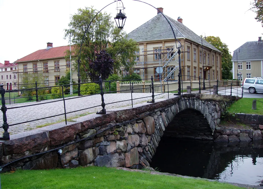 Åmål City, Åmål Municipality14 km E
-
Mo Municipality, Åmål Municipality9.7 km E
-
Mo Village, Åmål Municipality9.7 km E
Nearby attractions & nature
Everything nearby-
Baljåsen Mountain, Edsleskog socken0.3 km NE
-
Gölekullen Mountain, Edsleskog socken2.2 km E
-
Gaterudsfjällen Mountain, Säffle Municipality11 km N
-
Björnhögen Mountain, Tisselskog socken13 km S
-
Skrällerudskullen Mountain, Tisselskog socken14 km SW
-
Nötön Island, Västra Götaland County16 km SE
-
Önaholm Island, Värmland County21 km E
-
Kilaön Island, Värmland County25 km NE
Sources & licences
Data last updated: · 2 independent sources