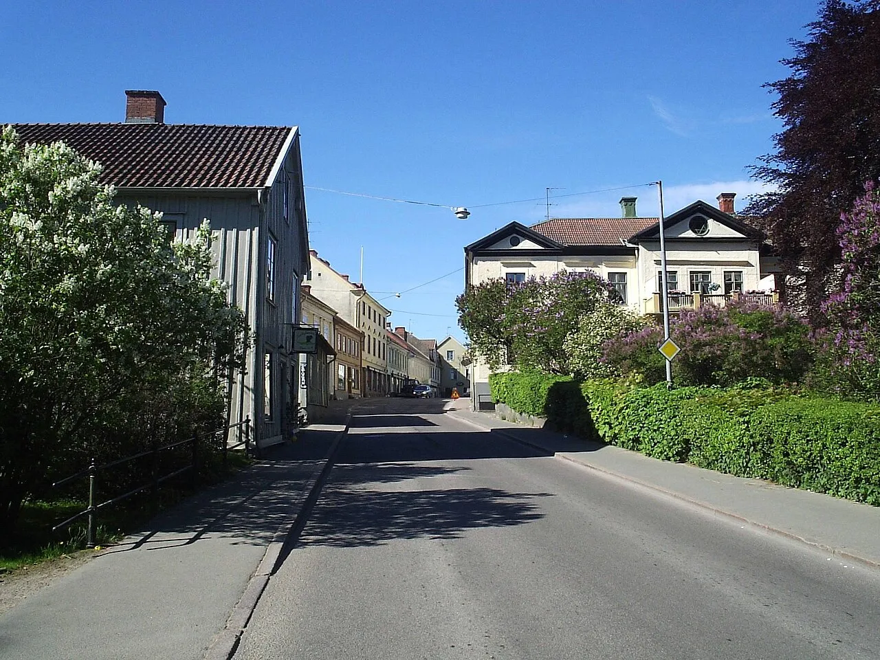
- Population
- 6,203
- 6.2K
- Elevation
- 98 m
- above sea level
- Local time
- UTC+01:00
- Europe/Stockholm · UTC+01:00
- Airports
- JKG Jönköping Airport62 km
- LPI Linköping City Airport83 km
About Hjo
Hjo is a city. Location: Hjo Municipality, Västra Götaland County. Population: 6,203. Elevation: 98 m.
Hjo (Swedish pronunciation: [ˈjuː] ) is a locality and the seat of Hjo Municipality, Västra Götaland County, Sweden. It had 6,094 inhabitants in 2010. The town is located on the west coast of Vättern.
Source: Wikipedia · CC BY-SA 4.0
At a glance
- Area
- 5.4 km²
Source: Wikidata
Photos of Hjo
-

Unknown author Unknown author · Public domain -

Sinikka Halme · CC BY-SA 4.0 -

Bengt Oberger · CC BY-SA 4.0 -

Bengt Oberger · CC BY-SA 4.0 -

AleWi · CC BY-SA 4.0


Travel notes for Hjo
From Wikivoyage
Västergötland, literally translated as western Götaland, is one of Sweden's most populous provinces. Several different subdivisions have been used during the centuries, and the province has been conjoined with Bohuslän and Dalsland to form the enormous Western Götaland County, with municipal confederations overlapping provincial borders.
Understand+
Västergötland was the core territory of the Geats, götar, a tribe that has been associated with the Goths. Around AD 1000, they united with the Suiones, svear, to form Sweden. Älvsborg, at present-day Gothenburg, was Sweden's only western port until the 17th century. Västergötland was the centre of the Swedish textile industry, until de-industrialization in the mid-20th century.
The people of Västergötland are rumoured to be humorous and optimistic.
Get in+
By plane:
Both Landvetter Airport (GOT IATA) serves Gothenburg, the largest city in the region. Airlines include SAS, FlyMe [1], Lufthansa [2], KLM [3] and Ryanair [4]. Two other airports in the region are Trollhättan Airport and Halmstad Airport, with flights from Stockholm only.
By train:
Trains go to Gothenburg, from Copenhagen, Stockholm, Oslo, Kalmar, Luleå and many other cities.
Source: Wikivoyage · CC BY-SA 4.0 · abridged
Population of Hjo over time
| 2015 | 6,203 | |
|---|---|---|
| 2016 | 6,220 | |
| 2017 | 6,264 | |
| 2018 | 6,349 | |
| 2019 | 6,351 | |
| 2020 | 6,357 | |
| 2023 | 6,427 |
Censuses and official estimates; source: Wikidata.
Climate of Hjo
Best months for sightseeingBest months for sightseeing: June–August.
This month · November
A cold month
Day 5° · Night 1° · Rain 51 mm
- Hottest month
- July (day 21°)
- Coldest month
- February (night -4°)
- Wettest month
- July (65 mm)
- Driest month
- February (26 mm)
Bars: average monthly low and high temperature. Below: precipitation. Monthly averages for 1970–2000 at about 18 km resolution, adjusted for elevation. Highlighted months are mild and relatively dry. Source: WorldClim 2.1 (CC BY 4.0).
Show values as a table
| Month | Jan | Feb | Mar | Apr | May | Jun | Jul | Aug | Sep | Oct | Nov | Dec |
|---|---|---|---|---|---|---|---|---|---|---|---|---|
| Average high (°C) | 2° | 1° | 4° | 9° | 15° | 19° | 21° | 20° | 15° | 10° | 5° | 3° |
| Average low (°C) | -4° | -4° | -3° | 0° | 5° | 9° | 11° | 11° | 8° | 4° | 1° | -2° |
| Precipitation (mm) | 38 | 26 | 33 | 35 | 41 | 60 | 65 | 62 | 65 | 52 | 51 | 45 |
How to get to Hjo
The nearest airport is Jönköping Airport (JKG), 62 km to the south as the crow flies. For international flights: Linköping City Airport (LPI) (83 km). The nearest large city is Jönköping, 58 km to the south.
Airports
- Jönköping Airport (JKG) Jönköping 62 kmsouth
- Linköping City Airport (LPI) Linköping 83 kmeast
- Örebro Airport (ORB) Örebro 112 kmnortheast
Nearby large cities
- Jönköping Population: 112.8K 58 kmsouth
- Örebro Population: 156K 121 kmnortheast
- Gothenburg Population: 608.5K 152 kmsouthwest
- Västerås Population: 127.8K 196 kmnortheast
- Sollentuna Population: 139.6K 246 kmnortheast
Straight-line distances; road distances are longer. Airport data: OurAirports.
Day trips from Hjo
Within 100 km: 5 historic and cultural sites, 3 natural sites, 55 lakes, rivers and coasts.
0–25 km1 place
- Vättern Lake 21 kmNE
25–60 km11 places
- Visingsö Island 28 kmS
- Dillö Island 58 kmNW
- Karlsö Island 56 kmSE
- Mossön Island 60 kmSE
60–100 km51 places
- Kållandsö Island 78 kmNW
- Djurö Island 79 kmNW
- Prästö Island 96 kmSE
- Kyrkö Island 98 kmSE
Straight-line distances.
Sources & licences
Data last updated: · 2 independent sources