Lilla Äxholmen
Located in Västra Götaland County, Sweden Coordinates: 57°39′55″ N 11°38′43″ E
- Elevation
- 2 m
- above sea level
- Local time
- UTC+01:00
- Europe/Stockholm · UTC+01:00
- Airports
- GOT Göteborg Landvetter Airport38 km
- THN Trollhättan-Vänersborg Airport84 km
About Lilla Äxholmen
Lilla Äxholmen is an island. Location: Västra Götaland County, Sweden. The best months to visit are June–August. The nearest airport is Göteborg Landvetter Airport (38 km). Nearby sights include Fotö and Lilla Tanneskär.
Climate of Lilla Äxholmen
Best months for sightseeingBest months for sightseeing: June–August.
This month · November
A cold month
Day 7° · Night 3° · Rain 58 mm
- Hottest month
- July (day 20°)
- Coldest month
- February (night -3°)
- Wettest month
- September (70 mm)
- Driest month
- February (29 mm)
Bars: average monthly low and high temperature. Below: precipitation. Monthly averages for 1970–2000 at about 18 km resolution, adjusted for elevation. Highlighted months are mild and relatively dry. Source: WorldClim 2.1 (CC BY 4.0).
Show values as a table
| Month | Jan | Feb | Mar | Apr | May | Jun | Jul | Aug | Sep | Oct | Nov | Dec |
|---|---|---|---|---|---|---|---|---|---|---|---|---|
| Average high (°C) | 2° | 2° | 4° | 9° | 15° | 18° | 20° | 20° | 16° | 12° | 7° | 5° |
| Average low (°C) | -2° | -3° | -1° | 2° | 7° | 11° | 13° | 13° | 10° | 7° | 3° | 0° |
| Precipitation (mm) | 44 | 29 | 38 | 31 | 39 | 46 | 48 | 57 | 70 | 61 | 58 | 55 |
How to get to Lilla Äxholmen
The nearest airport is Göteborg Landvetter Airport (GOT), 38 km to the east as the crow flies. The nearest large city is Gothenburg, 20 km to the east.
Airports
- Göteborg Landvetter Airport (GOT) Göteborg 38 kmeast
- Trollhättan-Vänersborg Airport (THN) Trollhättan 84 kmnortheast
- Aalborg Airport (AAL) Aalborg 125 kmsouthwest
Nearby large cities
- Gothenburg Population: 608.5K 20 kmeast
- Aalborg Population: 142.9K 125 kmsouthwest
- Jönköping Population: 112.8K 150 kmeast
- Aarhus Population: 285.3K 189 kmsouthwest
- Helsingborg Population: 104.2K 191 kmsouth
Straight-line distances; road distances are longer. Airport data: OurAirports.
Nearest towns and villages
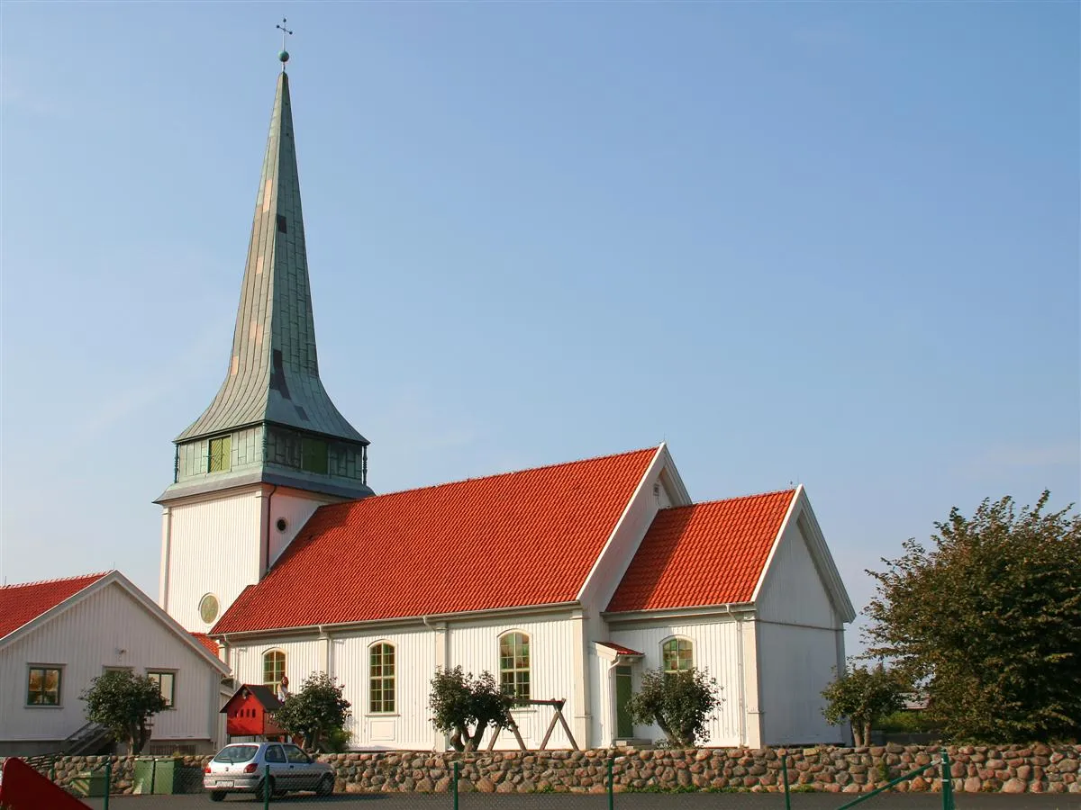
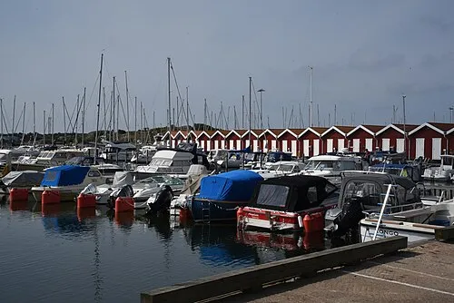
Nearby attractions & nature
Everything nearby-
Fotö Island, Västra Götaland County0.8 km NE
-
Lilla Tanneskär Island, Västra Götaland County0.7 km SE
-
Risö Island, Västra Götaland County1.2 km E
-
Klätten Island, Västra Götaland County1.3 km W
-
Hålskär Island, Västra Götaland County1.6 km SW
-
Bussholmen Island, Västra Götaland County1.6 km E
-
Lygnholmen Island, Västra Götaland County2 km E
-
Ekeskär Island, Västra Götaland County2.4 km S
More lakes, rivers and coasts in Sweden
-
Hönö Island, Västra Götaland County2.8 km N
-
Norra In-Vinga Island, Gothenburg Municipality2.9 km SW
-
Buskär Island, Västra Götaland County3.6 km SE
-
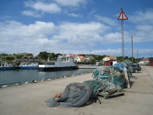 Öckerö Island, Västra Götaland County5.3 km N
-
Koholmen Island, Styrsö socken4.4 km SW
-
Danska Liljan Island, Västra Götaland County3.7 km E
Sources & licences
Data last updated: · 2 independent sources