Kållered
Located in Mölndal Municipality, Västra Götaland County Coordinates: 57°36′36″ N 12°03′04″ E
- Population
- 6,784
- 6.8K
- Elevation
- 15 m
- above sea level
- Local time
- UTC+01:00
- Europe/Stockholm · UTC+01:00
- Airports
- GOT Göteborg Landvetter Airport15 km
- THN Trollhättan-Vänersborg Airport81 km
About Kållered
Kållered is a town. Location: Mölndal Municipality, Västra Götaland County. Population: 6,784. Elevation: 15 m.
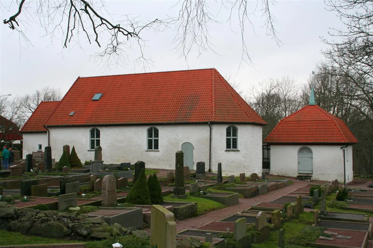
Kållered is a locality and a township situated in Mölndal Municipality, Västra Götaland County, Sweden with 7,456 inhabitants in 2010. Geographically, Kållered is mainly a dell, surrounded by ridges and mountainous terrain, with partially dense forestry particularly towards the south. The locality is a built up area, despite the number of inhabitants.
Source: Wikipedia · CC BY-SA 4.0
At a glance
- Area
- 4.8 km²
Source: Wikidata
Photos of Kållered
-

Historiker · CC BY-SA 3.0 -

David Nyrén · Public domain -

David Nyrén · Public domain -

Andersreilund · CC BY-SA 4.0


Climate of Kållered
Best months for sightseeingBest months for sightseeing: June–August.
This month · November
A cold month
Day 6° · Night 2° · Rain 84 mm
- Hottest month
- July (day 20°)
- Coldest month
- February (night -3°)
- Wettest month
- September (86 mm)
- Driest month
- April (46 mm)
Bars: average monthly low and high temperature. Below: precipitation. Monthly averages for 1970–2000 at about 18 km resolution, adjusted for elevation. Highlighted months are mild and relatively dry. Source: WorldClim 2.1 (CC BY 4.0).
Show values as a table
| Month | Jan | Feb | Mar | Apr | May | Jun | Jul | Aug | Sep | Oct | Nov | Dec |
|---|---|---|---|---|---|---|---|---|---|---|---|---|
| Average high (°C) | 2° | 2° | 5° | 9° | 16° | 19° | 20° | 20° | 16° | 11° | 6° | 3° |
| Average low (°C) | -3° | -3° | -1° | 2° | 7° | 11° | 13° | 12° | 9° | 6° | 2° | -1° |
| Precipitation (mm) | 72 | 51 | 53 | 46 | 51 | 67 | 69 | 77 | 86 | 84 | 84 | 85 |
How to get to Kållered
The nearest airport is Göteborg Landvetter Airport (GOT), 15 km to the northeast as the crow flies. The nearest large city is Gothenburg, 12 km to the northwest.
Airports
- Göteborg Landvetter Airport (GOT) Göteborg 15 kmnortheast
- Trollhättan-Vänersborg Airport (THN) Trollhättan 81 kmnorth
- Halmstad Airport (HAD) Halmstad 112 kmsoutheast
Nearby large cities
- Gothenburg Population: 608.5K 12 kmnorthwest
- Jönköping Population: 112.8K 127 kmeast
- Aalborg Population: 142.9K 143 kmsouthwest
- Helsingborg Population: 104.2K 178 kmsouth
- Aarhus Population: 285.3K 197 kmsouthwest
Straight-line distances; road distances are longer. Airport data: OurAirports.
Day trips from Kållered
Within 100 km: 12 historic and cultural sites, 69 natural sites, 359 lakes, rivers and coasts.
0–25 km100 places
- Hisingen Island 20 kmNW
- Bockön Island 21 kmSW
- Kråkholmen Island 19 kmSW
- Keholmen Island 15 kmSW
25–60 km179 places
- Flatskär Island 25 kmS
- Jäven Island 25 kmS
- Lyngskär Island 25 kmS
- Långskär Island 25 kmS
60–100 km161 places
- Orust Island 67 kmN
- Skaftölandet Island 78 kmNW
- Grötö Island 78 kmNW
- Lindholmen Island 80 kmNW
Straight-line distances.
Nearby attractions & nature
Everything nearby-
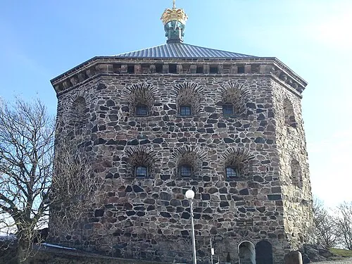 Crown Redoubt Historic site, Gothenburg11 km NW
-
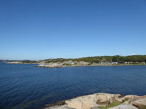 Lilla Amundö Island, Västra Götaland County8.2 km W
-
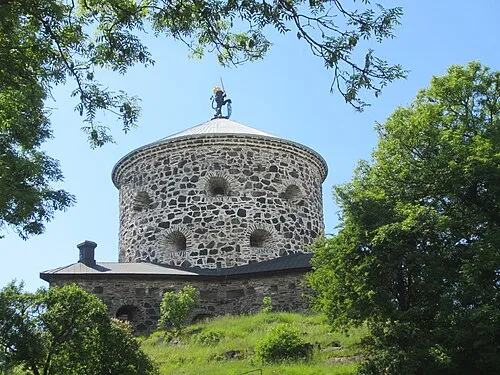 Lion Sconce Historic site, Gothenburg12 km N
-
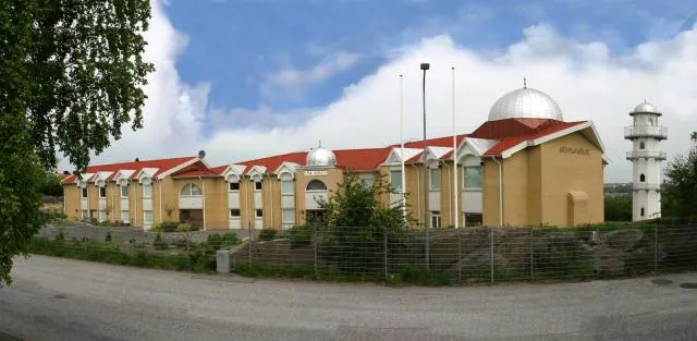 Nasir Mosque Attraction, Gothenburg11 km NW
-
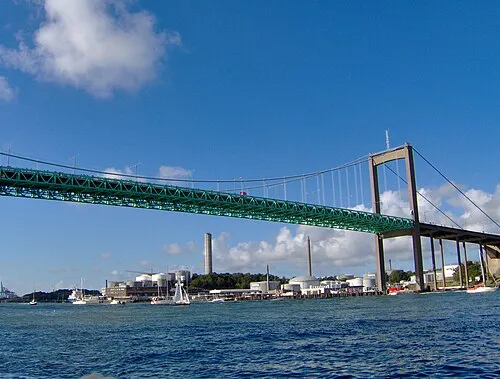 Älvsborg Bridge Landmark, Gothenburg13 km NW
-
Killingsholmen Island, Västra Götaland County8.1 km SW
-
Norra Saltkälen Island, Västra Götaland County8.9 km SW
-
Byggholmen Island, Västra Götaland County8.8 km W
Sources & licences
Data last updated: · 2 independent sources