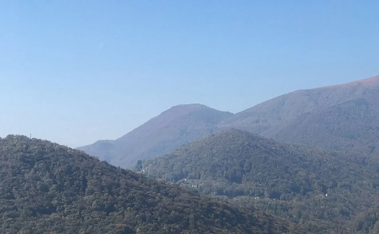
- Elevation
- 1,184 m
- above sea level
- Local time
- UTC+01:00
- Europe/Zurich · UTC+01:00
- Airports
- LUG Lugano Airport7 km
- MXP Milan Malpensa International Airport44 km
About Monte Rogoria
Monte Rogoria is a mountain. Location: Lema, Lugano District. Elevation: 1,184 m.
Monte Rogoria (also known as Monte Rogorio or Motto Croce) is a mountain of the Lugano Prealps, located on the border between Switzerland and Italy, north of Astano, at the foot of the Monte Lema. The summit and the majority of the mountain are in the Swiss canton of Ticino, whilst a part of the north-western flank lies in the Italian region of Lombardy. It has an elevation of 1,184 metres above sea level.
Source: Wikipedia · CC BY-SA 4.0
At a glance
- Topographic prominence
- 67 m
Source: Wikidata
Photos of Monte Rogoria
-

Galbirona · CC BY-SA 4.0 -

Galbirona · CC BY-SA 4.0 -

Galbirona · CC BY-SA 4.0


Climate of Monte Rogoria
Best months for sightseeingBest months for sightseeing: July–August.
This month · November
A cold month
Day 5° · Night -3° · Rain 99 mm
- Hottest month
- July (day 21°)
- Coldest month
- January (night -6°)
- Wettest month
- May (154 mm)
- Driest month
- February (64 mm)
Bars: average monthly low and high temperature. Below: precipitation. Monthly averages for 1970–2000 at about 18 km resolution, adjusted for elevation. Highlighted months are mild and relatively dry. Source: WorldClim 2.1 (CC BY 4.0).
Show values as a table
| Month | Jan | Feb | Mar | Apr | May | Jun | Jul | Aug | Sep | Oct | Nov | Dec |
|---|---|---|---|---|---|---|---|---|---|---|---|---|
| Average high (°C) | 2° | 3° | 7° | 10° | 14° | 18° | 21° | 20° | 16° | 10° | 5° | 2° |
| Average low (°C) | -6° | -6° | -3° | 0° | 5° | 8° | 10° | 10° | 7° | 2° | -3° | -6° |
| Precipitation (mm) | 74 | 64 | 92 | 122 | 154 | 149 | 120 | 142 | 136 | 134 | 99 | 68 |
How to get to Monte Rogoria
The nearest airport is Lugano Airport (LUG), 7 km to the east as the crow flies. For international flights: Milan Malpensa International Airport (MXP) (44 km). The nearest large city is Bern, 147 km to the northwest.
Airports
- Lugano Airport (LUG) Agno 7 kmeast
- Milan Malpensa International Airport (MXP) Ferno (VA) 44 kmsouth
- Milano Linate Airport (LIN) Segrate (MI) 73 kmsoutheast
Nearby large cities
- Bern Population: 121.6K 147 kmnorthwest
- Zurich Population: 415.4K 151 kmnorth
- Winterthur Population: 111.8K 165 kmnorth
- Lausanne Population: 139.1K 177 kmwest
- Basel Population: 177.6K 195 kmnorthwest
Straight-line distances; road distances are longer. Airport data: OurAirports.
Day trips from Monte Rogoria
Within 100 km: 106 historic and cultural sites, 5,052 natural sites, 624 lakes, rivers and coasts.
0–25 km202 places
- Isole di Brissago Island 14 kmNW
- Sant' Apollinare Island 14 kmNW
- San Pancrazio Island 14 kmNW
- Laghetto di Muzzano Lake 9 kmE
25–60 km1,245 places
- Lago Nero Lake 52 kmNW
- Lago Tremorgio Lake 51 kmN
- Lago Sfundau Lake 54 kmNW
- Lago del Sambuco Lake 50 kmN
60–100 km4,335 places
- Neptun-Inseln Island 98 kmN
- Lorelei-Inseln Island 98 kmN
- Chaviolas Island 84 kmNE
- Lajets Lake 79 kmNE
Straight-line distances.
Nearest towns and villages
Nearby attractions & nature
Everything nearby-
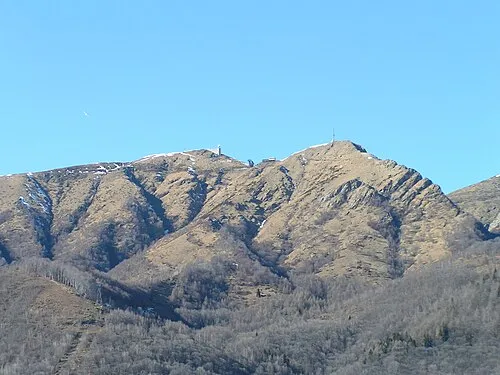 Monte Lema Mountain, Lema2.2 km NE
-
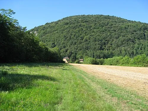 Monte Clivio Mountain, Dumenza2.3 km SW
-
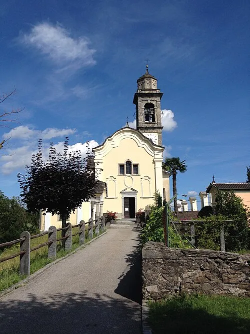 Santi Pietro e Paolo Attraction, Lema1.2 km S
-
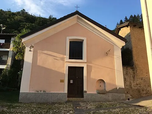 Sant'Antonio Abate Attraction, Lema1.1 km S
-
Laghetto Lake, Lema1.5 km SW
-
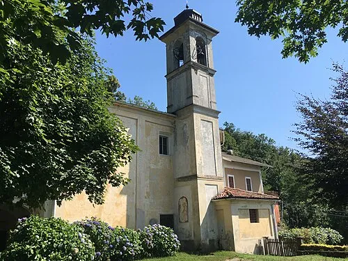 Santuario di Trezzo Attraction, Dumenza1.9 km W
-
Poncione di Breno Mountain, Alto Malcantone3.5 km NE
-
I Mundínn Mountain, Lema4.4 km SE
Sources & licences
Data last updated: · 2 independent sources