Dalerveen
Located in Coevorden, Drenthe Coordinates: 52°41′57″ N 6°48′25″ E
- Population
- 315
- 315
- Elevation
- 13 m
- above sea level
- Local time
- UTC+01:00
- Europe/Amsterdam · UTC+01:00
About Dalerveen
Dalerveen is a village. Location: Coevorden, Drenthe. Population: 315. Elevation: 13 m.
Dalerveen is a village in the Netherlands and it is part of the Coevorden municipality in Drenthe. Dalerveen started during the peat excavation from Dalen. There were originally two villages: De Haar and Dalerveen. It was first mentioned in 1597 as "uth Daler venne" and means "the bog near Dalen". In 1840, it was home to 275 people. In the 1940, De Haar and Dalerveen merged into a single village.
Read more on Wikipedia Text: Wikipedia contributors · CC BY-SA 4.0 · shortened
In comparison
- No. 16 of 29 places in Coevorden by population
- Nearest larger town: Veenoord, 3 km NE
Nearby attractions & nature
Everything nearby-
Breiberg Mountain, Coevorden9.8 km W
-
Kniepenberg Mountain, Wielen19 km S
-
Fürstenbelt Mountain, Itterbeck25 km S
-
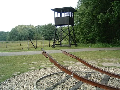 Police Custody Camp Westerbork Historic site, Gemeente Midden-Drenthe22 km NW
-
Auf dem Bült Mountain, Twist19 km SE
-
Weißer Berg Mountain, Itterbeck23 km S
Sources & licences
Data last updated: · 2 independent sources