Wateren
Located in Gemeente Westerveld, Drenthe Coordinates: 52°54′48″ N 6°16′45″ E
- Elevation
- 8 m
- above sea level
- Local time
- UTC+01:00
- Europe/Amsterdam · UTC+01:00
About Wateren
Wateren is a village. Location: Gemeente Westerveld, Drenthe. Elevation: 8 m.
Wateren is a hamlet in the Dutch province of Drenthe. It is a part of the municipality of Westerveld, and lies about 22 km (14 mi) west of the provincial capital Assen. It was first mentioned in 1408 as van Wachthorn. The etymology is unclear. The hamlet contains about 60 houses.
Read more on Wikipedia Text: Wikipedia contributors · CC BY-SA 4.0 · shortened
In comparison
Nearby attractions & nature
Everything nearby-
Boschberg Mountain, Ooststellingwerf Municipality5.8 km NE
-
Havelterberg Mountain, Gemeente Westerveld14 km S
-
Bendersche Berg Mountain, Gemeente Westerveld15 km SE
-
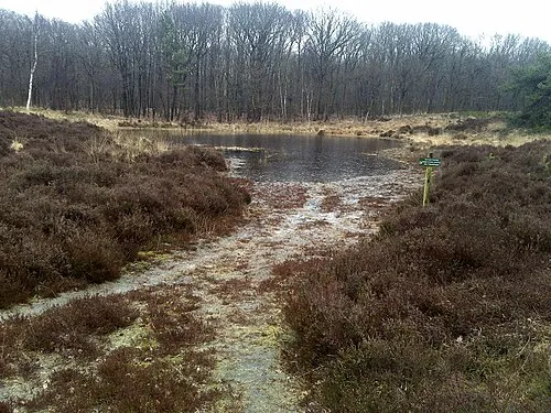 Kiekenberg Mountain, Heerenveen Municipality13 km W
-
Hunnenkloosterberg Mountain, Gemeente De Wolden20 km S
-
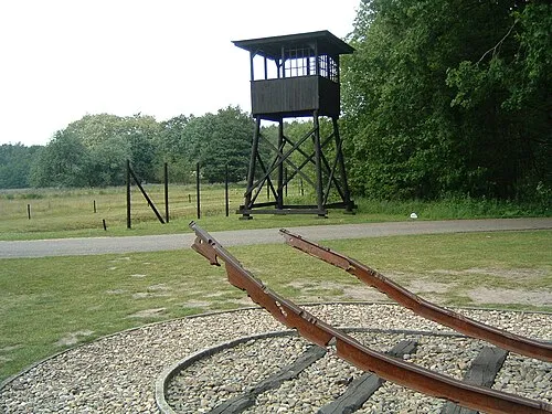 Police Custody Camp Westerbork Historic site, Gemeente Midden-Drenthe23 km E
Sources & licences
Data last updated: · 2 independent sources