Betterwird
Located in Northeast Friesland, Friesland Coordinates: 53°19′56″ N 5°58′03″ E
- Elevation
- -2 m
- above sea level
- Local time
- UTC+01:00
- Europe/Amsterdam · UTC+01:00
About Betterwird
Betterwird is a village. Location: Northeast Friesland, Friesland. Elevation: -2 m.
Betterwird or Betterwurd is a hamlet in the municipality of Noardeast-Fryslân in Friesland, the Netherlands. Before 2019, the village was part of the Dongeradeel municipality. Betterwird is not a statistical entity, and the postal authorities have placed it under Bornwird. The name Betterwird is nowadays also used for an industrial zone of Dokkum. It has no place name signs. In 1840, it was home to 203 people. Nowadays, it consists of about 7 houses.
Read more on Wikipedia Text: Wikipedia contributors · CC BY-SA 4.0 · shortened
In comparison
Nearby attractions & nature
Everything nearby-
 Cambuur Stadion Landmark, Leeuwarden Municipality17 km SW
-
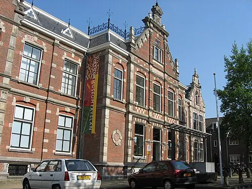 Natuurmuseum Fryslân Museum, Leeuwarden Municipality18 km SW
-
Het Hen Beach, Ameland Municipalitye15 km N
-
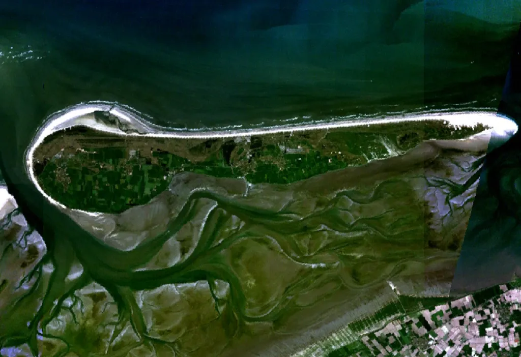 Ameland Island, Friesland17 km NW
-
Beach Ameland Beach, Ameland Municipalitye20 km NW
-
Leeuwarden Concentration Camp Historic site, Leeuwarden Municipality18 km SW
Sources & licences
Data last updated: · 2 independent sources