Northeast Friesland
Located in Friesland, The Netherlands Coordinates: 53°19′56″ N 6°01′16″ E
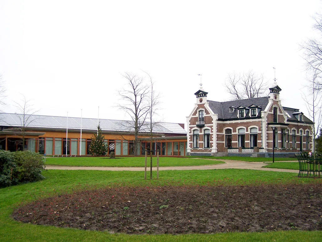
- Population
- 45,181
- 45.2K
- Elevation
- -1 m
- above sea level
- Local time
- UTC+01:00
- Europe/Amsterdam · UTC+01:00
- Places inside
- 61
- listed under Northeast Friesland
- Airports
- GRQ Groningen Airport Eelde44 km
- AMS Amsterdam Airport Schiphol142 km
About Northeast Friesland
Northeast Friesland is a district. Location: Friesland, The Netherlands. Population: 45,181. The best months to visit are June–August. The nearest airport is Groningen Airport Eelde (44 km). Nearby sights include Cambuur Stadion and Ameland.
Climate of Northeast Friesland
Best months for sightseeingBest months for sightseeing: June–August.
This month · November
A cold month
Day 9° · Night 3° · Rain 92 mm
- Hottest month
- August (day 21°)
- Coldest month
- February (night 0°)
- Wettest month
- November (92 mm)
- Driest month
- April (45 mm)
Bars: average monthly low and high temperature. Below: precipitation. Monthly averages for 1970–2000 at about 18 km resolution, adjusted for elevation. Highlighted months are mild and relatively dry. Source: WorldClim 2.1 (CC BY 4.0).
Show values as a table
| Month | Jan | Feb | Mar | Apr | May | Jun | Jul | Aug | Sep | Oct | Nov | Dec |
|---|---|---|---|---|---|---|---|---|---|---|---|---|
| Average high (°C) | 5° | 5° | 8° | 12° | 16° | 19° | 21° | 21° | 18° | 13° | 9° | 6° |
| Average low (°C) | 0° | 0° | 2° | 4° | 7° | 10° | 12° | 12° | 10° | 7° | 3° | 1° |
| Precipitation (mm) | 72 | 50 | 63 | 45 | 53 | 71 | 73 | 62 | 83 | 83 | 92 | 81 |
How to get to Northeast Friesland
The nearest airport is Groningen Airport Eelde (GRQ), 44 km to the southeast as the crow flies. The nearest large city is Leeuwarden, 20 km to the southwest.
Airports
- Groningen Airport Eelde (GRQ) Groningen 44 kmsoutheast
- Amsterdam Airport Schiphol (AMS) Amsterdam 142 kmsouthwest
- Münster Osnabrück Airport (FMO) Greven 175 kmsoutheast
Nearby large cities
- Leeuwarden Population: 124.5K 20 kmsouthwest
- Groningen Population: 244.8K 39 kmeast
- Zwolle Population: 129.8K 91 kmsouth
- Almere Stad Population: 176.4K 120 kmsouthwest
- Apeldoorn Population: 136.7K 125 kmsouth
Straight-line distances; road distances are longer. Airport data: OurAirports.
Day trips from Northeast Friesland
Within 100 km: 49 historic and cultural sites, 63 natural sites, 101 lakes, rivers and coasts.
0–25 km8 places
- Ameland Island 20 kmNW
- Oosterstrand Beach 24 kmNE
- Het Rif Beach 16 kmNE
- Het Hen Beach 16 kmN
25–60 km36 places
- Borkum Island 52 kmNE
- Nordstrand Beach 58 kmNE
- Borkum Island 51 kmNE
- Tüskendörsee Lake 55 kmNE
60–100 km169 places
- Texel Island 84 kmW
- Norderney Island 91 kmNE
- Juist Island 75 kmNE
- Ostbad Beach 90 kmNE
Straight-line distances.
Places in Northeast Friesland
61 places- 1 Dokkum 12.7K
- 2 Kollum 5.5K
- 3 Kollumersweach 2.8K
- 4 Hallum 2.4K
- 5 Ferwert 1.9K
- 6 Holwert 1.4K
- 7 Marrum 1.2K
- 8 Burdaard 1.2K
- 9 Ternaard 1.2K
- 10 Mitselwier 885
- 11 Eanjum 880
- 12 Easternijtsjerk 810
- 13 Aldwâld 635
- 14 Blije 610
- 15 Ee 610
- 16 Sweagerbosk 585
- 17 Burum 525
- 18 Westergeast 500
- 19 Engwierum 410
- 20 Munnekezijl 405
- 21 Kollumerpomp 340
- 22 De Trieme 320
- 23 Hantum 320
- 24 Nijewier 315
- 25 Wierum 315
- 26 Nes 300
- 27 Ljussens 280
- 28 Raard 225
- 29 Brantgum 215
- 30 Moddergat 215
- 31 Paesens 175
- 32 Moarre 160
- 33 Warfstermolen 150
- 34 Reitsum 135
- 35 Bornwird 120
- 36 Eastrum 120
- 37 Aalsum 110
- 38 Feankleaster 105
- 39 Wanswerd 105
- 40 Hantumhuzen 100
- 41 Ginnum 95
- 42 Lichtaard 90
- 43 Hegebeintum 85
- 44 De Skâns-Oostmahorn 85
- 45 Foudgum 80
- 46 Jislum 70
- 47 Hantumerútbuorren 65
- 48 Hiaure 65
- 49 Dokkumer Nieuwe Zijlen 45
- 50 Jannum 40
- 51 Jouswier 40
- 52 Waaxens 35
Bar: population relative to the most populous place in this list.
Nearby attractions & nature
Everything nearby-
 Cambuur Stadion Landmark, Leeuwarden Municipality20 km SW
-
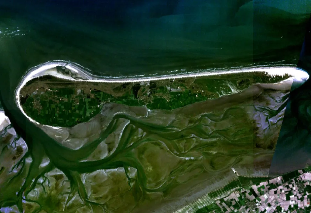 Ameland Island, Friesland20 km NW
-
Het Rif Beach, Friesland16 km NE
-
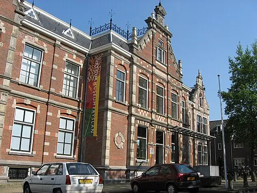 Natuurmuseum Fryslân Museum, Leeuwarden Municipality21 km SW
-
Het Hen Beach, Ameland Municipalitye16 km N
-
Oosterstrand Beach, Schiermonnikoog Municipality24 km NE
Sources & licences
Data last updated: