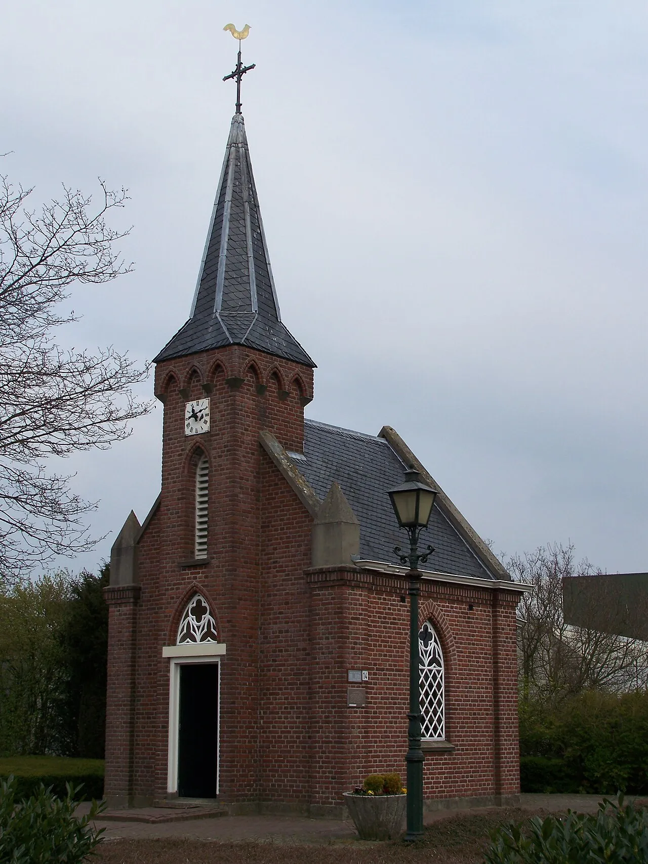
- Population
- 8,240
- 8.2K
- Elevation
- 20 m
- above sea level
- Local time
- UTC+01:00
- Europe/Amsterdam · UTC+01:00
- Airports
- NRN Weeze (Niederrhein) Airport38 km
- DUS Düsseldorf Airport67 km
About Dinxperlo
Dinxperlo is a town. Location: Aalten Municipality, Gelderland. Population: 8,240. Elevation: 20 m.
Dinxperlo (Dutch: [ˈdɪŋkspərloː] ; Dutch Low Saxon: Dinsper) is a town and former municipality in the eastern Netherlands (Achterhoek region), situated directly at the Germany-Netherlands border. Since 1 January 2005, Dinxperlo has been part of the municipality of Aalten. Before 2005, Dinxperlo was a separate municipality, covering the town of Dinxperlo itself and the village of De Heurne. The name of the village probably is derived from dingspel (justice court or area) and loo (wood).
Source: Wikipedia · CC BY-SA 4.0
Photos of Dinxperlo
-

Ziko van Dijk · CC BY-SA 4.0 -

Ziko van Dijk · CC BY-SA 4.0 -

Ziko van Dijk · CC BY-SA 4.0


Places bordering Dinxperlo
- Suderwick
Population of Dinxperlo over time
| 1879 | 2,369 | |
|---|---|---|
| 1889 | 2,431 | |
| 1899 | 2,627 | |
| 1909 | 2,965 | |
| 1920 | 3,261 | |
| 1930 | 3,525 | |
| 1947 | 4,308 | |
| 1960 | 5,472 | |
| 1971 | 6,568 | |
| 1980 | 7,521 | |
| 1990 | 8,231 | |
| 2000 | 8,565 |
Censuses and official estimates; source: Wikidata.
Climate of Dinxperlo
Best months for sightseeingBest months for sightseeing: June–August.
This month · November
A cold month
Day 9° · Night 3° · Rain 66 mm
- Hottest month
- July (day 23°)
- Coldest month
- February (night 0°)
- Wettest month
- June (73 mm)
- Driest month
- April (43 mm)
Bars: average monthly low and high temperature. Below: precipitation. Monthly averages for 1970–2000 at about 18 km resolution, adjusted for elevation. Highlighted months are mild and relatively dry. Source: WorldClim 2.1 (CC BY 4.0).
Show values as a table
| Month | Jan | Feb | Mar | Apr | May | Jun | Jul | Aug | Sep | Oct | Nov | Dec |
|---|---|---|---|---|---|---|---|---|---|---|---|---|
| Average high (°C) | 5° | 6° | 9° | 13° | 18° | 21° | 23° | 23° | 19° | 14° | 9° | 6° |
| Average low (°C) | 0° | 0° | 2° | 4° | 8° | 11° | 13° | 12° | 10° | 6° | 3° | 1° |
| Precipitation (mm) | 63 | 45 | 62 | 43 | 61 | 73 | 69 | 58 | 69 | 61 | 66 | 72 |
How to get to Dinxperlo
The nearest airport is Weeze (Niederrhein) Airport (NRN), 38 km to the southwest as the crow flies. The nearest large city is Arnhem, 42 km to the west.
Airports
- Weeze (Niederrhein) Airport (NRN) Weeze 38 kmsouthwest
- Düsseldorf Airport (DUS) Düsseldorf 67 kmsouth
- Dortmund Airport (DTM) Dortmund 87 kmsoutheast
Nearby large cities
- Arnhem Population: 162.4K 42 kmwest
- Nijmegen Population: 177.4K 44 kmwest
- Moers Population: 103.5K 47 kmsouth
- Enschede Population: 153.7K 48 kmnortheast
- Bottrop Population: 119.9K 49 kmsoutheast
Straight-line distances; road distances are longer. Airport data: OurAirports.
Day trips from Dinxperlo
Within 100 km: 259 historic and cultural sites, 517 natural sites, 399 lakes, rivers and coasts.
0–25 km84 places
- Strang Lake 22 kmW
- Schmales Meer Lake 11 kmS
- Millinger Meer Lake 10 kmSW
- Lange Renne Lake 15 kmS
25–60 km369 places
- Kasteel Arcen Historic site 48 kmSW
- Wijlermeer Lake 37 kmW
- Halterner Talsperre Lake 52 kmE
- Schrolik Lake 60 kmS
60–100 km722 places
- Putjensberg Mountain 68 kmNW
- Veldhoven Bos Natural site 96 kmSW
- Varkensbos Natural site 97 kmSW
- Sint-Martens-Heide Natural site 97 kmSW
Straight-line distances.
Nearby attractions & nature
Everything nearby-
Reyerdingsbach River, North Rhine-Westphalia2.9 km E
-
Holtwicker Bach River, North Rhine-Westphalia3 km E
-
Nebenissel River, North Rhine-Westphalia4.1 km S
-
Burg Anholt Historic site, Isselburg4.7 km SW
-
Mühlenbach River, North Rhine-Westphalia6 km SW
-
Regnieter Bach River, Germany7.2 km W
-
Kleine Issel River, North Rhine-Westphalia7.9 km SE
-
Bocholt Pfarrkirche St. Georg Attraction, Bocholt9.2 km E
Sources & licences
Data last updated: · 2 independent sources