Arnhem Municipality
Local name: Arnhem
Located in Gelderland, The Netherlands Coordinates: 52°00′04″ N 5°53′47″ E
- Population
- 157,223
- 157.2K
- Elevation
- 80 m
- above sea level
- Local time
- UTC+01:00
- Europe/Amsterdam · UTC+01:00
- Places inside
- 15
- listed under Arnhem Municipality
About Arnhem Municipality
Arnhem Municipality is a district. Location: Gelderland, The Netherlands. Population: 157,223.
Arnhem (Dutch: [ˈɑrnɛm] or [ˈɑr(ə)nɦɛm] ; German: Arnheim [ˈaʁnhaɪm] ; Ernems: Èrnem) is a city and municipality situated in the eastern part of the Netherlands, near the German border. It is the capital of the province of Gelderland and its second-most populous municipality (after Nijmegen), located on both banks of the rivers Nederrijn and Sint-Jansbeek, which was the source of the city's development.
Read more on Wikipedia Text: Wikipedia contributors · CC BY-SA 4.0 · shortened
At a glance
- Built
- 1233
- Area
- 102 km²
Source: Wikidata
In comparison
- 11 sights and natural places within 10 km Nelson Mandelabrug, Breeberg
- Listed here: Neighbourhood: 8, Village: 4, City: 1, Landmark: 1
Places in Arnhem Municipality
15 places-
Arnhem City162.4K
-
Vredenburg Village4.4K
-
Malburgen West Neighbourhood4.2K
-
Geitenkamp Neighbourhood4K
-
Burgemeesterswijk Neighbourhood2.8K
-
Elden Village2.3K
-
Hoogkamp Neighbourhood1.9K
-
Gulden Bodem Neighbourhood1.2K
-
Sterrenberg Neighbourhood1K
-
Bakenberg Neighbourhood1K
-
Schaarsbergen Village230
-
Galgenberg Mountain
-
Malburgen Neighbourhood
-
Nelson Mandelabrug Landmark
-
Rijkerswoerd Village
Nearby attractions & nature
Everything nearby-
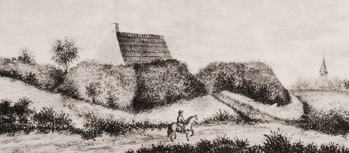 Breeberg Mountain, Rozendaal Municipality3.8 km E
-
Tonberg Mountain, Rozendaal Municipality4.7 km E
-
Kluizenaarsberg Mountain, Rozendaal Municipality5.4 km E
-
Ossenberg Mountain, Rheden Municipality6.5 km E
-
Kompagnieberg Mountain, Ede Municipality8.1 km NW
-
Tafelberg Mountain, Rheden Municipality8.1 km NE
Sources & licences
Data last updated: · 2 independent sources