Rheden Municipality
Located in Gelderland, The Netherlands Coordinates: 52°02′02″ N 6°02′44″ E
- Population
- 43,525
- 43.5K
- Elevation
- 82 m
- above sea level
- Local time
- UTC+01:00
- Europe/Amsterdam · UTC+01:00
- Places inside
- 15
- listed under Rheden Municipality
About Rheden Municipality
Rheden Municipality is a district. Location: Gelderland, The Netherlands. Population: 43,525.
In comparison
- 15 sights and natural places within 10 km Rouwenberg, Hullekesberg
- Listed here: Mountain: 8, Village: 4, Town: 3
Airports nearest to Rheden Municipality
- Weeze (Niederrhein) Airport (NRN) Weeze 49 km
- Eindhoven Airport (EIN) Eindhoven 80 km
- Amsterdam Airport Schiphol (AMS) Amsterdam 93 km
Straight-line distance; airports with scheduled flights only. Source: OurAirports (public domain).
Places in Rheden Municipality
15 places-
Velp Town17.7K
-
Dieren Town14.8K
-
Rheden Town7.4K
-
Ellecom Village1K
-
De Steeg Village990
-
Laag-Soeren Village950
-
Spankeren Village775
-
Carolinaberg Mountain
-
Geitenberg Mountain
-
Hullekesberg Mountain
-
Jutberg Mountain
-
Koepelberg Mountain
-
Ossenberg Mountain
-
Rouwenberg Mountain
-
Tafelberg Mountain
Nearby attractions & nature
Everything nearby-
Imboschberg Mountain, Rozendaal Municipality4.2 km NW
-
Kluizenaarsberg Mountain, Rozendaal Municipality5.5 km SW
-
Tonberg Mountain, Rozendaal Municipality6.2 km W
-
Valenberg Mountain, Apeldoorn Municipality6.8 km NW
-
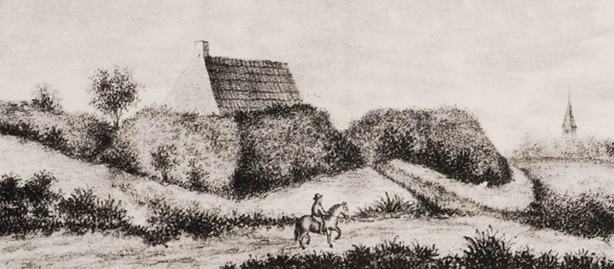 Breeberg Mountain, Rozendaal Municipality7.1 km SW
-
Zwarte Berg Mountain, Apeldoorn Municipality7.6 km NW
Sources & licences
Data last updated: