Brummen Municipality
Located in Gelderland, The Netherlands Coordinates: 52°06′38″ N 6°07′04″ E
- Population
- 20,884
- 20.9K
- Elevation
- 8 m
- above sea level
- Local time
- UTC+01:00
- Europe/Amsterdam · UTC+01:00
- Places inside
- 9
- listed under Brummen Municipality
About Brummen Municipality
Brummen Municipality is a district. Location: Gelderland, The Netherlands. Population: 20,884.
In comparison
- 8 sights and natural places within 10 km Jutberg, St Walburgis Church
- Listed here: Village: 7, Town: 2
Places in Brummen Municipality
9 places-
Brummen Town21.3K
-
Eerbeek Town10.1K
-
Hall Village850
-
Empe Village708
-
Tonden Village340
-
Wilhelminapark Village300
-
Cortenoever Village210
-
Coldenhove Village140
-
Voorstonden Village95
Nearby attractions & nature
Everything nearby-
Jutberg Mountain, Rheden Municipality5.7 km SW
-
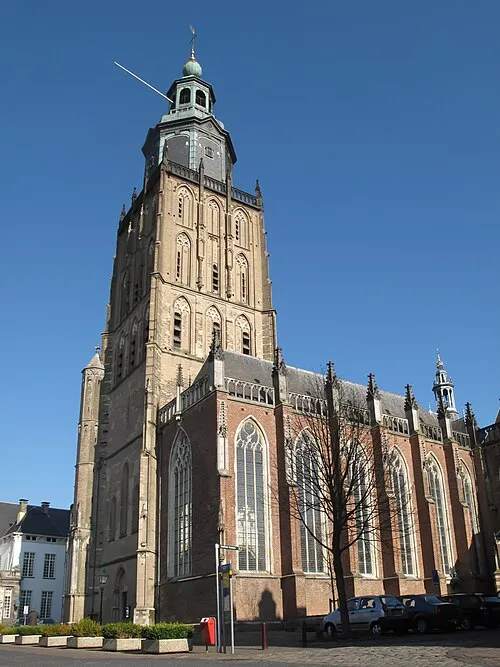 St Walburgis Church Attraction, Gemeente Zutphen6.2 km NE
-
Geitenberg Mountain, Rheden Municipality6.6 km SW
-
Carolinaberg Mountain, Rheden Municipality7.8 km S
-
Valenberg Mountain, Apeldoorn Municipality8.7 km W
-
De Reeënberg Mountain, Apeldoorn Municipality9 km W
Sources & licences
Data last updated: