Erichem
Located in Buren Municipality, Gelderland Coordinates: 51°54′03″ N 5°20′55″ E
- Population
- 400
- 400
- Elevation
- 5 m
- above sea level
- Local time
- UTC+01:00
- Europe/Amsterdam · UTC+01:00
About Erichem
Erichem is a village. Location: Buren Municipality, Gelderland. Population: 400. Elevation: 5 m.
Erichem is a village in the Dutch province of Gelderland. It is a part of the municipality of Buren, and lies about 5 km west of Tiel. It was first mentioned in 850 as Ermkina, and means "settlement of the people of Ero or Eric (person)". The village developed along a former stream as a stretched out esdorp. The St. Joris Church has a 14th-century tower with a 13th-century base. The church dates from around 1500. In 1840, it was home to 438 people. In 2017, a barn fire in Erichem killed approximately 20,000 pigs.
Read more on Wikipedia Text: Wikipedia contributors · CC BY-SA 4.0 · shortened
In comparison
- No. 9 of 16 places in Buren Municipality by population
- Nearest larger town: Buren, 2 km NW
Nearby attractions & nature
Everything nearby-
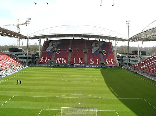 Stadion Galgenwaard Landmark, Gemeente Utrecht24 km NW
-
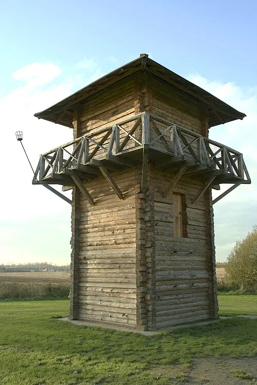 Fectio Historic site, Bunnik Municipality21 km NW
-
Amerongsche Berg Mountain, Gemeente Utrechtse Heuvelrug15 km NE
-
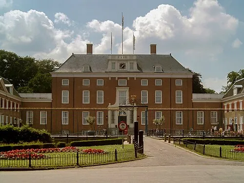 Slot Zeist Historic site, Gemeente Zeist21 km N
-
Paasheuvel Mountain, Rhenen Municipality17 km NE
-
Elsterberg Mountain, Rhenen Municipality15 km NE
Sources & licences
Data last updated: · 2 independent sources