Gemeente Bronckhorst
Located in Gelderland, The Netherlands Coordinates: 52°02′38″ N 6°18′14″ E
- Population
- 36,087
- 36.1K
- Elevation
- 14 m
- above sea level
- Local time
- UTC+01:00
- Europe/Amsterdam · UTC+01:00
- Places inside
- 23
- listed under Gemeente Bronckhorst
About Gemeente Bronckhorst
Gemeente Bronckhorst is a district. Location: Gelderland, The Netherlands. Population: 36,087.
In comparison
- Listed here: Village: 22, Town: 1
Places in Gemeente Bronckhorst
23 places-
Zelhem Town5.8K
-
Vorden Village4.9K
-
Steenderen Village2K
-
Hengelo Village4.5K
-
Keijenborg Village1K
-
Hummelo Village1K
-
Drempt Village965
-
Halle Village725
-
Baak Village575
-
Wichmond Village475
-
Laag-Keppel Village450
-
Hoog-Keppel Village430
-
Toldijk Village385
-
Gooi Village370
-
Achterdrempt Village325
-
Velswijk Village285
-
Kranenburg Village215
-
Olburgen Village210
-
Veldhoek Village150
-
Bronkhorst Village95
-
Rha Village85
-
Eldrik Village
-
Meuhoek Village
Nearby attractions & nature
Everything nearby-
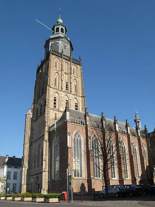 St Walburgis Church Attraction, Gemeente Zutphen13 km NW
-
Carolinaberg Mountain, Rheden Municipality15 km W
-
Geitenberg Mountain, Rheden Municipality16 km W
-
Keurvorstenheuvel Mountain, Gemeente Montferland16 km S
-
Jutberg Mountain, Rheden Municipality16 km W
-
Rijsberg Mountain, Gemeente Montferland17 km S
Sources & licences
Data last updated: