- Elevation
- 7 m
- above sea level
- Local time
- UTC+01:00
- Europe/Amsterdam · UTC+01:00
- Airports
- NRN Weeze (Niederrhein) Airport47 km
- EIN Eindhoven Airport48 km
About Neersteind
Neersteind is a village. Location: Gemeente Druten, Gelderland. Elevation: 7 m. The best months to visit are June–August. The nearest airport is Weeze (Niederrhein) Airport (47 km). Nearby sights include Waalbrug and Museum Het Valkhof.
Climate of Neersteind
Best months for sightseeingBest months for sightseeing: June–August.
This month · November
A cold month
Day 9° · Night 3° · Rain 75 mm
- Hottest month
- August (day 23°)
- Coldest month
- February (night 0°)
- Wettest month
- December (77 mm)
- Driest month
- April (45 mm)
Bars: average monthly low and high temperature. Below: precipitation. Monthly averages for 1970–2000 at about 18 km resolution, adjusted for elevation. Highlighted months are mild and relatively dry. Source: WorldClim 2.1 (CC BY 4.0).
Show values as a table
| Month | Jan | Feb | Mar | Apr | May | Jun | Jul | Aug | Sep | Oct | Nov | Dec |
|---|---|---|---|---|---|---|---|---|---|---|---|---|
| Average high (°C) | 5° | 6° | 9° | 13° | 18° | 20° | 22° | 23° | 19° | 14° | 9° | 6° |
| Average low (°C) | 0° | 0° | 2° | 4° | 8° | 10° | 12° | 12° | 10° | 6° | 3° | 1° |
| Precipitation (mm) | 70 | 51 | 68 | 45 | 61 | 75 | 69 | 58 | 73 | 69 | 75 | 77 |
How to get to Neersteind
The nearest airport is Weeze (Niederrhein) Airport (NRN), 47 km to the southeast as the crow flies. The nearest large city is Nijmegen, 18 km to the east.
Airports
- Weeze (Niederrhein) Airport (NRN) Weeze 47 kmsoutheast
- Eindhoven Airport (EIN) Eindhoven 48 kmsouth
- Amsterdam Airport Schiphol (AMS) Amsterdam 76 kmnorthwest
Nearby large cities
- Nijmegen Population: 177.4K 18 kmeast
- Arnhem Population: 162.4K 26 kmnortheast
- 's-Hertogenbosch Population: 160.8K 27 kmsouthwest
- Amersfoort Population: 139.9K 36 kmnorthwest
- Utrecht Population: 376.4K 42 kmnorthwest
Straight-line distances; road distances are longer. Airport data: OurAirports.
Day trips from Neersteind
Within 100 km: 222 historic and cultural sites, 333 natural sites, 290 lakes, rivers and coasts.
0–25 km18 places
- Wijlermeer Lake 25 kmE
- Wolfsberg Mountain 24 kmSE
- Paasheuvel Mountain 14 kmN
- Muntberg Mountain 22 kmE
25–60 km170 places
- Poppelsche Leij River 51 kmSW
- Goorle Loop River 58 kmSW
- Kasteel Arcen Historic site 59 kmSE
- Strang Lake 40 kmE
60–100 km657 places
- IJsselmonde Island 74 kmW
- Putjensberg Mountain 66 kmNE
- Putse Moer Lake 96 kmSW
- Stappensven Lake 94 kmSW
Straight-line distances.
Nearby attractions & nature
Everything nearby-
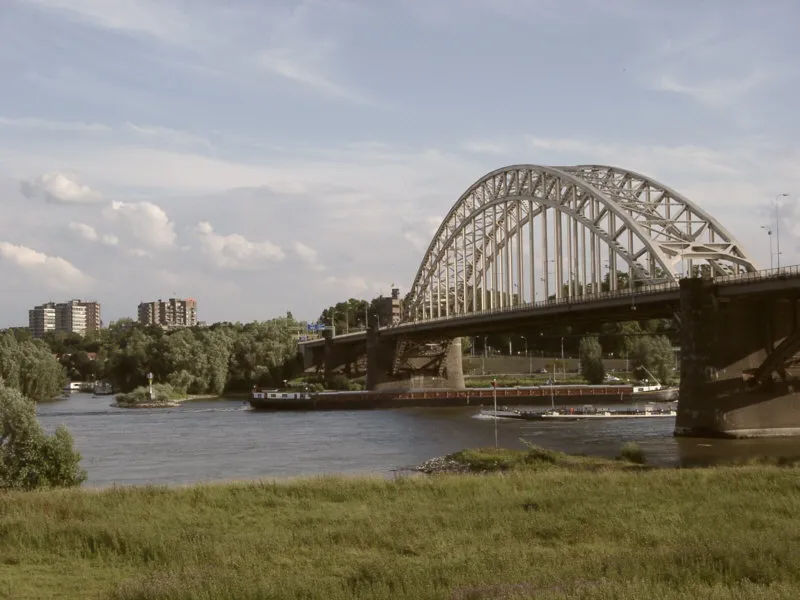 Waalbrug Landmark, Nijmegen Municipality19 km E
-
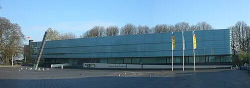 Museum Het Valkhof Museum, Nijmegen Municipality19 km E
-
Paasheuvel Mountain, Rhenen Municipality14 km N
-
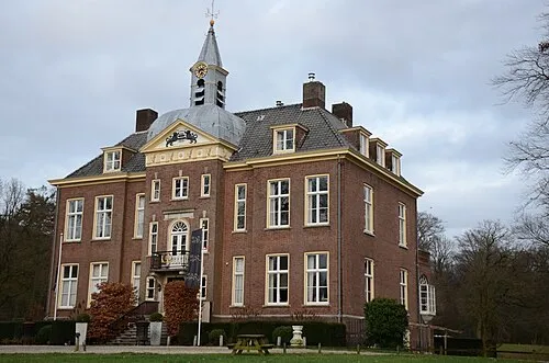 Hoekelum Historic site, Ede Municipality18 km N
-
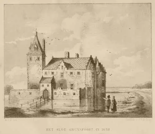 Kasteel Grunsfoort Historic site, Renkum Municipality16 km NE
-
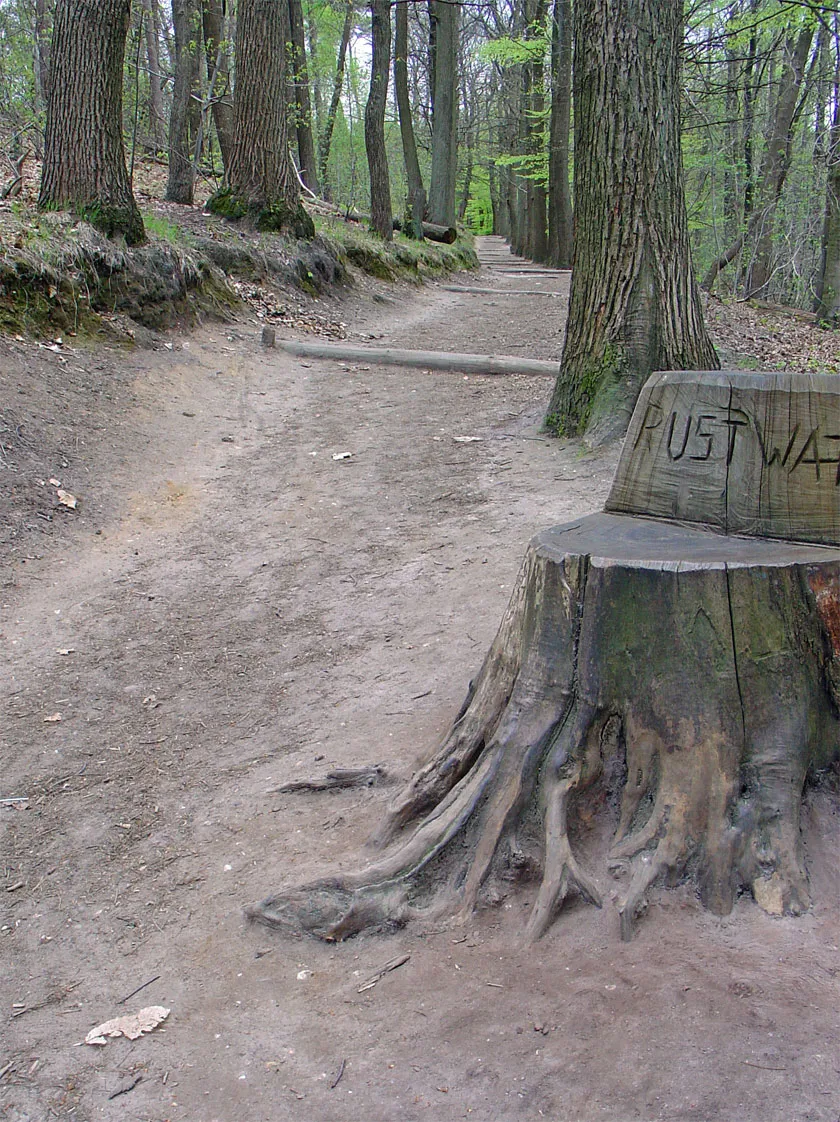 Duivelsberg Mountain, Berg en Dal Municipality24 km E
Sources & licences
Data last updated: · 2 independent sources