
- Population
- 2,985
- 3K
- Elevation
- 10 m
- above sea level
- Local time
- UTC+01:00
- Europe/Amsterdam · UTC+01:00
- Airports
- NRN Weeze (Niederrhein) Airport47 km
- EIN Eindhoven Airport58 km
About Zetten
Zetten is a village. Location: Gemeente Overbetuwe, Gelderland. Population: 2,985. Elevation: 10 m.
Zetten (Dutch pronunciation: [ˈzɛtə(n)]) is a village in the Overbetuwe municipality, Gelderland, Netherlands. The village is located in the Betuwe. This is also the base of the (forensic) youth-clinic Ottho Gerhard Heldringstichting, founded as the "Steenbeek" asylum for reforming prostitutes by Ottho Gerhard Heldring.
Source: Wikipedia · CC BY-SA 4.0
Photos of Zetten
-

Fred Mobach · CC BY-SA 4.0 -

Isaac en Nicolaes van Geelkercken · CC0 -

Henk Monster · CC BY 3.0 -

Henk Monster · CC BY 3.0 -

Michielverbeek · CC BY-SA 4.0


Climate of Zetten
Best months for sightseeingBest months for sightseeing: June–August.
This month · November
A cold month
Day 9° · Night 3° · Rain 76 mm
- Hottest month
- August (day 23°)
- Coldest month
- February (night 0°)
- Wettest month
- December (79 mm)
- Driest month
- April (47 mm)
Bars: average monthly low and high temperature. Below: precipitation. Monthly averages for 1970–2000 at about 18 km resolution, adjusted for elevation. Highlighted months are mild and relatively dry. Source: WorldClim 2.1 (CC BY 4.0).
Show values as a table
| Month | Jan | Feb | Mar | Apr | May | Jun | Jul | Aug | Sep | Oct | Nov | Dec |
|---|---|---|---|---|---|---|---|---|---|---|---|---|
| Average high (°C) | 5° | 6° | 10° | 13° | 18° | 20° | 23° | 23° | 19° | 14° | 9° | 6° |
| Average low (°C) | 0° | 0° | 2° | 4° | 8° | 11° | 12° | 12° | 10° | 6° | 3° | 1° |
| Precipitation (mm) | 71 | 51 | 68 | 47 | 61 | 75 | 69 | 59 | 73 | 70 | 76 | 79 |
How to get to Zetten
The nearest airport is Weeze (Niederrhein) Airport (NRN), 47 km to the southeast as the crow flies. The nearest large city is Nijmegen, 14 km to the southeast.
Airports
- Weeze (Niederrhein) Airport (NRN) Weeze 47 kmsoutheast
- Eindhoven Airport (EIN) Eindhoven 58 kmsouthwest
- Amsterdam Airport Schiphol (AMS) Amsterdam 78 kmnorthwest
Nearby large cities
- Nijmegen Population: 177.4K 14 kmsoutheast
- Arnhem Population: 162.4K 15 kmnortheast
- Amersfoort Population: 139.9K 34 kmnorthwest
- Apeldoorn Population: 136.7K 36 kmnortheast
- 's-Hertogenbosch Population: 160.8K 38 kmsouthwest
Straight-line distances; road distances are longer. Airport data: OurAirports.
Day trips from Zetten
Within 100 km: 220 historic and cultural sites, 328 natural sites, 246 lakes, rivers and coasts.
0–25 km41 places
- Wijlermeer Lake 20 kmSE
- Steinwässerung River 21 kmSE
- Oude Rijn River 21 kmE
- Große Wässerung River 22 kmSE
25–60 km170 places
- Putjensberg Mountain 56 kmN
- Strang Lake 33 kmE
- Schmales Meer Lake 52 kmE
- Millinger Meer Lake 49 kmE
60–100 km583 places
- IJsselmonde Island 83 kmW
- Zandbergen Natural site 90 kmSW
- Zeven-Heerlijkhedenheide Natural site 82 kmSW
- Wegmeerheide Natural site 78 kmSW
Straight-line distances.
Nearby attractions & nature
Everything nearby-
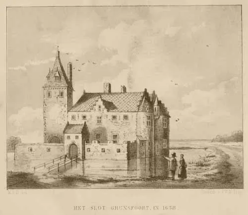 Kasteel Grunsfoort Historic site, Renkum Municipality5.3 km N
-
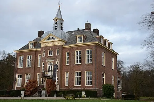 Hoekelum Historic site, Ede Municipality10 km N
-
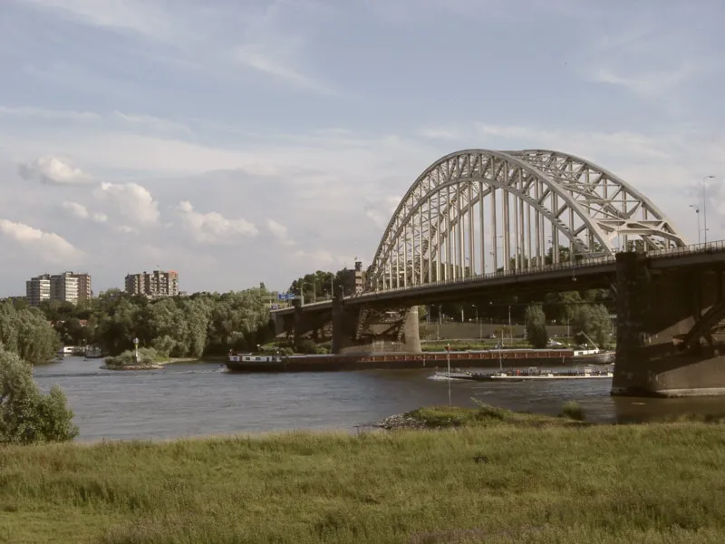 Waalbrug Landmark, Nijmegen Municipality14 km SE
-
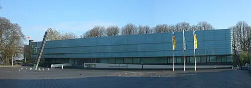 Museum Het Valkhof Museum, Nijmegen Municipality14 km SE
-
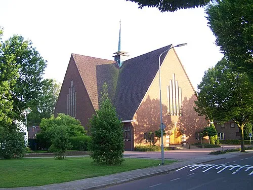 Nieuwe Kerk Attraction, Ede Municipality13 km N
-
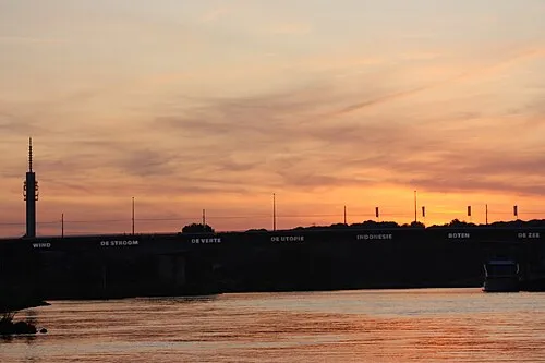 Nelson Mandelabrug Landmark, Arnhem Municipality14 km NE
Other cities and towns in Gemeente Overbetuwe
-
Valburg Village, Gemeente Overbetuwe5.6 km E
-
 Oosterhout Village, Gemeente Overbetuwe9.4 km SE
-
 Driel Village, Gemeente Overbetuwe7.7 km NE
-
 Slijk-Ewijk Village, Gemeente Overbetuwe7.1 km SE
-
Loenen Village, Gemeente Overbetuwe6.2 km SE
-
Aam Village, Gemeente Overbetuwe11 km E
Sources & licences
Data last updated: · 2 independent sources