- Population
- 3,045
- 3K
- Elevation
- 15 m
- above sea level
- Local time
- UTC+01:00
- Europe/Amsterdam · UTC+01:00
- Airports
- NRN Weeze (Niederrhein) Airport29 km
- EIN Eindhoven Airport69 km
About Lobith
Lobith is a village. Location: Gemeente Zevenaar, Gelderland. Population: 3,045. Elevation: 15 m.
Lobith is a village in the Dutch province of Gelderland. It is located in the municipality of Zevenaar. Traditionally, it is said that the Rhine enters the Netherlands at Lobith, although in reality, this happens about 4 km further upstream, near Spijk. Lobith was a separate municipality for a short while between 1 March 1817 and 1 January 1818, when it became a part of Herwen en Aerdt.
Source: Wikipedia · CC BY-SA 4.0
Climate of Lobith
Best months for sightseeingBest months for sightseeing: June–August.
This month · November
A cold month
Day 9° · Night 3° · Rain 71 mm
- Hottest month
- August (day 23°)
- Coldest month
- February (night 0°)
- Wettest month
- December (77 mm)
- Driest month
- April (45 mm)
Bars: average monthly low and high temperature. Below: precipitation. Monthly averages for 1970–2000 at about 18 km resolution, adjusted for elevation. Highlighted months are mild and relatively dry. Source: WorldClim 2.1 (CC BY 4.0).
Show values as a table
| Month | Jan | Feb | Mar | Apr | May | Jun | Jul | Aug | Sep | Oct | Nov | Dec |
|---|---|---|---|---|---|---|---|---|---|---|---|---|
| Average high (°C) | 5° | 6° | 9° | 13° | 18° | 20° | 23° | 23° | 19° | 14° | 9° | 6° |
| Average low (°C) | 0° | 0° | 2° | 4° | 8° | 11° | 13° | 12° | 10° | 6° | 3° | 1° |
| Precipitation (mm) | 69 | 48 | 66 | 45 | 58 | 70 | 68 | 57 | 70 | 67 | 71 | 77 |
How to get to Lobith
The nearest airport is Weeze (Niederrhein) Airport (NRN), 29 km to the south as the crow flies. The nearest large city is Nijmegen, 18 km to the west.
Airports
- Weeze (Niederrhein) Airport (NRN) Weeze 29 kmsouth
- Eindhoven Airport (EIN) Eindhoven 69 kmsouthwest
- Düsseldorf Airport (DUS) Düsseldorf 78 kmsoutheast
Nearby large cities
- Nijmegen Population: 177.4K 18 kmwest
- Arnhem Population: 162.4K 19 kmnorthwest
- Apeldoorn Population: 136.7K 40 kmnorth
- Venlo Population: 102K 55 kmsouth
- Moers Population: 103.5K 58 kmsoutheast
Straight-line distances; road distances are longer. Airport data: OurAirports.
Nearby attractions & nature
Everything nearby-
Alter Rhein River, North Rhine-Westphalia1.9 km SW
-
Wild River, Germany2 km NE
-
Salmorth Natural site, North Rhine-Westphalia3.4 km S
-
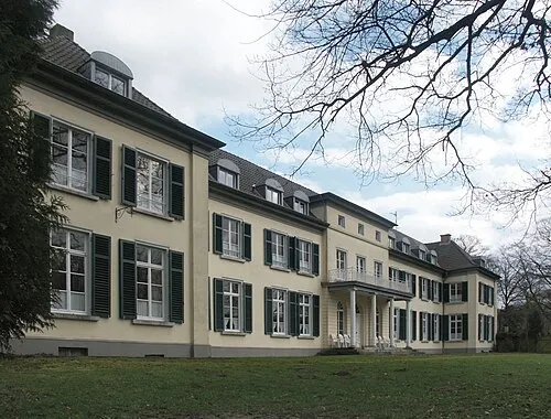 Gnadenthal Historic site, Kleve6.3 km S
-
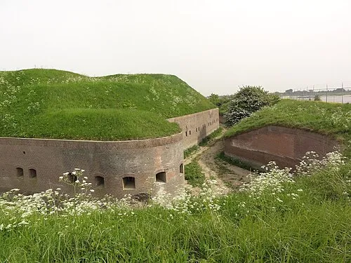 Fort Pannerden Historic site, Gemeente Lingewaard6.5 km W
-
Strang Lake, North Rhine-Westphalia4.6 km SE
Sources & licences
Data last updated: · 2 independent sources