- Population
- 11,138
- 11.1K
- Elevation
- 44 m
- above sea level
- Local time
- UTC+01:00
- Europe/Amsterdam · UTC+01:00
- Airports
- NRN Weeze (Niederrhein) Airport47 km
- EIN Eindhoven Airport68 km
About Oosterbeek
Oosterbeek is a town. Location: Renkum Municipality, Gelderland. Population: 11,138. Elevation: 44 m.
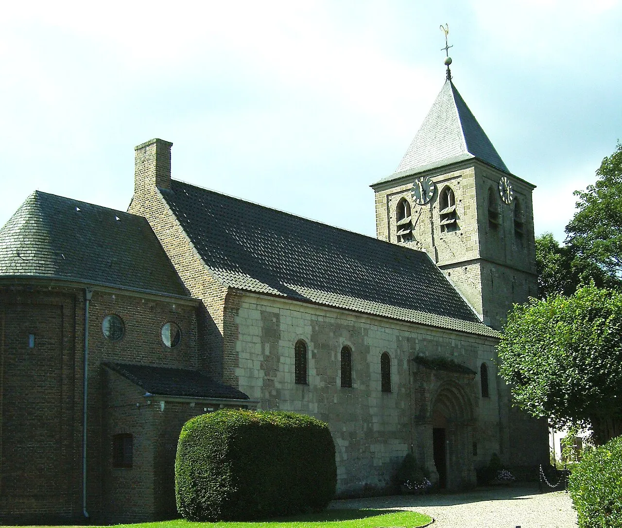
Oosterbeek (Dutch pronunciation: [ˈoːstərbeːk]) is a village in the eastern part of Netherlands. It is located in the municipality of Renkum in the province of Gelderland, about 5 km (3.1 mi) west of Arnhem. The oldest part of Oosterbeek is the Benedendorp (Lower Village), on the northern bank of the Lower Rhine. One landmark in the village is the Hervormde Kerk (Reformed Church), which has certain architectural sections that date back to the second half of the 10th century.
Source: Wikipedia · CC BY-SA 4.0
Photos of Oosterbeek
-

kevinmcgill from Den Bosch, Netherlands · CC BY-SA 2.0 -

Rijksmuseum · CC0 -

Henk Monster · CC BY 3.0 -

Henk Monster · CC BY 3.0 -

Ben Bender · CC BY-SA 3.0


Travel notes for Oosterbeek
From Wikivoyage
Oosterbeek is a town in Gelderland, the Netherlands, known best for Operation Market Garden and the Battle of Arnhem (1944). The birthplace of Dutch Impressionism, it is also home to a World War II museum and cemetery.
Understand+
Oosterbeek has been a settlement with a church since the 10th century. Parts of this original church are still found in the current-day Oude Kerk, making it one of the Netherlands' oldest churches. The church was expanded upon in the 14th century, and a cloister was built nearby.
During the 19th century, the town grew in popularity among painters, and developed itself to a painters' village. As a painters' village, Oosterbeek was often dubbed the Dutch Barbizon, after the foremost French painters' village. Many landscape painters travelled to and lived in the village during this heyday, including one of the foremost Dutch landscape painters: Hendrik Willem Mesdag, best known for the panorama carrying his name in The Hague.
During the second half of the 19th century, many affluent Dutchmen settle down in the forests around the village, with Oosterbeek becoming filled with villas. To this day, many of these villas remain standing, and make it to where over a percent of Oosterbeek's houses are appraised at over a million euros.
Most notable in forming the Oosterbeek of today was Operation Market Garden and the Battle of Arnhem (1944). Oosterbeek, which is just west of Arnhem, housed a medical post for allied troops in its church. The church took a lot of fire during this period, and was heavily damaged. Almost the entirety of lower Oosterbeek was levelled because of the fighting. Hotel Hartenstein housed the headquarters of the British 1st Airborne Division, and was largely destroyed too. Since 1980, the former hotel houses the Airborne Museum. Opposite the railway lies one of the Netherlands' largest World War II military graveyards, being the final resting grounds of many that fought for the liberation of the northern half of the Netherlands.
Get in+
By car:
The larger municipality of Renkum is divided down the middle by the A50 highway, which serves the municipality with a single exit: Renkum (19). From there, the N255 (Rijksweg) connects east towards Doorweth and Oosterbeek, and west towards Renkum. An additional exit is found on the A12 highway: Oosterbeek (25). From there, follow the N224 towards Arnhem, turning right towards Oosterbeek at the intersection with the Dreijenseweg will lead you directly to the town centre.
From Utrecht and the Western Netherlands, use the A12 in the direction of Arnhem. Use exit 25 (Oosterbeek), and follow the directions as per above.
From Oss and the Southern Netherlands at large, make your way towards the A50 highway. From Eindhoven, this connection is direct. From Venlo, follow the A73 northbound, which joins the A50 near Beuningen. There, follow directions towards Arnhem. From 's-Hertogenbosch, use the A59 eastbound, which merges into the A50 near Oss. Once on the A50 headed for Arnhem, cross the Waal and Rhine rivers, before using exit 19 (Renkum). From there, follow the instructions above.
From Apeldoorn and the Northern Netherlands, make your way to the A50 and use it to head south from Apeldoorn. Nearby Arnhem, it follows the A12 briefly, but remain following the signs for the A50 towards Nijmegen. Once departing the A12, the first exit will be the one serving Renkum and Oosterbeek.
By public transit:
Source: Wikivoyage · CC BY-SA 4.0 · abridged
Climate of Oosterbeek
Best months for sightseeingBest months for sightseeing: June–August.
This month · November
A cold month
Day 9° · Night 3° · Rain 75 mm
- Hottest month
- August (day 23°)
- Coldest month
- February (night 0°)
- Wettest month
- December (79 mm)
- Driest month
- April (47 mm)
Bars: average monthly low and high temperature. Below: precipitation. Monthly averages for 1970–2000 at about 18 km resolution, adjusted for elevation. Highlighted months are mild and relatively dry. Source: WorldClim 2.1 (CC BY 4.0).
Show values as a table
| Month | Jan | Feb | Mar | Apr | May | Jun | Jul | Aug | Sep | Oct | Nov | Dec |
|---|---|---|---|---|---|---|---|---|---|---|---|---|
| Average high (°C) | 5° | 6° | 9° | 13° | 18° | 20° | 23° | 23° | 19° | 14° | 9° | 6° |
| Average low (°C) | 0° | 0° | 2° | 4° | 8° | 11° | 12° | 12° | 10° | 6° | 3° | 1° |
| Precipitation (mm) | 72 | 50 | 68 | 47 | 59 | 73 | 68 | 58 | 72 | 70 | 75 | 79 |
How to get to Oosterbeek
The nearest airport is Weeze (Niederrhein) Airport (NRN), 47 km to the southeast as the crow flies. The nearest large city is Arnhem, 5 km to the east.
Airports
- Weeze (Niederrhein) Airport (NRN) Weeze 47 kmsoutheast
- Eindhoven Airport (EIN) Eindhoven 68 kmsouthwest
- Amsterdam Airport Schiphol (AMS) Amsterdam 82 kmnorthwest
Nearby large cities
- Arnhem Population: 162.4K 5 kmeast
- Nijmegen Population: 177.4K 16 kmsouth
- Apeldoorn Population: 136.7K 26 kmnorth
- Amersfoort Population: 139.9K 37 kmnorthwest
- 's-Hertogenbosch Population: 160.8K 49 kmsouthwest
Straight-line distances; road distances are longer. Airport data: OurAirports.
Day trips from Oosterbeek
Within 100 km: 229 historic and cultural sites, 347 natural sites, 230 lakes, rivers and coasts.
0–25 km51 places
- Wijlermeer Lake 20 kmS
- Wild River 24 kmSE
- Steinwässerung River 21 kmSE
- Oude Rijn River 14 kmSE
25–60 km173 places
- Putjensberg Mountain 47 kmN
- Strang Lake 28 kmSE
- Schmales Meer Lake 47 kmSE
- Millinger Meer Lake 43 kmSE
60–100 km582 places
- IJsselmonde Island 92 kmW
- Zeven-Heerlijkhedenheide Natural site 92 kmSW
- Wegmeerheide Natural site 89 kmSW
- Warandeheide Natural site 89 kmSW
Straight-line distances.
Nearby attractions & nature
Everything nearby-
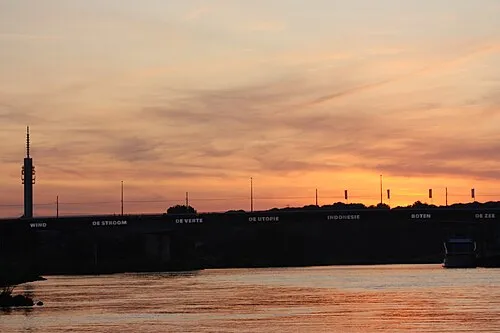 Nelson Mandelabrug Landmark, Arnhem Municipality3.8 km E
-
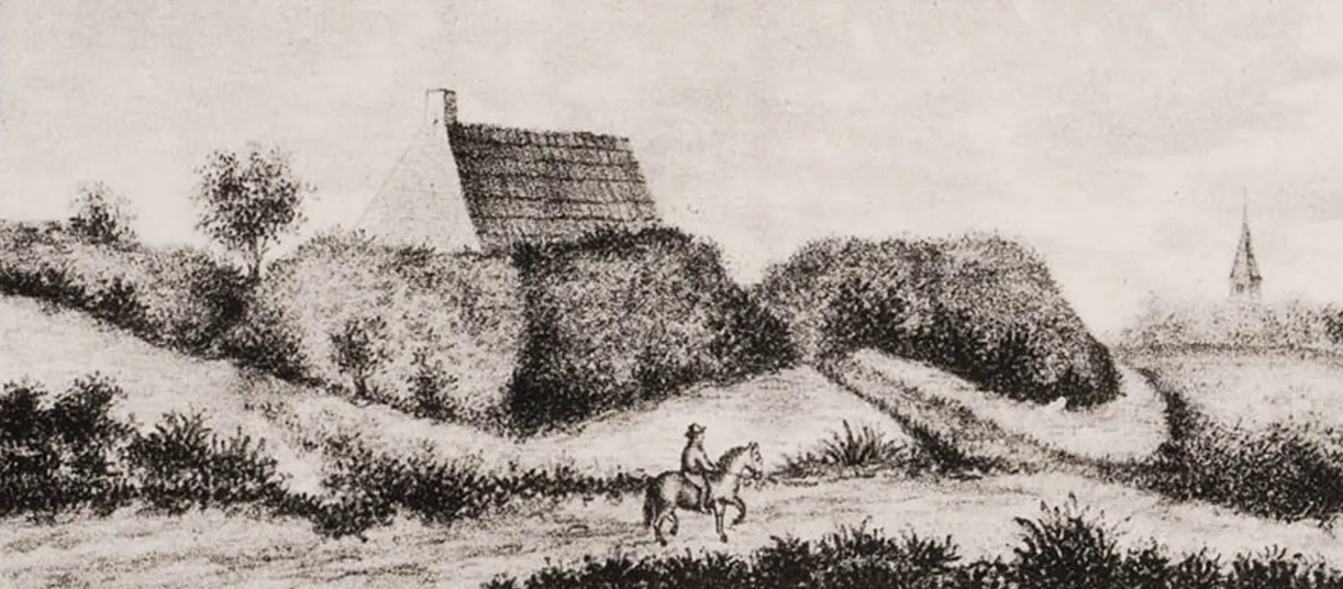 Breeberg Mountain, Rozendaal Municipality7.6 km E
-
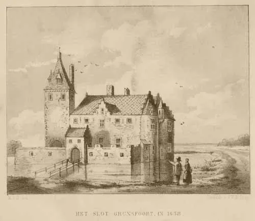 Kasteel Grunsfoort Historic site, Renkum Municipality8.7 km W
-
Tonberg Mountain, Rozendaal Municipality8.5 km NE
-
Kompagnieberg Mountain, Ede Municipality8.7 km N
-
Kluizenaarsberg Mountain, Rozendaal Municipality9.3 km E
-
Ossenberg Mountain, Rheden Municipality10 km E
-
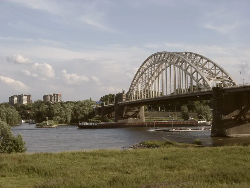 Waalbrug Landmark, Nijmegen Municipality15 km S
Sources & licences
Data last updated: · 2 independent sources