Beneden-Leeuwen
Located in West Maas en Waal Municipality, Gelderland Coordinates: 51°52′57″ N 5°30′55″ E
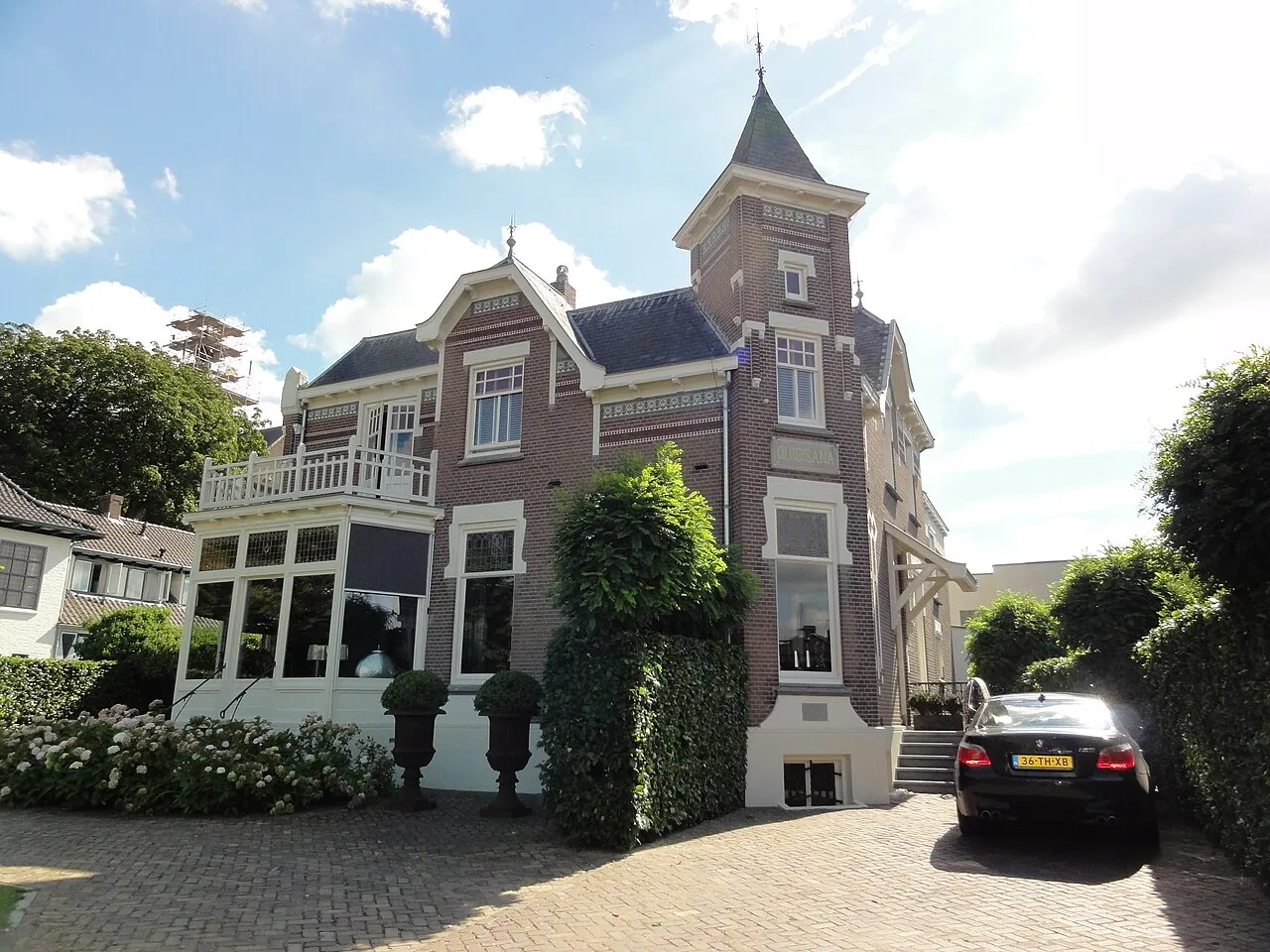
- Population
- 6,925
- 6.9K
- Elevation
- 9 m
- above sea level
- Local time
- UTC+01:00
- Europe/Amsterdam · UTC+01:00
- Airports
- EIN Eindhoven Airport49 km
- NRN Weeze (Niederrhein) Airport53 km
About Beneden-Leeuwen
Beneden-Leeuwen is a town. Location: West Maas en Waal Municipality, Gelderland. Population: 6,925. Elevation: 9 m.
Beneden-Leeuwen is a town in the Dutch province of Gelderland. It is a part of the municipality of West Maas en Waal, and lies about 7 km east of Tiel, on the opposite (southern) bank of the river Waal. Beneden-Leeuwen has 6,925 inhabitants on 1 July 2021. It is the Catholic part of the former village Leeuwen.
Source: Wikipedia · CC BY-SA 4.0
Photos of Beneden-Leeuwen
-

Jan dijkstra · CC BY-SA 4.0 -

Henk Monster · CC BY 3.0 -

Fotograaf Onbekend / Heidemij · CC0 -

Fotograaf Onbekend / Heidemij · CC0 -

Paul van Galen · CC BY-SA 4.0


Climate of Beneden-Leeuwen
Best months for sightseeingBest months for sightseeing: June–August.
This month · November
A cold month
Day 9° · Night 3° · Rain 75 mm
- Hottest month
- August (day 23°)
- Coldest month
- February (night 0°)
- Wettest month
- December (77 mm)
- Driest month
- April (45 mm)
Bars: average monthly low and high temperature. Below: precipitation. Monthly averages for 1970–2000 at about 18 km resolution, adjusted for elevation. Highlighted months are mild and relatively dry. Source: WorldClim 2.1 (CC BY 4.0).
Show values as a table
| Month | Jan | Feb | Mar | Apr | May | Jun | Jul | Aug | Sep | Oct | Nov | Dec |
|---|---|---|---|---|---|---|---|---|---|---|---|---|
| Average high (°C) | 5° | 6° | 9° | 13° | 18° | 20° | 22° | 23° | 19° | 14° | 9° | 6° |
| Average low (°C) | 0° | 0° | 2° | 4° | 8° | 10° | 12° | 12° | 10° | 6° | 3° | 1° |
| Precipitation (mm) | 70 | 51 | 68 | 45 | 61 | 75 | 69 | 58 | 73 | 69 | 75 | 77 |
How to get to Beneden-Leeuwen
The nearest airport is Eindhoven Airport (EIN), 49 km to the south as the crow flies. The nearest large city is Nijmegen, 24 km to the east.
Airports
- Eindhoven Airport (EIN) Eindhoven 49 kmsouth
- Weeze (Niederrhein) Airport (NRN) Weeze 53 kmsoutheast
- Amsterdam Airport Schiphol (AMS) Amsterdam 70 kmnorthwest
Nearby large cities
- Nijmegen Population: 177.4K 24 kmeast
- 's-Hertogenbosch Population: 160.8K 25 kmsouthwest
- Arnhem Population: 162.4K 29 kmeast
- Amersfoort Population: 139.9K 32 kmnorth
- Utrecht Population: 376.4K 36 kmnorthwest
Straight-line distances; road distances are longer. Airport data: OurAirports.
Day trips from Beneden-Leeuwen
Within 100 km: 207 historic and cultural sites, 313 natural sites, 271 lakes, rivers and coasts.
0–25 km11 places
- Paasheuvel Mountain 11 kmN
- Galgenberg Mountain 24 kmN
- Elsterberg Mountain 13 kmN
- Drieberg Mountain 22 kmNE
25–60 km171 places
- Poppelsche Leij River 50 kmSW
- Moleneindseloop River 59 kmSW
- Marelseloop River 59 kmSW
- Goorle Loop River 56 kmSW
60–100 km609 places
- IJsselmonde Island 69 kmW
- Putjensberg Mountain 66 kmNE
- Putse Moer Lake 93 kmSW
- Stappensven Lake 91 kmSW
Straight-line distances.
Nearby attractions & nature
Everything nearby-
Paasheuvel Mountain, Rhenen Municipality11 km N
-
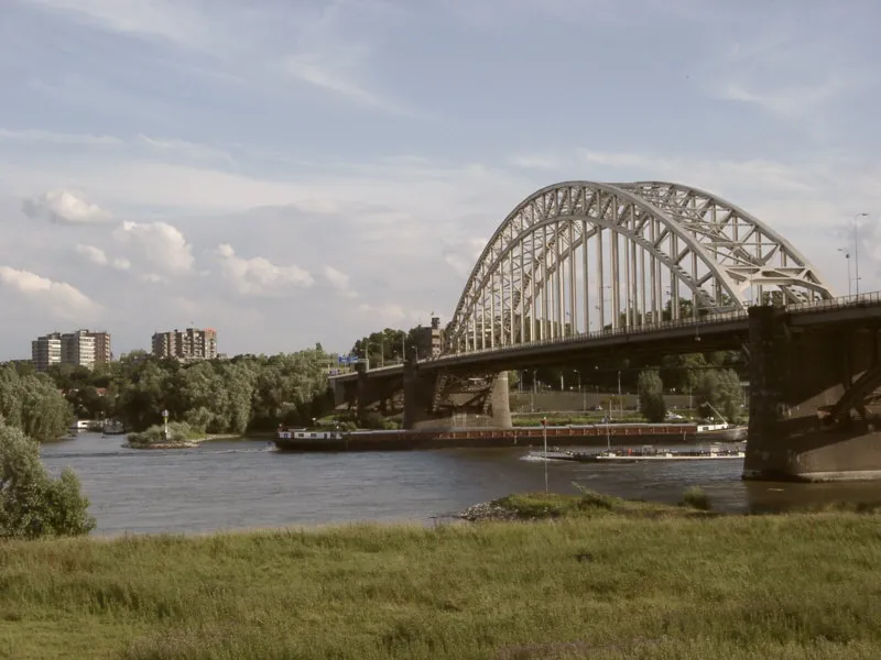 Waalbrug Landmark, Nijmegen Municipality25 km E
-
Elsterberg Mountain, Rhenen Municipality13 km N
-
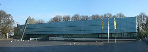 Museum Het Valkhof Museum, Nijmegen Municipality25 km E
-
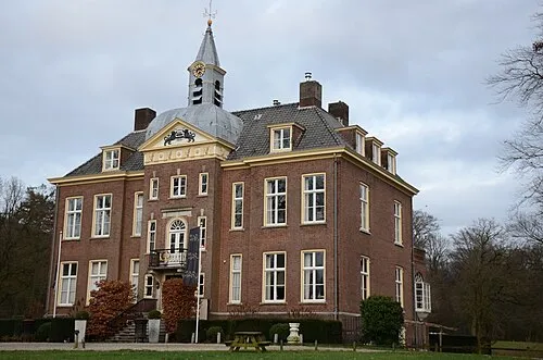 Hoekelum Historic site, Ede Municipality18 km NE
-
Amerongsche Berg Mountain, Gemeente Utrechtse Heuvelrug14 km N
-
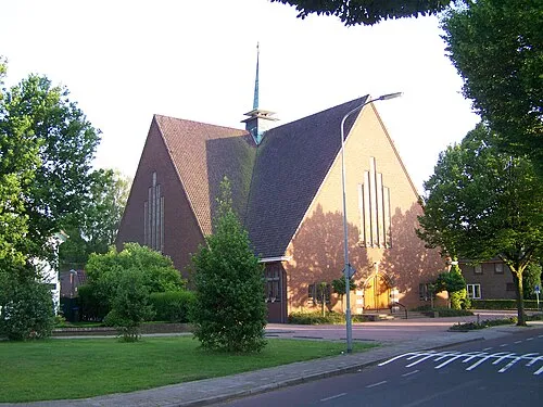 Nieuwe Kerk Attraction, Ede Municipality20 km NE
-
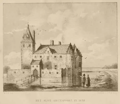 Kasteel Grunsfoort Historic site, Renkum Municipality17 km NE
Sources & licences
Data last updated: · 2 independent sources