Sint Geertruid
Located in Eijsden-Margraten Municipality, Limburg Coordinates: 50°47′48″ N 5°45′55″ E

- Population
- 935
- 935
- Elevation
- 138 m
- above sea level
- Local time
- UTC+01:00
- Europe/Amsterdam · UTC+01:00
- Airports
- MST Maastricht Aachen Airport13 km
- LGG Liège Airport29 km
About Sint Geertruid
Sint Geertruid is a village. Location: Eijsden-Margraten Municipality, Limburg. Population: 935. Elevation: 138 m.
Sint Geertruid (Limburgish: Se-Gietere) is a village in the Dutch province of Limburg. It is located the municipality of Eijsden-Margraten.
Source: Wikipedia · CC BY-SA 4.0
At a glance
- Area
- 49 ha
Source: Wikidata
Photos of Sint Geertruid
-

holadeejay for Panor… · CC BY-SA 3.0 -

holadeejay for Panor… · CC BY-SA 3.0 -

Hoebele · CC BY-SA 4.0 -

LucT · CC BY-SA 3.0 -

LucT · CC BY-SA 3.0


Climate of Sint Geertruid
Best months for sightseeingBest months for sightseeing: June–August.
This month · November
A cold month
Day 9° · Night 3° · Rain 71 mm
- Hottest month
- August (day 22°)
- Coldest month
- February (night 0°)
- Wettest month
- July (83 mm)
- Driest month
- February (55 mm)
Bars: average monthly low and high temperature. Below: precipitation. Monthly averages for 1970–2000 at about 18 km resolution, adjusted for elevation. Highlighted months are mild and relatively dry. Source: WorldClim 2.1 (CC BY 4.0).
Show values as a table
| Month | Jan | Feb | Mar | Apr | May | Jun | Jul | Aug | Sep | Oct | Nov | Dec |
|---|---|---|---|---|---|---|---|---|---|---|---|---|
| Average high (°C) | 5° | 6° | 9° | 13° | 18° | 20° | 22° | 22° | 19° | 14° | 9° | 6° |
| Average low (°C) | 0° | 0° | 2° | 4° | 8° | 11° | 13° | 13° | 10° | 7° | 3° | 1° |
| Precipitation (mm) | 62 | 55 | 65 | 56 | 68 | 80 | 83 | 71 | 70 | 65 | 71 | 73 |
How to get to Sint Geertruid
The nearest airport is Maastricht Aachen Airport (MST), 13 km to the north as the crow flies. The nearest large city is Maastricht, 8 km to the northwest.
Airports
- Maastricht Aachen Airport (MST) Maastricht 13 kmnorth
- Liège Airport (LGG) Grâce-Hollogne 29 kmsouthwest
- Eindhoven Airport (EIN) Eindhoven 78 kmnorth
Nearby large cities
- Maastricht Population: 122.4K 8 kmnorthwest
- Aachen Population: 265.2K 23 kmeast
- Liège Population: 195.3K 23 kmsouthwest
- Mönchengladbach Population: 261.7K 64 kmnortheast
- Venlo Population: 102K 70 kmnortheast
Straight-line distances; road distances are longer. Airport data: OurAirports.
Day trips from Sint Geertruid
Within 100 km: 428 historic and cultural sites, 1,835 natural sites, 921 lakes, rivers and coasts.
0–25 km129 places
- Île Monsin Island 18 kmSW
- Île de Franche Garenne Island 12 kmSW
- Vrouwenbos Natural site 9 kmSE
- Veursbos Natural site 9 kmSE
25–60 km864 places
- Île du Moulin Island 28 kmSW
- Lac de la Gileppe Lake 28 kmSE
- Lac d'Eupen Lake 31 kmSE
- Lac de Robertville Lake 46 kmSE
60–100 km2,191 places
- Île d'Androssart Island 95 kmSW
- Hofstademeer Lake 91 kmW
- Grand Étang de Fosse Lake 90 kmSW
- Lac de Nisramont Lake 73 kmS
Straight-line distances.
Nearby attractions & nature
Everything nearby-
Hoogbos Natural site, Liège Province3.3 km S
-
 Saint Peter Fort Historic site, Maastricht Municipality7.2 km NW
-
Noorbeek River, Belgium5.2 km S
-
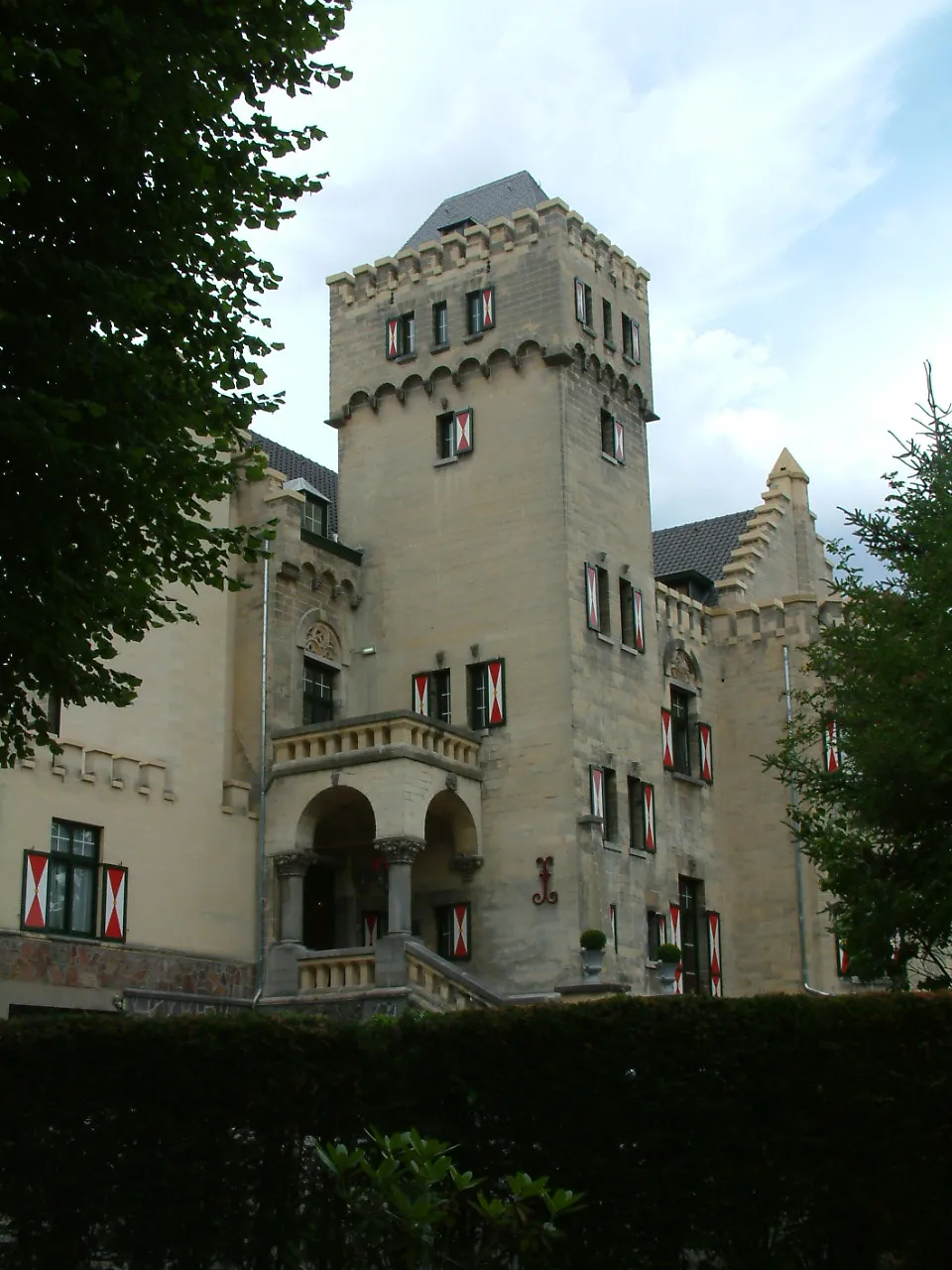 Kasteel Geulzicht Historic site, Valkenburg aan de Geul8 km N
-
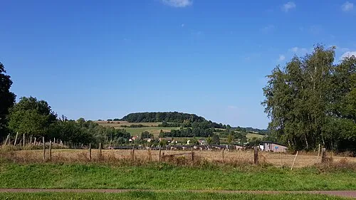 Sousberg Mountain, Valkenburg aan de Geul9.2 km NE
-
Veurs River, Liège Province6.3 km SE
Other cities and towns in Eijsden-Margraten Municipality
-
 Margraten Village, Eijsden-Margraten Municipality4.7 km NE
-
 Banholt Village, Eijsden-Margraten Municipality3.1 km E
-
 Honthem Village, Eijsden-Margraten Municipality3.1 km NE
-
 Noorbeek Village, Eijsden-Margraten Municipality4.5 km SE
-
Bruisterbosch Village, Eijsden-Margraten Municipality2.8 km E
-
Oost Village, Eijsden-Margraten Municipality3.9 km W
Sources & licences
Data last updated: · 2 independent sources