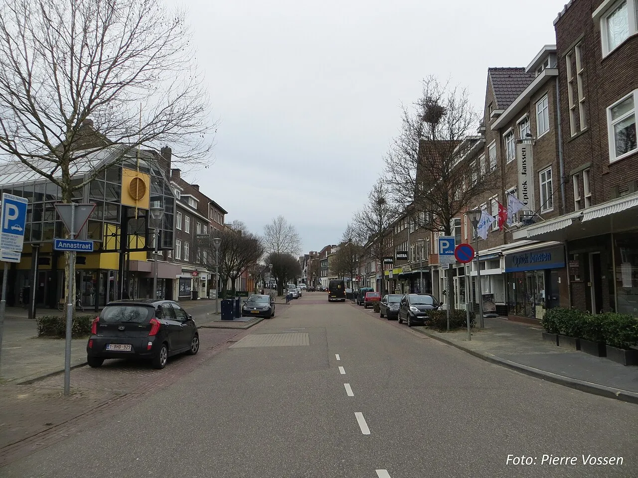
- Population
- 32,790
- 32.8K
- Elevation
- 66 m
- above sea level
- Local time
- UTC+01:00
- Europe/Amsterdam · UTC+01:00
- Airports
- MST Maastricht Aachen Airport8 km
- LGG Liège Airport46 km
About Geleen
Geleen is a town. Location: Gemeente Sittard-Geleen, Limburg. Population: 32,790. Elevation: 66 m.
Geleen (Dutch pronunciation: [ɣəˈleːn]; Limburgish: Gelaen [ɣəˈlɛːn]) is a city in the southern part of the province of Limburg in the Netherlands. With 31,670 inhabitants in 2020, it is part of the municipality of Sittard-Geleen. Geleen is situated along the river Geleenbeek, a right tributary to the river Meuse. The Latin name for Geleenbeek is Glana, meaning "clear river". The town centre is situated at about 60 m above sea level.
Source: Wikipedia · CC BY-SA 4.0
Photos of Geleen
-

Joseph de Ferraris · Public domain -

J.J. Cremers · CC0 -

Rijksmuseum · CC0 -

Henk Monster · CC BY 3.0 -

NearEMPTiness · CC BY-SA 4.0


Travel notes for Geleen
From Wikivoyage
Geleen is a city in Limburg. It's one of the major towns in the region, but of limited interest to average travellers as it's mostly an industrial city.
Understand+
Geleen is a city in the southern part of the province of Limburg in the Netherlands. With over 30,000 inhabitants, it is part of the municipality of Sittard-Geleen. Until the end of the 19th century, Geleen was a small village. The remains of one of the oldest prehistoric farms in the Netherlands were found here. In the 20th century the exploitation of coal mines in this area brought a fast population increase. During the 1960s and 1970s all Dutch coalmines, that were all located in this part of this province, were closed. The State mining company DSM (privatised in 1989) however remained active in Geleen, now purely as a chemicals producer.
VVV tourist information point, Raadhuisstraat 15, ☏ +31 900 5559798.
Get in+
Geleen is located near two highways, the A2 and the A76, which makes the city easily accessible by car.
The city is served by two train stations, served by regional trains. Station Geleen-Oost has direct trains to Heerlen (18min) and Sittard (7min) while station Geleen Lutterade has connections to Maastricht (17min) and Sittard.
Buses in the region are operated by Veolia, and connect Geleen to nearby Sittard and other destinations. Lines 11, 12, 15, 16 all connect to Sittard, while line 42 connects to Hoensbroek, 59 to Maastricht and 49 to Gulpen.
Maastricht-Aachen airport is located 8 km south east of Geleen. Take the E14 and then E25, or bus 59 (45 min.)
Source: Wikivoyage · CC BY-SA 4.0 · abridged
Population of Geleen over time
| 1879 | 2,265 | |
|---|---|---|
| 1889 | 2,384 | |
| 1899 | 2,545 | |
| 1909 | 2,901 | |
| 1920 | 4,478 | |
| 1930 | 12,411 | |
| 1947 | 19,053 | |
| 1960 | 31,615 | |
| 1971 | 36,958 | |
| 1980 | 35,512 | |
| 1990 | 33,827 | |
| 2000 | 33,947 |
Censuses and official estimates; source: Wikidata.
Climate of Geleen
Best months for sightseeingBest months for sightseeing: June–August.
This month · November
A cold month
Day 9° · Night 3° · Rain 66 mm
- Hottest month
- August (day 23°)
- Coldest month
- February (night 0°)
- Wettest month
- June (76 mm)
- Driest month
- April (48 mm)
Bars: average monthly low and high temperature. Below: precipitation. Monthly averages for 1970–2000 at about 18 km resolution, adjusted for elevation. Highlighted months are mild and relatively dry. Source: WorldClim 2.1 (CC BY 4.0).
Show values as a table
| Month | Jan | Feb | Mar | Apr | May | Jun | Jul | Aug | Sep | Oct | Nov | Dec |
|---|---|---|---|---|---|---|---|---|---|---|---|---|
| Average high (°C) | 5° | 6° | 10° | 13° | 18° | 21° | 23° | 23° | 19° | 14° | 9° | 6° |
| Average low (°C) | 0° | 0° | 2° | 4° | 8° | 11° | 13° | 13° | 10° | 7° | 3° | 2° |
| Precipitation (mm) | 59 | 51 | 61 | 48 | 64 | 76 | 72 | 63 | 63 | 62 | 66 | 69 |
How to get to Geleen
The nearest airport is Maastricht Aachen Airport (MST), 8 km to the southwest as the crow flies. The nearest large city is Maastricht, 17 km to the southwest.
Airports
- Maastricht Aachen Airport (MST) Maastricht 8 kmsouthwest
- Liège Airport (LGG) Grâce-Hollogne 46 kmsouthwest
- Eindhoven Airport (EIN) Eindhoven 62 kmnorthwest
Nearby large cities
- Maastricht Population: 122.4K 17 kmsouthwest
- Aachen Population: 265.2K 28 kmsoutheast
- Liège Population: 195.3K 42 kmsouthwest
- Mönchengladbach Population: 261.7K 49 kmnortheast
- Venlo Population: 102K 50 kmnortheast
Straight-line distances; road distances are longer. Airport data: OurAirports.
Day trips from Geleen
Within 100 km: 447 historic and cultural sites, 1,483 natural sites, 895 lakes, rivers and coasts.
0–25 km74 places
- Stokkemderbos Natural site 10 kmNW
- Stelebos Natural site 20 kmW
- Solter Heide Natural site 19 kmNW
- Sillebos Natural site 22 kmW
25–60 km717 places
- Île du Moulin Island 48 kmS
- Île Monsin Island 38 kmS
- Île de Franche Garenne Island 32 kmS
- Lac de la Gileppe Lake 45 kmS
60–100 km2,034 places
- Hofstademeer Lake 93 kmW
- Lac de Nisramont Lake 93 kmS
- Vijvers van Bellefroid Lake 80 kmW
- Lac de Robertville Lake 62 kmS
Straight-line distances.
Nearby attractions & nature
Everything nearby-
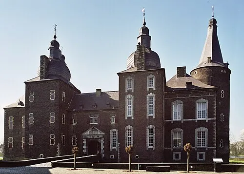 Kasteel Hoensbroek Historic site, Gemeente Heerlen8.9 km SE
-
Saeffeler-beek River, Germany7.1 km N
-
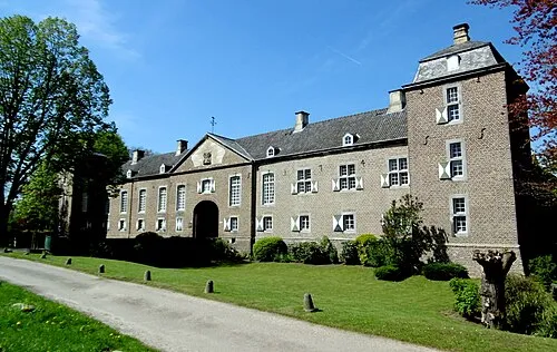 Kasteel Haeren Historic site, Gemeente Voerendaal12 km SE
-
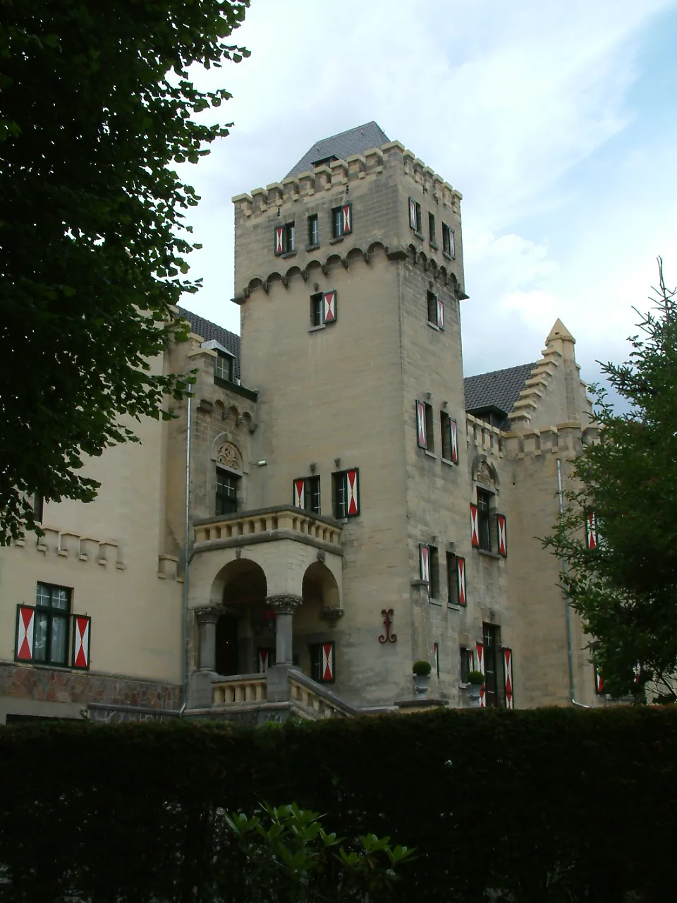 Kasteel Geulzicht Historic site, Valkenburg aan de Geul12 km S
-
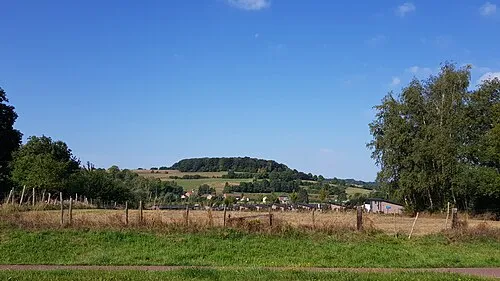 Sousberg Mountain, Valkenburg aan de Geul14 km S
-
Stokkemderbos Natural site, Limburg Province10 km NW
-
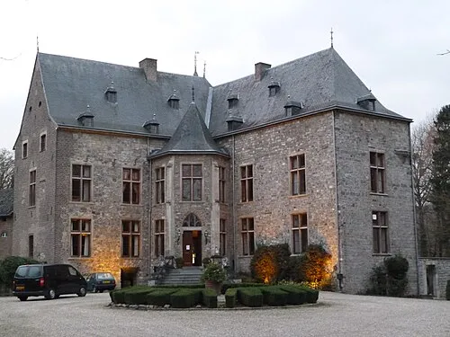 Kasteel Wittem Historic site, Gulpen-Wittem19 km S
-
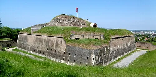 Saint Peter Fort Historic site, Maastricht Municipality18 km SW
Sources & licences
Data last updated: · 2 independent sources