- Population
- 16,642
- 16.6K
- Elevation
- 14 m
- above sea level
- Local time
- UTC+01:00
- Europe/Amsterdam · UTC+01:00
- Airports
- NRN Weeze (Niederrhein) Airport16 km
- EIN Eindhoven Airport50 km
About Gennep
Gennep is a town. Location: Gennep Municipality, Limburg. Population: 16,642. Elevation: 14 m. The best months to visit are June–August. The nearest airport is Weeze (Niederrhein) Airport (16 km). Nearby sights include Sint Jansberg and Kendel.
Climate of Gennep
Best months for sightseeingBest months for sightseeing: June–August.
This month · November
A cold month
Day 9° · Night 3° · Rain 70 mm
- Hottest month
- August (day 23°)
- Coldest month
- February (night 0°)
- Wettest month
- December (73 mm)
- Driest month
- April (45 mm)
Bars: average monthly low and high temperature. Below: precipitation. Monthly averages for 1970–2000 at about 18 km resolution, adjusted for elevation. Highlighted months are mild and relatively dry. Source: WorldClim 2.1 (CC BY 4.0).
Show values as a table
| Month | Jan | Feb | Mar | Apr | May | Jun | Jul | Aug | Sep | Oct | Nov | Dec |
|---|---|---|---|---|---|---|---|---|---|---|---|---|
| Average high (°C) | 5° | 6° | 10° | 13° | 18° | 20° | 23° | 23° | 19° | 14° | 9° | 6° |
| Average low (°C) | 0° | 0° | 2° | 4° | 8° | 11° | 13° | 12° | 10° | 7° | 3° | 1° |
| Precipitation (mm) | 66 | 48 | 66 | 45 | 60 | 72 | 66 | 57 | 70 | 65 | 70 | 73 |
How to get to Gennep
The nearest airport is Weeze (Niederrhein) Airport (NRN), 16 km to the southeast as the crow flies. The nearest large city is Nijmegen, 18 km to the northwest.
Airports
- Weeze (Niederrhein) Airport (NRN) Weeze 16 kmsoutheast
- Eindhoven Airport (EIN) Eindhoven 50 kmsouthwest
- Düsseldorf Airport (DUS) Düsseldorf 71 kmsoutheast
Nearby large cities
- Nijmegen Population: 177.4K 18 kmnorthwest
- Arnhem Population: 162.4K 32 kmnorth
- Venlo Population: 102K 39 kmsouth
- Eindhoven Population: 235.7K 45 kmsouthwest
- 's-Hertogenbosch Population: 160.8K 46 kmwest
Straight-line distances; road distances are longer. Airport data: OurAirports.
Nearby attractions & nature
Everything nearby-
Sint Jansberg Mountain, Mook en Middelaar Municipality5.9 km NW
-
Kendel River, Germany4.5 km E
-
Kiekberg Mountain, Mook en Middelaar Municipality6.8 km NW
-
Geldenberg Mountain, Kleve8 km NE
-
Forst Reichswald Natural site, North Rhine-Westphalia7.3 km NE
-
Wolfsberg Mountain, Berg en Dal Municipality9.1 km NW
-
Hooge Hoenderberg Mountain, Berg en Dal Municipality10 km NW
-
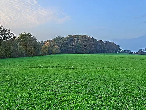 Hingstberg Mountain, Kranenburg11 km NE
Sources & licences
Data last updated: · 2 independent sources