- Elevation
- 181 m
- above sea level
- Local time
- UTC+01:00
- Europe/Amsterdam · UTC+01:00
- Airports
- MST Maastricht Aachen Airport15 km
- LGG Liège Airport35 km
About Crapoel
Crapoel is a village. Location: Gulpen-Wittem, Limburg. Elevation: 181 m. The best months to visit are June–August. The nearest airport is Maastricht Aachen Airport (15 km). Nearby sights include Kasteel Wittem and Gulp.
Climate of Crapoel
Best months for sightseeingBest months for sightseeing: June–August.
This month · November
A cold month
Day 9° · Night 3° · Rain 76 mm
- Hottest month
- August (day 22°)
- Coldest month
- February (night 0°)
- Wettest month
- July (85 mm)
- Driest month
- April (61 mm)
Bars: average monthly low and high temperature. Below: precipitation. Monthly averages for 1970–2000 at about 18 km resolution, adjusted for elevation. Highlighted months are mild and relatively dry. Source: WorldClim 2.1 (CC BY 4.0).
Show values as a table
| Month | Jan | Feb | Mar | Apr | May | Jun | Jul | Aug | Sep | Oct | Nov | Dec |
|---|---|---|---|---|---|---|---|---|---|---|---|---|
| Average high (°C) | 5° | 5° | 9° | 12° | 17° | 20° | 22° | 22° | 18° | 14° | 9° | 6° |
| Average low (°C) | 0° | 0° | 2° | 4° | 8° | 11° | 13° | 13° | 10° | 7° | 3° | 1° |
| Precipitation (mm) | 72 | 64 | 74 | 61 | 71 | 84 | 85 | 73 | 75 | 70 | 76 | 83 |
How to get to Crapoel
The nearest airport is Maastricht Aachen Airport (MST), 15 km to the northwest as the crow flies. The nearest large city is Aachen, 15 km to the east.
Airports
- Maastricht Aachen Airport (MST) Maastricht 15 kmnorthwest
- Liège Airport (LGG) Grâce-Hollogne 35 kmsouthwest
- Eindhoven Airport (EIN) Eindhoven 81 kmnorthwest
Nearby large cities
- Aachen Population: 265.2K 15 kmeast
- Maastricht Population: 122.4K 15 kmnorthwest
- Liège Population: 195.3K 28 kmsouthwest
- Mönchengladbach Population: 261.7K 59 kmnortheast
- Venlo Population: 102K 67 kmnorth
Straight-line distances; road distances are longer. Airport data: OurAirports.
Nearby attractions & nature
Everything nearby-
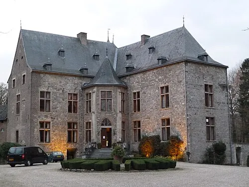 Kasteel Wittem Historic site, Gulpen-Wittem3.1 km NE
-
Gulp River, Belgium2.9 km NE
-
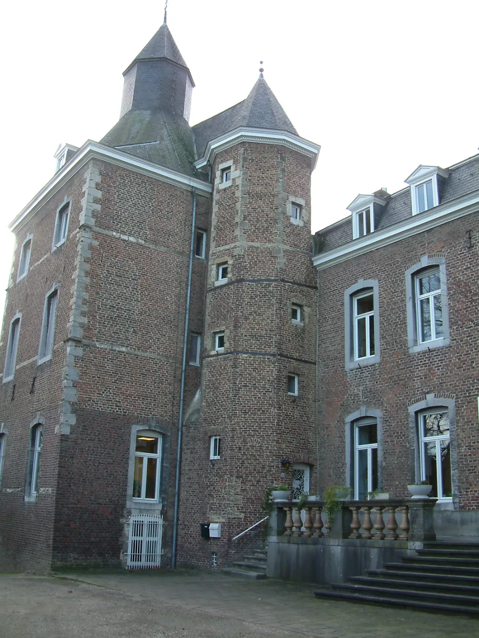 Kasteel Nijswiller Historic site, Gulpen-Wittem5.9 km E
-
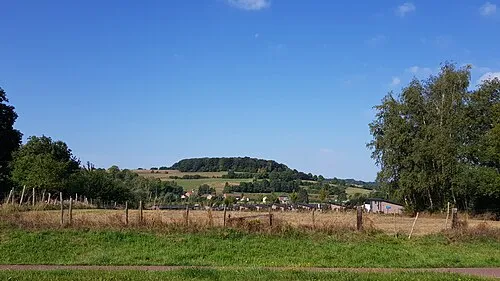 Sousberg Mountain, Valkenburg aan de Geul5.9 km N
-
Rodebos Natural site, Liège Province6.8 km S
-
Veursbos Natural site, Liège Province7.1 km S
Sources & licences
Data last updated: · 2 independent sources