Peel en Maas Municipality
Located in Limburg, The Netherlands Coordinates: 51°19′25″ N 5°58′21″ E
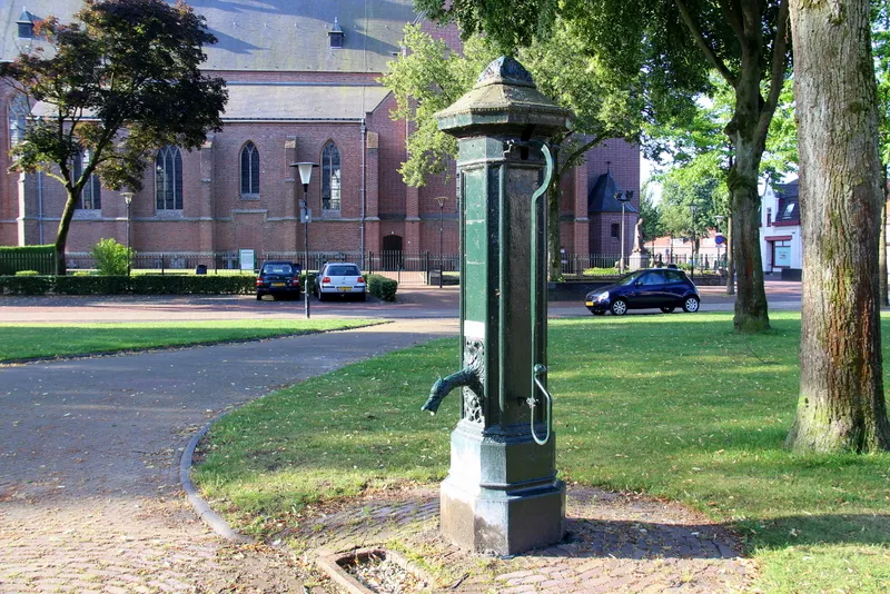
- Population
- 43,660
- 43.7K
- Elevation
- 35 m
- above sea level
- Local time
- UTC+01:00
- Europe/Amsterdam · UTC+01:00
- Places inside
- 17
- listed under Peel en Maas Municipality
- Airports
- NRN Weeze (Niederrhein) Airport33 km
- EIN Eindhoven Airport44 km
About Peel en Maas Municipality
Peel en Maas Municipality is a district. Location: Limburg, The Netherlands. Population: 43,660. The best months to visit are June–August. The nearest airport is Weeze (Niederrhein) Airport (33 km). Nearby sights include Schwalm and Schloß Krickenbeck.
Climate of Peel en Maas Municipality
Best months for sightseeingBest months for sightseeing: June–August.
This month · November
A cold month
Day 9° · Night 3° · Rain 65 mm
- Hottest month
- July (day 23°)
- Coldest month
- February (night 0°)
- Wettest month
- June (73 mm)
- Driest month
- April (44 mm)
Bars: average monthly low and high temperature. Below: precipitation. Monthly averages for 1970–2000 at about 18 km resolution, adjusted for elevation. Highlighted months are mild and relatively dry. Source: WorldClim 2.1 (CC BY 4.0).
Show values as a table
| Month | Jan | Feb | Mar | Apr | May | Jun | Jul | Aug | Sep | Oct | Nov | Dec |
|---|---|---|---|---|---|---|---|---|---|---|---|---|
| Average high (°C) | 5° | 6° | 10° | 13° | 19° | 21° | 23° | 23° | 19° | 14° | 9° | 7° |
| Average low (°C) | 0° | 0° | 2° | 4° | 8° | 11° | 13° | 12° | 10° | 7° | 3° | 1° |
| Precipitation (mm) | 62 | 48 | 63 | 44 | 63 | 73 | 66 | 57 | 62 | 60 | 65 | 69 |
How to get to Peel en Maas Municipality
The nearest airport is Weeze (Niederrhein) Airport (NRN), 33 km to the north as the crow flies. The nearest large city is Venlo, 15 km to the east.
Airports
- Weeze (Niederrhein) Airport (NRN) Weeze 33 kmnorth
- Eindhoven Airport (EIN) Eindhoven 44 kmwest
- Maastricht Aachen Airport (MST) Maastricht 48 kmsouth
Nearby large cities
- Venlo Population: 102K 15 kmeast
- Mönchengladbach Population: 261.7K 36 kmsoutheast
- Eindhoven Population: 235.7K 37 kmwest
- Krefeld Population: 238K 41 kmeast
- Moers Population: 103.5K 48 kmeast
Straight-line distances; road distances are longer. Airport data: OurAirports.
Day trips from Peel en Maas Municipality
Within 100 km: 364 historic and cultural sites, 805 natural sites, 677 lakes, rivers and coasts.
0–25 km41 places
- Itterbeek River 19 kmSW
- Witbeek River 21 kmSW
- Grote Renne River 23 kmSW
- Kasteel Arcen Historic site 22 kmNE
25–60 km470 places
- Schemersberg Mountain 53 kmSW
- Zeven-Heerlijkhedenheide Natural site 54 kmW
- Warandeheide Natural site 53 kmW
- Verkallenbos Natural site 55 kmW
60–100 km1,335 places
- Île du Moulin Island 88 kmS
- Île Monsin Island 78 kmS
- Île de Franche Garenne Island 72 kmS
- Lac de la Gileppe Lake 82 kmS
Straight-line distances.
Places in Peel en Maas Municipality
17 placesPanningen
Population: 6.7K
-
Helden
Population: 5.5K
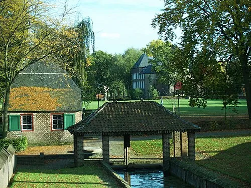
Baarlo
Population: 5.2K
Meijel
Population: 5.2K
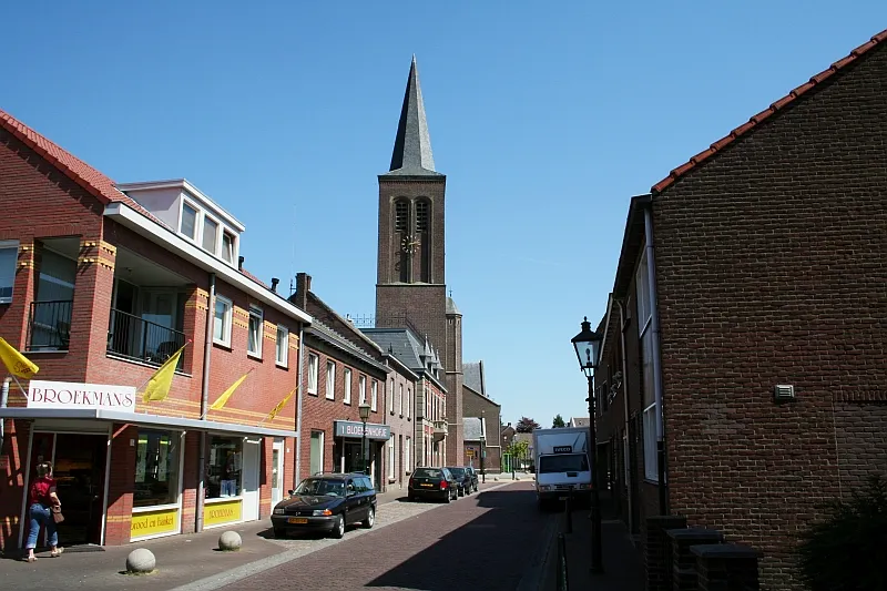
Maasbree
Population: 5K
Kessel
Population: 3K
- 7 Beringe 1.9K
- 8 Grashoek 1.4K
- 9 Koningslust 1.3K
- 10 Egchel 1.1K
- 11 Kesseleik 715
- 12 Bong 620
- 13 Groeze 200
- 14 Vliegert 195
- 15 Keup 140
- 16 Soeterbeek 135
- 17 Nederweerterdijk 115
Bar: population relative to the most populous place in this list.
Nearby attractions & nature
Everything nearby-
Schwalm River, Germany8.7 km S
-
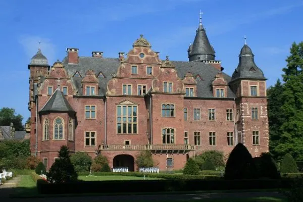 Schloß Krickenbeck Historic site, Nettetal20 km E
-
Dassen Berg Mountain, North Rhine-Westphalia11 km SE
-
Galgenberg Mountain, Niederkrüchten14 km SE
-
Vogelsberg Mountain, Niederkrüchten15 km SE
-
Venlo Concentration Camp Historic site, Venlo Municipality15 km E
Sources & licences
Data last updated: