Hank
Located in Altena, North Brabant Coordinates: 51°44′06″ N 4°53′50″ E
- Population
- 4,323
- 4.3K
- Elevation
- 1 m
- above sea level
- Local time
- UTC+01:00
- Europe/Amsterdam · UTC+01:00
About Hank
Hank is a village. Location: Altena, North Brabant. Population: 4,323. Elevation: 1 m.
Hank is a village in the Dutch province of North Brabant. It is a part of the municipality of Altena, and lies about 10 km (6 mi) north of Oosterhout. Hanks borders on De Biesbosch National Park. It was first mentioned in 1851 as De Hank, and means "place where fishers dry their nets". The area was poldered in 1188 and a little village called Heeraartswaarde and church were built. However the settlement was destroyed in the St. Elizabeth's flood of 1421.
Read more on Wikipedia Text: Wikipedia contributors · CC BY-SA 4.0 · shortened
In comparison
- No. 5 of 22 places in Altena by population
- Nearest larger town: Raamsdonksveer, 5 km S
Nearby attractions & nature
Everything nearby-
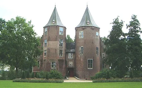 Kasteel Dussen Historic site, Altena5 km E
-
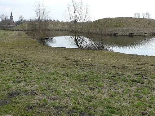 Kleine Schans Historic site, Drimmelen Municipality15 km SW
-
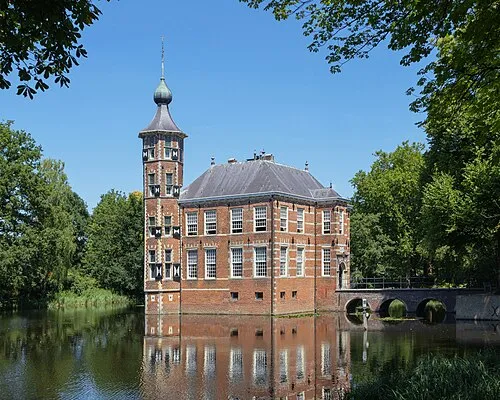 Kasteel Bouvigne Historic site, Breda Municipality21 km S
-
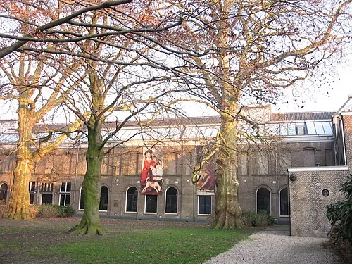 Dordrechts Museum Museum, Dordrecht Municipality18 km NW
-
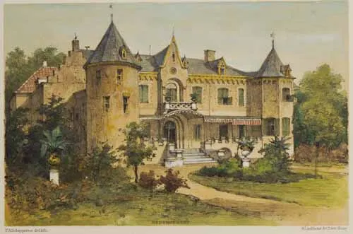 Kasteel Nederhemert Historic site, Gemeente Zaltbommel18 km E
-
Aa River, The Netherlands22 km SW
Sources & licences
Data last updated: · 2 independent sources