Kasteel Bouvigne
Located in Breda Municipality, North Brabant Coordinates: 51°33′45″ N 4°47′00″ E
- Local time
- UTC+01:00
- Europe/Amsterdam · UTC+01:00
- Elevation
- 4 m
- above sea level
- Airports
- EIN Eindhoven Airport43 km
- ANR Antwerp International Airport (Deurne)47 km
About Kasteel Bouvigne
Kasteel Bouvigne is a historic site. Location: Breda Municipality, North Brabant.
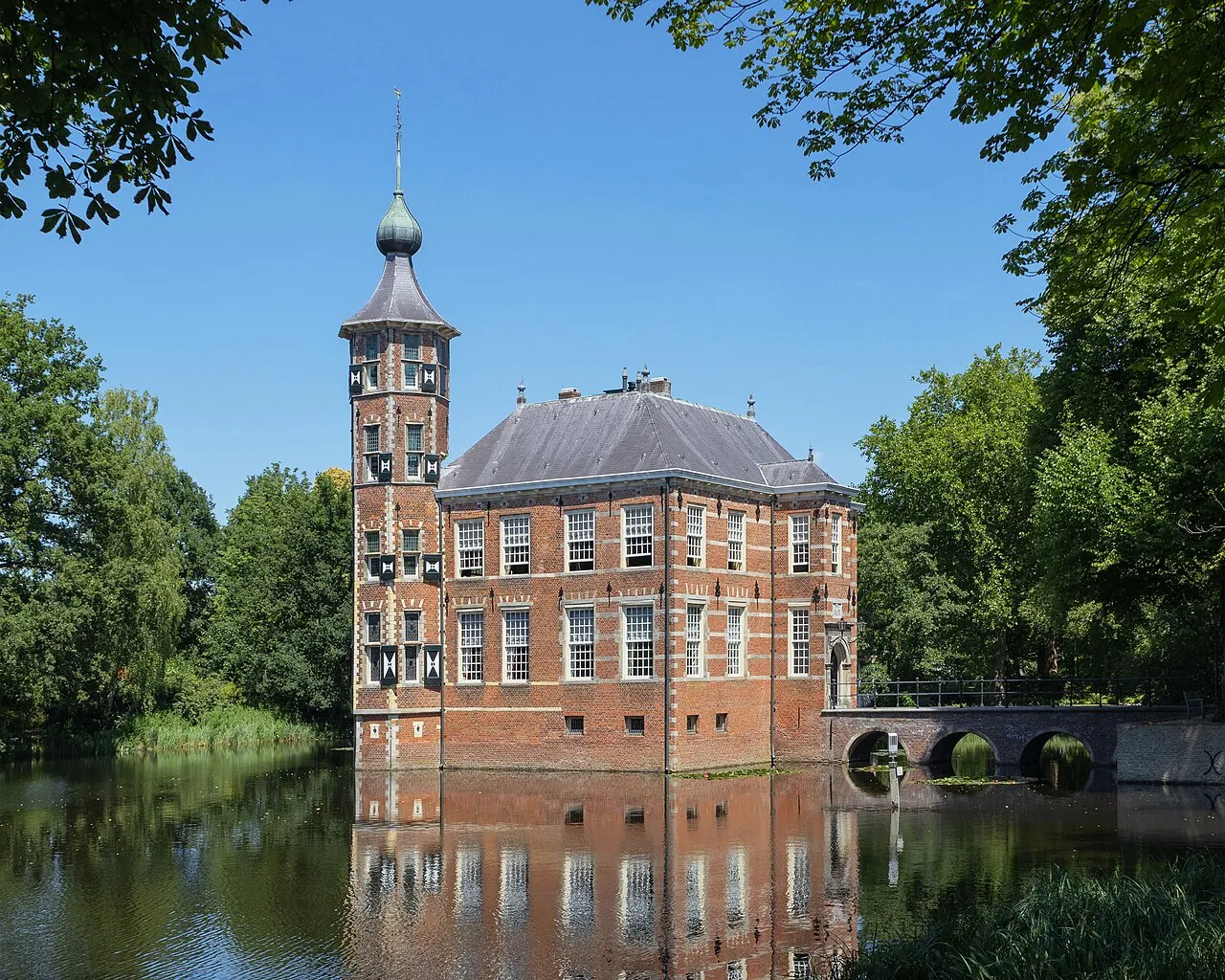
Bouvigne Castle is a castle outside the Ginneken district in the Dutch province of North Brabant, near the Mastbos south of Breda. Behind it lies the Markdal. It has been owned by the Brabantse Delta Water Board since 1972. After restoration between 1975 and 1977, it was reopened by Prince Claus on 13 September 1977.
Source: Wikipedia · CC BY-SA 4.0
At a glance
- Heritage designation
- Rijksmonument
Source: Wikidata
Photos of Kasteel Bouvigne
-

MPhernambucq · CC BY-SA 3.0 -

Meijsing, C.N.J · CC BY-SA 4.0 -

Cornelis Johannes Steenbergh · CC BY-SA 4.0 -

Besouw, J. van · CC BY-SA 4.0 -

Unknown author Unknown author · CC BY-SA 4.0


Climate of Kasteel Bouvigne
Best months for sightseeingBest months for sightseeing: June–August.
This month · November
A cold month
Day 9° · Night 3° · Rain 81 mm
- Hottest month
- August (day 23°)
- Coldest month
- February (night 0°)
- Wettest month
- November (81 mm)
- Driest month
- April (48 mm)
Bars: average monthly low and high temperature. Below: precipitation. Monthly averages for 1970–2000 at about 18 km resolution, adjusted for elevation. Highlighted months are mild and relatively dry. Source: WorldClim 2.1 (CC BY 4.0).
Show values as a table
| Month | Jan | Feb | Mar | Apr | May | Jun | Jul | Aug | Sep | Oct | Nov | Dec |
|---|---|---|---|---|---|---|---|---|---|---|---|---|
| Average high (°C) | 6° | 6° | 10° | 13° | 18° | 21° | 23° | 23° | 19° | 15° | 9° | 7° |
| Average low (°C) | 0° | 0° | 2° | 4° | 8° | 11° | 13° | 12° | 10° | 7° | 3° | 2° |
| Precipitation (mm) | 69 | 52 | 67 | 48 | 60 | 74 | 73 | 60 | 77 | 76 | 81 | 78 |
How to get to Kasteel Bouvigne
The nearest airport is Eindhoven Airport (EIN), 43 km to the east as the crow flies. The nearest large city is Breda, 3 km to the north.
Airports
- Eindhoven Airport (EIN) Eindhoven 43 kmeast
- Antwerp International Airport (Deurne) (ANR) Antwerp 47 kmsouthwest
- Rotterdam The Hague Airport (RTM) Rotterdam 50 kmnorthwest
Nearby large cities
- Breda Population: 184.1K 3 kmnorth
- Tilburg Population: 221.9K 21 kmeast
- Dordrecht Population: 119.3K 29 kmnorth
- 's-Hertogenbosch Population: 160.8K 39 kmnortheast
- Rotterdam Population: 868.1K 45 kmnorthwest
Straight-line distances; road distances are longer. Airport data: OurAirports.
Day trips from Kasteel Bouvigne
Within 100 km: 271 historic and cultural sites, 352 natural sites, 615 lakes, rivers and coasts.
0–25 km34 places
- Wegmeerheide Natural site 22 kmSE
- Hassel Bos Natural site 17 kmS
- Gouverneurs Bos Natural site 14 kmS
- Essen Duinen Natural site 20 kmSW
25–60 km311 places
- IJsselmonde Island 39 kmNW
- Putse Moer Lake 31 kmSW
- Stappensven Lake 29 kmSW
- Kleine Weel Lake 52 kmSW
60–100 km893 places
- Het Eiland Island 70 kmSW
- Hofstademeer Lake 67 kmS
- Vijvers van Bellefroid Lake 73 kmS
- Wijngaardberg Mountain 68 kmS
Straight-line distances.
Nearby attractions & nature
Everything nearby-
Breda Concentration Camp Historic site, Breda Municipality1.5 km NW
-
Aa River, The Netherlands2 km W
-
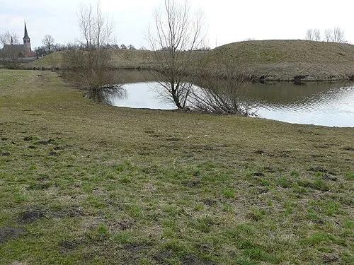 Kleine Schans Historic site, Drimmelen Municipality9.5 km N
-
Leijloop River, Belgium7 km S
-
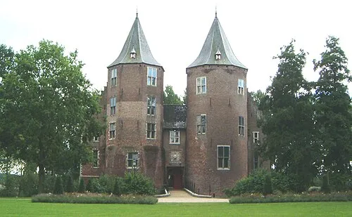 Kasteel Dussen Historic site, Altena23 km NE
-
Fluitberg Mountain, Alphen-Chaam Municipality13 km SE
-
Zandberg Mountain, Alphen-Chaam Municipality14 km SE
-
Witte Bergen Mountain, Baarle-Nassau Municipality16 km S
Nearest towns and villages
Sources & licences
Data last updated: · 2 independent sources