Breda
Located in Breda Municipality, North Brabant Coordinates: 51°35′12″ N 4°46′33″ E
- Population
- 184,126
- 184.1K
- Elevation
- 9 m
- above sea level
- Local time
- UTC+01:00
- Europe/Amsterdam · UTC+01:00
About Breda
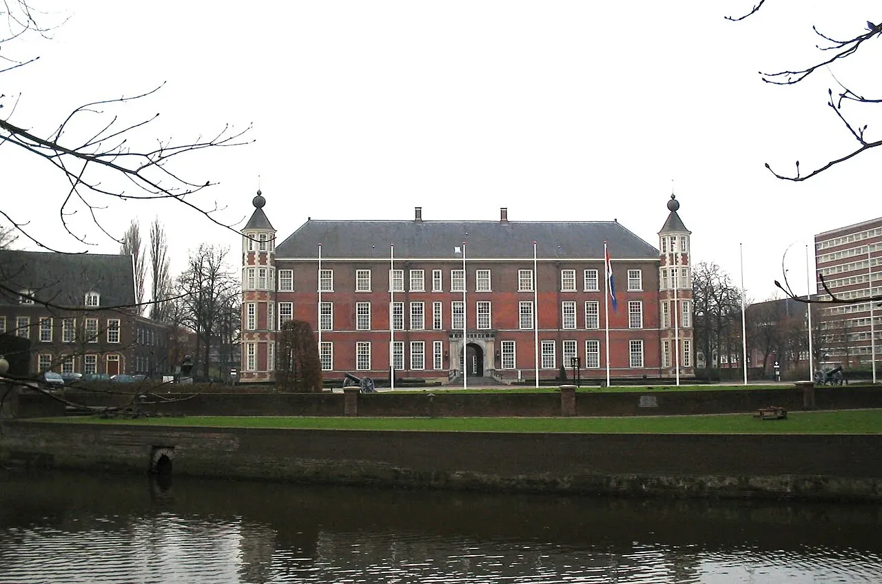
Breda is a city. Location: Breda Municipality, North Brabant. Population: 184,126. Elevation: 9 m.
Breda ( BRAY-də, also UK: BREE-də, US: bray-DAH, Dutch: [breːˈdaː] ) is a city and municipality in the southern part of the Netherlands, located in the province of North Brabant. The name derived from brede Aa ('wide Aa' or 'broad Aa') and refers to the confluence of the rivers Mark and Aa. Breda has 185,072 inhabitants on 13 September 2022 and is part of the Brabantse Stedenrij; it is the tenth largest city/municipality in the country, and the third largest in North Brabant after Eindhoven and Tilburg.
Read more on Wikipedia Text: Wikipedia contributors · CC BY-SA 4.0 · shortened
At a glance
- Area
- 129 km²
Source: Wikidata
In comparison
- Most populous of 17 places in Breda Municipality
- Nearest larger town: Tilburg, 22 km E
- 5 sights and natural places within 10 km Breda Concentration Camp, Kasteel Bouvigne
Nearby attractions & nature
Everything nearby-
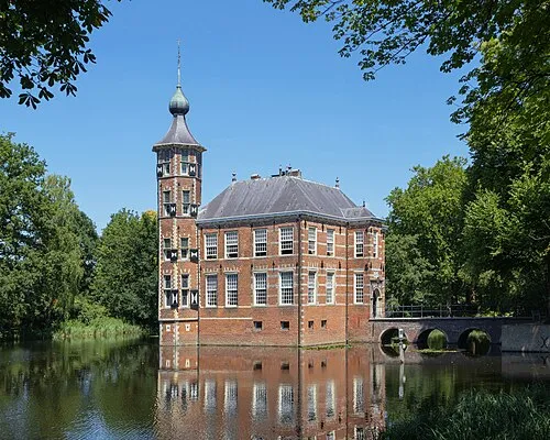 Kasteel Bouvigne Historic site, Breda Municipality2.7 km S
-
Breda Concentration Camp Historic site, Breda Municipality1.7 km S
-
Aa River, The Netherlands3.5 km SW
-
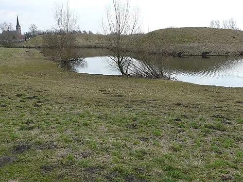 Kleine Schans Historic site, Drimmelen Municipality6.8 km N
-
Fluitberg Mountain, Alphen-Chaam Municipality15 km SE
-
Zandberg Mountain, Alphen-Chaam Municipality16 km SE
-
Leijloop River, Belgium9.6 km S
-
Houtberg Mountain, Gemeente Goirle18 km SE
Sources & licences
Data last updated: · 2 independent sources