Bergen op Zoom
Located in Bergen op Zoom Municipality, North Brabant Coordinates: 51°29′42″ N 4°17′30″ E
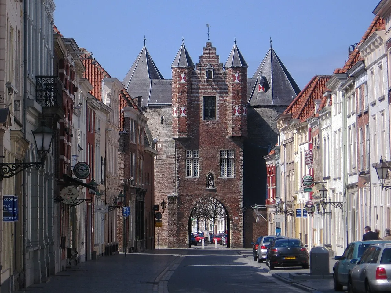
- Population
- 66,256
- 66.3K
- Elevation
- 9 m
- above sea level
- Local time
- UTC+01:00
- Europe/Amsterdam · UTC+01:00
- Airports
- ANR Antwerp International Airport (Deurne)36 km
- RTM Rotterdam The Hague Airport52 km
About Bergen op Zoom
Bergen op Zoom is a town. Location: Bergen op Zoom Municipality, North Brabant. Population: 66,256. Elevation: 9 m.
Bergen op Zoom (Dutch pronunciation: [ˌbɛrɣə(n) ɔp ˈsoːm] ; called Berrege [ˈbɛrəɣə] in the local dialect) is a city and municipality in southwestern Netherlands. It is located in the province of North Brabant, at the provincial border with Zeeland. In 2025, the municipality had a population of 70,216.
Source: Wikipedia · CC BY-SA 4.0
Photos of Bergen op Zoom
-

Pieter Verbiest · Public domain -

FrDr · CC BY-SA 4.0 -
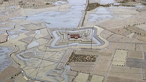
Fort de Roovere Martin Leveneur · CC BY-SA 3.0


Travel notes for Bergen op Zoom
From Wikivoyage
Bergen op Zoom is a city in the west of the Dutch province of North Brabant in The Netherlands. Situated on the border of neighbouring province Zeeland, the city lies on the hills of the "Brabantse wal", an area heightened over the centuries under influence of the river Schelde and the Sea. The area is dotted with historic estates and large parts of it are natural reserves, making it a fine destination for hikers. Bergen op Zoom is known as pleasant and historic city, packed with monumental buildings, plenty of good shopping opportunities and many welcoming cafés.
Understand+
This is a historical city with about 66,000 inhabitants and a strategic location close to both Rotterdam and Antwerp. Nevertheless it has the typical atmosphere of a North-Brabant city. It is said that hotel De Draak is the oldest hotel in the Netherlands.
History:
Bergen op Zoom originated in the Middle Ages from the combined growth of three small settlements. It was walled in 1330 and received city rights in 1347 . The city was the administrative center of the area. From 1533, the lords of the city from the house of Glymes were allowed to carry the title of Marquis. Their palace (Markiezenhof) is a museum now. About 1500, Bergen op Zoom was, with its port on the Oosterschelde and its fairs, a major trade competitor for Antwerp. Two differing influences caused a decline: massive floods with storm surges to the hinterland and the impact of the Eighty Years' War (1568–1648).
In 1577, during the Eighty Years' War, the Spanish who were expelled from the city, made numerous attempts to recapture it: In 1581 and 1588 (by Alessandro Farnese), in 1605 and 1622 (by Ambrogio Spinola).
The fort of Bergen op Zoom was created in 1688 by Menno van Coehoorn and was considered one of the strongest fortresses of the Low Countries. However, in 1747 it was taken by the French general Löwendahl after a three-month siege. Just one year later, due to the Aachen Peace treaty, the French had to evacuate the fort.
On 30 January 1795 Bergen op Zoom was handed over to the French without a fight. In 1814 there was an unsuccessful attempt to capture the fortress by a British force commanded by General Graham.
In 1867 the fort was abandoned and dismantled.
Tourist information:
1 VVV Brabantse Wal, Kortemeestraat 19, ☏ +31 164 277482, info@vvvbrabantsewal.nl. Tue 10:00-17:00. Friendly staff with extensive information about Bergen op Zoom and surroundings.
Get in+
By car:
Bergen op Zoom is on the junction of highways from North to South (A4 and A17) and East to West (A58) making it easy to reach the city by car. Long time parking in the center is only possible in paid parking lots. Garages in the center are: Grote Markt and De Parade (€1.26 per hour, €9.50 full day).
By train:
NS intercity trains run from/to Roosendaal and Vlissingen. For Antwerp you need a change in Roosendaal. Intercity trains arrive and depart twice per hour. The railway station is east of the inner city and on less than 1 km walking distance from the Grote Markt.
By bus:
The public transport in Bergen op Zoom and to/from Roosendaal is done by Veolia Transport. For heading to Zeeland you are reliant on Connexxion. The bus station is next to the railway station.
Source: Wikivoyage · CC BY-SA 4.0 · abridged
Twin towns and sister cities of Bergen op Zoom
- Oudenaarde· Belgium
Source: Wikidata. Only places with a page on this site are shown.
Climate of Bergen op Zoom
Best months for sightseeingBest months for sightseeing: June–August.
This month · November
A cold month
Day 10° · Night 4° · Rain 79 mm
- Hottest month
- August (day 23°)
- Coldest month
- February (night 1°)
- Wettest month
- September (79 mm)
- Driest month
- April (47 mm)
Bars: average monthly low and high temperature. Below: precipitation. Monthly averages for 1970–2000 at about 18 km resolution, adjusted for elevation. Highlighted months are mild and relatively dry. Source: WorldClim 2.1 (CC BY 4.0).
Show values as a table
| Month | Jan | Feb | Mar | Apr | May | Jun | Jul | Aug | Sep | Oct | Nov | Dec |
|---|---|---|---|---|---|---|---|---|---|---|---|---|
| Average high (°C) | 6° | 6° | 10° | 13° | 18° | 20° | 22° | 23° | 19° | 15° | 10° | 7° |
| Average low (°C) | 1° | 1° | 3° | 5° | 9° | 11° | 14° | 13° | 11° | 8° | 4° | 2° |
| Precipitation (mm) | 63 | 51 | 60 | 47 | 57 | 73 | 73 | 57 | 79 | 77 | 79 | 75 |
How to get to Bergen op Zoom
The nearest airport is Antwerp International Airport (Deurne) (ANR), 36 km to the south as the crow flies. For international flights: Rotterdam The Hague Airport (RTM) (52 km). The nearest large city is Antwerp, 31 km to the south.
Airports
- Antwerp International Airport (Deurne) (ANR) Antwerp 36 kmsouth
- Rotterdam The Hague Airport (RTM) Rotterdam 52 kmnorth
- Brussels Airport (BRU) Zaventem 67 kmsouth
Nearby large cities
- Antwerp Population: 529.2K 31 kmsouth
- Breda Population: 184.1K 35 kmeast
- Dordrecht Population: 119.3K 44 kmnortheast
- Rotterdam Population: 868.1K 49 kmnorth
- Tilburg Population: 221.9K 56 kmeast
Straight-line distances; road distances are longer. Airport data: OurAirports.
Day trips from Bergen op Zoom
Within 100 km: 210 historic and cultural sites, 338 natural sites, 754 lakes, rivers and coasts.
0–25 km39 places
- Putse Moer Lake 16 kmSE
- Stappensven Lake 14 kmSE
- Kleine Weel Lake 25 kmS
- Groot Gat Lake 22 kmS
25–60 km343 places
- IJsselmonde Island 44 kmN
- Het Eiland Island 39 kmSW
- Hofstademeer Lake 59 kmS
- Grote Weel Lake 25 kmS
60–100 km920 places
- Knokke-Strand Beach 71 kmW
- Klein Strand Oostende Beach 100 kmW
- Vijvers van Bellefroid Lake 72 kmSE
- Wijngaardberg Mountain 69 kmSE
Straight-line distances.
Bergen op Zoom and similar cities
Side by side with cities of similar size in the same country: population, elevation and climate.
| Measure | Bergen op Zoom | Assen | Lelystad | Hengelo |
|---|---|---|---|---|
| Population | 66.3K | 68.8K | 79.8K | 82.3K |
| Elevation | 9 m | 12 m | -1 m | 18 m |
| Summer day (hottest month) | 23° | 22° | 22° | 23° |
| Winter night (coldest month) | 1° | -1° | 1° | -1° |
| Annual rainfall | 791 mm | 829 mm | 803 mm | 777 mm |
| Best months | Jun–Aug | Jun–Aug | Jun–Aug | Jun–Aug |
| Distance | — | 228 km | 139 km | 192 km |
Climate values are 1970–2000 monthly averages; straight-line distance.
Nearby attractions & nature
Everything nearby-
Zoom River, Belgium1.8 km W
-
Fort de Roovere Historic site, Bergen op Zoom Municipality3.8 km N
-
Kraaienberg Mountain, Gemeente Woensdrecht14 km SE
-
Steertse Duinen Natural site, Antwerp Province12 km SE
-
Tooverberg Mountain, Gemeente Woensdrecht15 km S
-
Galgenberg Mountain, Gemeente Woensdrecht15 km SE
-
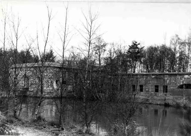 Fort van Ertbrand Historic site, Kapellen19 km SE
-
Reeberg Mountain, Gemeente Woensdrecht15 km S
Sources & licences
Data last updated: · 2 independent sources