Deurne Municipality
Located in North Brabant, The Netherlands Coordinates: 51°26′13″ N 5°49′21″ E
- Population
- 32,437
- 32.4K
- Elevation
- 27 m
- above sea level
- Local time
- UTC+01:00
- Europe/Amsterdam · UTC+01:00
- Places inside
- 7
- listed under Deurne Municipality
About Deurne Municipality
Deurne Municipality is a district. Location: North Brabant, The Netherlands. Population: 32,437.
In comparison
- Listed here: Village: 5, Neighbourhood: 2
Places in Deurne Municipality
7 placesNearby attractions & nature
Everything nearby-
Vossenheuvel Mountain, Horst aan de Maas Municipality6.8 km E
-
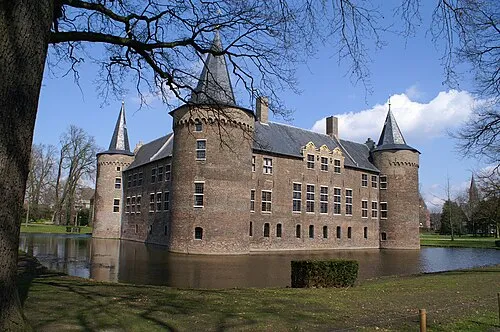 Kasteel Helmond Historic site, Gemeente Helmond13 km W
-
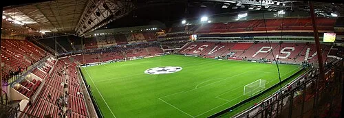 Philips Stadium Landmark, Eindhoven Municipality25 km W
-
Sint Martinsberg Mountain, Horst aan de Maas Municipality13 km E
-
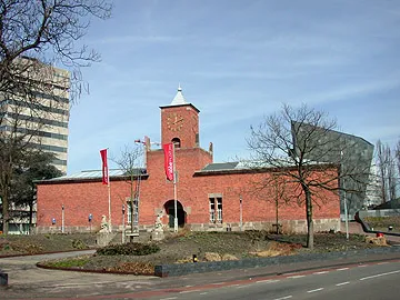 Van Abbe museum Museum, Eindhoven Municipality24 km W
-
Hondsberg Mountain, Land van Cuijk17 km N
Sources & licences
Data last updated: