Gemeente Gemert-Bakel
Located in North Brabant, The Netherlands Coordinates: 51°31′32″ N 5°43′41″ E
- Population
- 30,760
- 30.8K
- Elevation
- 20 m
- above sea level
- Local time
- UTC+01:00
- Europe/Amsterdam · UTC+01:00
- Places inside
- 19
- listed under Gemeente Gemert-Bakel
About Gemeente Gemert-Bakel
Gemeente Gemert-Bakel is a district. Location: North Brabant, The Netherlands. Population: 30,760.
In comparison
- Listed here: Village: 18, Town: 1
Places in Gemeente Gemert-Bakel
19 places-
Gemert Town16K
-
Bakel Village4.1K
-
Milheeze Village1.4K
-
Handel Village1.3K
-
Doonheide Village1K
-
De Mortel Village905
-
De Rips Village875
-
Elsendorp Village560
-
Bakelsebrug Village
-
Benthem Village
-
Boekend Village
-
Esdonk Village
-
Esp Village
-
Geneneind Village
-
Grotel Village
-
Kaweide Village
-
Mathijseind Village
-
Zaarvlaas Village
-
Zand Village
Nearby attractions & nature
Everything nearby-
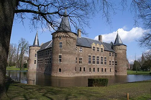 Kasteel Helmond Historic site, Gemeente Helmond7.5 km SW
-
 Philips Stadium Landmark, Eindhoven Municipality20 km SW
-
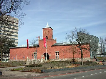 Van Abbe museum Museum, Eindhoven Municipality20 km SW
-
Hondsberg Mountain, Land van Cuijk14 km NE
-
Hansenberg Mountain, Venray Municipality15 km E
-
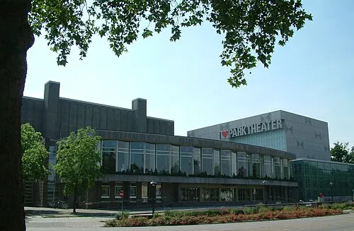 Parktheater Eindhoven Attraction, Eindhoven Municipality20 km SW
Sources & licences
Data last updated: