Bakel
Located in Gemeente Gemert-Bakel, North Brabant Coordinates: 51°30′12″ N 5°44′25″ E
- Population
- 4,140
- 4.1K
- Elevation
- 23 m
- above sea level
- Local time
- UTC+01:00
- Europe/Amsterdam · UTC+01:00
About Bakel
Bakel is a village. Location: Gemeente Gemert-Bakel, North Brabant. Population: 4,140. Elevation: 23 m.
Bakel is a village east of Helmond and Eindhoven in southern part of the Netherlands. The total population is approximately 5,000. Until 1997, it formed the municipality of Bakel and Milheeze together with Milheeze. In 1997 Bakel merged with the Gemert municipality. Bakel does not have old buildings, with the exception of the 16th century St Willibrordus Church which is the oldest in the area. This church was modernized during the 1970s, but regained some of the original style of decoration during the 1990s.
Read more on Wikipedia Text: Wikipedia contributors · CC BY-SA 4.0 · shortened
In comparison
- No. 2 of 8 places in Gemeente Gemert-Bakel by population
- Nearest larger town: Helmond, 6 km SW
Nearby attractions & nature
Everything nearby-
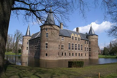 Kasteel Helmond Historic site, Gemeente Helmond6.7 km SW
-
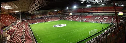 Philips Stadium Landmark, Eindhoven Municipality20 km W
-
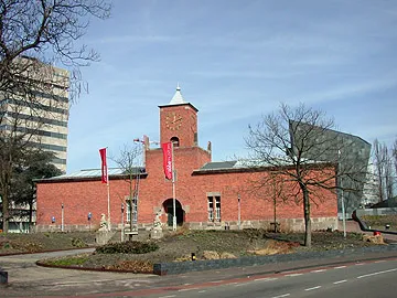 Van Abbe museum Museum, Eindhoven Municipality20 km SW
-
Hondsberg Mountain, Land van Cuijk15 km NE
-
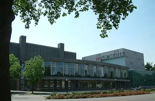 Parktheater Eindhoven Attraction, Eindhoven Municipality20 km SW
-
Vliegenberg Mountain, Land van Cuijk21 km NE
Sources & licences
Data last updated: · 2 independent sources