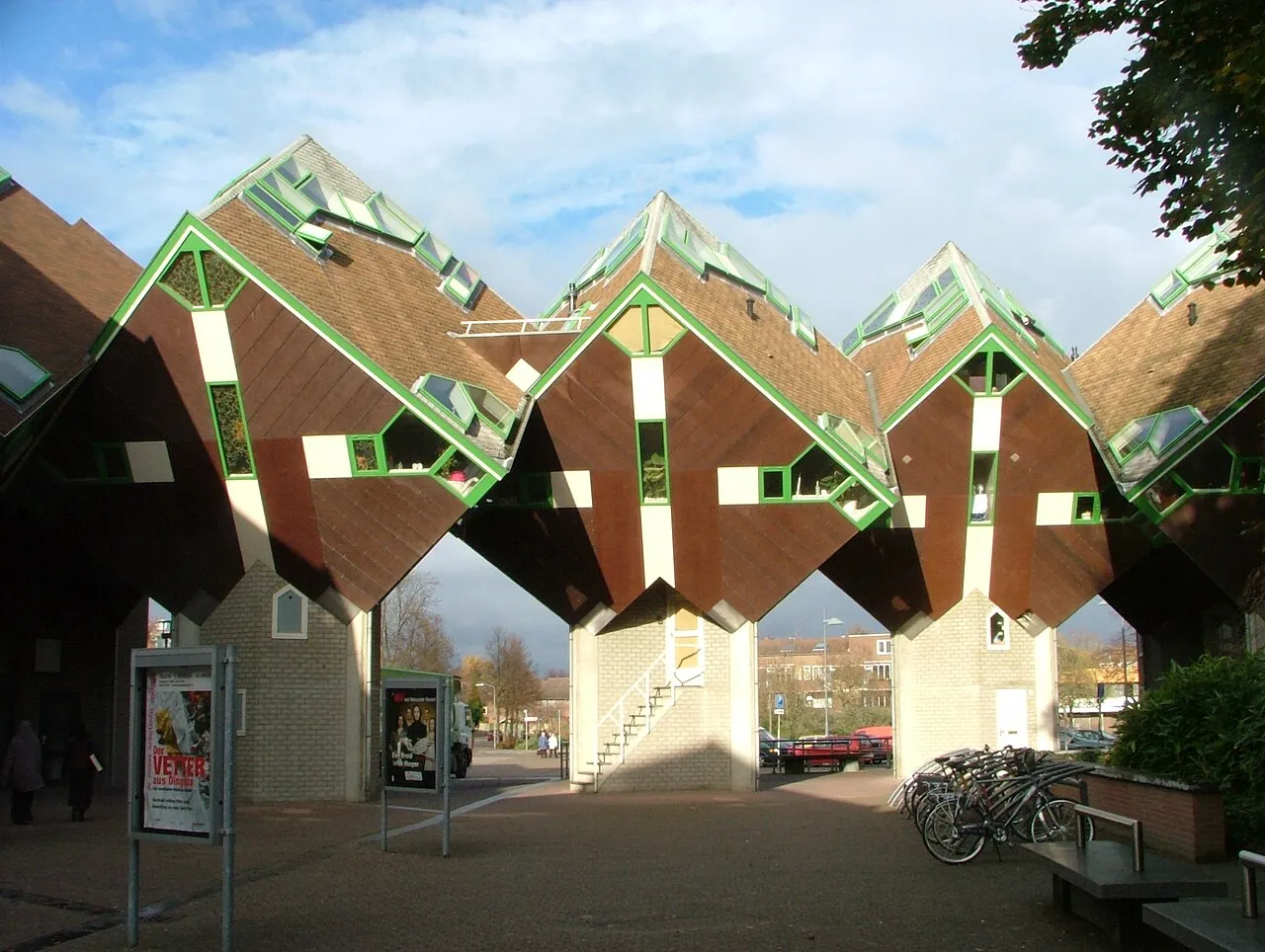
- Population
- 74,740
- 74.7K
- Elevation
- 19 m
- above sea level
- Local time
- UTC+01:00
- Europe/Amsterdam · UTC+01:00
- Airports
- EIN Eindhoven Airport20 km
- NRN Weeze (Niederrhein) Airport36 km
About Helmond
Helmond is a town. Location: Gemeente Helmond, North Brabant. Population: 74,740. Elevation: 19 m. The best months to visit are June–August. The nearest airport is Eindhoven Airport (20 km). Nearby sights include Kasteel Helmond and Van Abbe museum.
Photos of Helmond
-

Peter bankers · CC BY-SA 4.0 -

Marcel uit Helmond · CC BY-SA 4.0 -

Marcel uit Helmond · CC BY-SA 4.0 -

Rosemoon · CC BY-SA 4.0 -

WoodenSpoon · CC BY-SA 4.0


Travel notes for Helmond
From Wikivoyage
Helmond is a city in the province of North Brabant in the Netherlands. With a population of 91,500 (2019) people, it's the fifth largest city of North Brabant. Typical of Helmond is its history of metal and textile industries. Lot of street names ending on wal (wall) point to the former ramparts of the fortified Helmond, of which the 14th-century castle was part.
Understand+
History:
Helmond originated from a settlement in 1179 and was first mentioned in a bull of Pope Alexander III. The city was founded in 1225 by Duke Henry I of Brabant. Helmond received city rights in 1232. In the 19th century the textile industry took off. At this time the Zuid-Willemsvaart was built that connects Helmond with 's-Hertogenbosch and Maastricht. Along the canal villas of textile barons remember to the former textile industry.
Tourist office:
1 VVV Helmond, Oude Aa 49, ☏ +31 492 367 070. For ticket sales, routes, gift cards, local and regional products, cycling or walking trails in the Peel.
City of Helmond website
Get in+
By plane:
Nearby is Eindhoven Airport. Ryanair, Wizzair, Transavia and more companies, service this airport from more than 60 destinations within Europe. Getting from the airport to Helmond is possible by public transport; the most convenient is by bus to Eindhoven railway station to take a direct train to Helmond.
By train:
Helmond has four railway stations on the line Eindhoven-Venlo. Intercity trains only stop in Helmond station.
By car:
The A270 highway connects Helmond with Eindhoven. Secondary roads N279 run North to Den Bosch, N270 East to Venray and N612 South direction Weert with a connection to the A67 (Antwerp-Venlo) after 2 km.
By bus:
The regional buses, operated by the Hermes, link Helmond with major surrounded cities. As these are the regional buses, they do not go directly between these city but stop at several small villages. Hermes bus company operates within the boundaries of the city. Travelling inside the city by bus is difficult because many lines have been cancelled.
By taxi:
In you want to travel quickly between cities in the region you can also travel by taxi. Prices will vary, but if you use a taxi with more people than this is still a cheap way of transportation in and around Helmond. There are several taxi services available, but if you need a good and reliable one call +31 492 511517 or visit the website
Source: Wikivoyage · CC BY-SA 4.0 · abridged
Climate of Helmond
Best months for sightseeingBest months for sightseeing: June–August.
This month · November
A cold month
Day 9° · Night 3° · Rain 71 mm
- Hottest month
- August (day 23°)
- Coldest month
- February (night 0°)
- Wettest month
- December (73 mm)
- Driest month
- April (46 mm)
Bars: average monthly low and high temperature. Below: precipitation. Monthly averages for 1970–2000 at about 18 km resolution, adjusted for elevation. Highlighted months are mild and relatively dry. Source: WorldClim 2.1 (CC BY 4.0).
Show values as a table
| Month | Jan | Feb | Mar | Apr | May | Jun | Jul | Aug | Sep | Oct | Nov | Dec |
|---|---|---|---|---|---|---|---|---|---|---|---|---|
| Average high (°C) | 6° | 6° | 10° | 13° | 18° | 21° | 23° | 23° | 19° | 15° | 9° | 7° |
| Average low (°C) | 0° | 0° | 2° | 4° | 8° | 10° | 12° | 12° | 10° | 6° | 3° | 1° |
| Precipitation (mm) | 67 | 51 | 66 | 46 | 62 | 71 | 65 | 57 | 65 | 63 | 71 | 73 |
How to get to Helmond
The nearest airport is Eindhoven Airport (EIN), 20 km to the west as the crow flies. The nearest large city is Eindhoven, 14 km to the west.
Airports
- Eindhoven Airport (EIN) Eindhoven 20 kmwest
- Weeze (Niederrhein) Airport (NRN) Weeze 36 kmeast
- Maastricht Aachen Airport (MST) Maastricht 64 kmsouth
Nearby large cities
- Eindhoven Population: 235.7K 14 kmwest
- 's-Hertogenbosch Population: 160.8K 35 kmnorthwest
- Venlo Population: 102K 37 kmeast
- Tilburg Population: 221.9K 40 kmwest
- Nijmegen Population: 177.4K 42 kmnorth
Straight-line distances; road distances are longer. Airport data: OurAirports.
Day trips from Helmond
Within 100 km: 332 historic and cultural sites, 539 natural sites, 617 lakes, rivers and coasts.
0–25 km15 places
- Warmbeek River 24 kmSW
- Rioolbeek River 24 kmSW
- Erkbeek River 25 kmS
- Beverbeekloop River 25 kmSW
25–60 km357 places
- Schemersberg Mountain 57 kmS
- Kaaienberg Mountain 59 kmSW
- Zandbergen Natural site 50 kmSW
- Zeven-Heerlijkhedenheide Natural site 40 kmSW
60–100 km1,116 places
- IJsselmonde Island 90 kmNW
- Île Monsin Island 92 kmS
- Île de Franche Garenne Island 87 kmS
- Putse Moer Lake 86 kmW
Straight-line distances.
Helmond and similar cities
Side by side with cities of similar size in the same country: population, elevation and climate.
| Measure | Helmond | Lelystad | Assen | Hengelo |
|---|---|---|---|---|
| Population | 74.7K | 79.8K | 68.8K | 82.3K |
| Elevation | 19 m | -1 m | 12 m | 18 m |
| Summer day (hottest month) | 23° | 22° | 22° | 23° |
| Winter night (coldest month) | 0° | 1° | -1° | -1° |
| Annual rainfall | 757 mm | 803 mm | 829 mm | 777 mm |
| Best months | Jun–Aug | Jun–Aug | Jun–Aug | Jun–Aug |
| Distance | — | 115 km | 179 km | 117 km |
Climate values are 1970–2000 monthly averages; straight-line distance.
Nearby attractions & nature
Everything nearby-
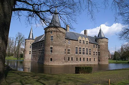 Kasteel Helmond Historic site, Gemeente Helmond0.8 km SW
-
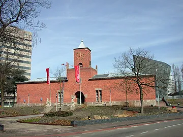 Van Abbe museum Museum, Eindhoven Municipality13 km SW
-
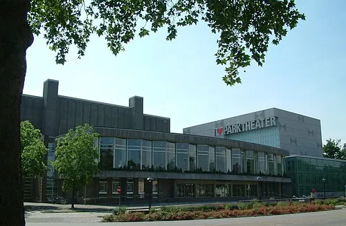 Parktheater Eindhoven Attraction, Eindhoven Municipality14 km SW
-
Eindhoven Concentration Camp Historic site, Eindhoven Municipality14 km W
-
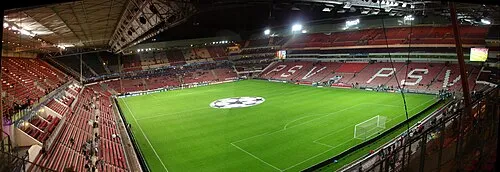 Philips Stadium Landmark, Eindhoven Municipality14 km W
-
Hondsberg Mountain, Land van Cuijk21 km NE
-
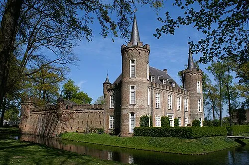 Henkenshage Historic site, Meierijstad17 km NW
-
Vossenheuvel Mountain, Horst aan de Maas Municipality19 km E
Sources & licences
Data last updated: