- Population
- 5,810
- 5.8K
- Elevation
- 24 m
- above sea level
- Local time
- UTC+01:00
- Europe/Amsterdam · UTC+01:00
- Airports
- ANR Antwerp International Airport (Deurne)28 km
- BRU Brussels Airport59 km
About Hoogerheide
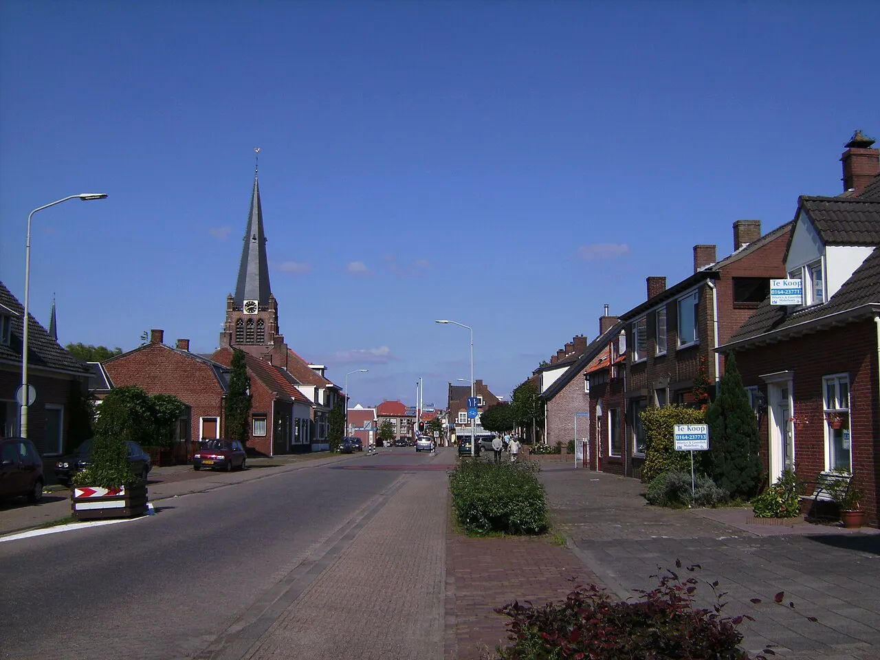
Hoogerheide is a town. Location: Gemeente Woensdrecht, North Brabant. Population: 5,810. Elevation: 24 m.
Hoogerheide is a village in the municipality of Woensdrecht, North Brabant, Netherlands. The name "Hoogerheide" means "High Heath" in English. The Grand Prix Adri van der Poel cyclo-cross race is held annually in Hoogerheide. The village was first mentioned in 1319 as "die hoeghe heide". Hooger (higher) has been added to distinguish from Nederheide. Hoogerheide developed after the Reformation around a clandestine church. The Assumption of Mary Church was built in 1882 in Gothic Revival style.
Source: Wikipedia · CC BY-SA 4.0
Photos of Hoogerheide
-

Gerrit de Hoog · CC BY-SA 4.0 -

Gerrit de Hoog · CC BY-SA 4.0 -

markoz66 · CC BY-SA 3.0


Climate of Hoogerheide
Best months for sightseeingBest months for sightseeing: June–August.
This month · November
A cold month
Day 9° · Night 4° · Rain 79 mm
- Hottest month
- August (day 22°)
- Coldest month
- February (night 1°)
- Wettest month
- September (79 mm)
- Driest month
- April (47 mm)
Bars: average monthly low and high temperature. Below: precipitation. Monthly averages for 1970–2000 at about 18 km resolution, adjusted for elevation. Highlighted months are mild and relatively dry. Source: WorldClim 2.1 (CC BY 4.0).
Show values as a table
| Month | Jan | Feb | Mar | Apr | May | Jun | Jul | Aug | Sep | Oct | Nov | Dec |
|---|---|---|---|---|---|---|---|---|---|---|---|---|
| Average high (°C) | 6° | 6° | 10° | 13° | 18° | 20° | 22° | 22° | 19° | 14° | 9° | 7° |
| Average low (°C) | 1° | 1° | 3° | 5° | 9° | 11° | 13° | 13° | 11° | 8° | 4° | 2° |
| Precipitation (mm) | 63 | 51 | 60 | 47 | 57 | 73 | 73 | 57 | 79 | 77 | 79 | 75 |
How to get to Hoogerheide
The nearest airport is Antwerp International Airport (Deurne) (ANR), 28 km to the south as the crow flies. For international flights: Brussels Airport (BRU) (59 km). The nearest large city is Antwerp, 23 km to the south.
Airports
- Antwerp International Airport (Deurne) (ANR) Antwerp 28 kmsouth
- Brussels Airport (BRU) Zaventem 59 kmsouth
- Rotterdam The Hague Airport (RTM) Rotterdam 60 kmnorth
Nearby large cities
- Antwerp Population: 529.2K 23 kmsouth
- Breda Population: 184.1K 36 kmnortheast
- Dordrecht Population: 119.3K 49 kmnortheast
- Tilburg Population: 221.9K 55 kmeast
- Rotterdam Population: 868.1K 56 kmnorth
Straight-line distances; road distances are longer. Airport data: OurAirports.
Day trips from Hoogerheide
Within 100 km: 216 historic and cultural sites, 378 natural sites, 825 lakes, rivers and coasts.
0–25 km94 places
- Putse Moer Lake 9 kmSE
- Stappensven Lake 8 kmE
- Kleine Weel Lake 19 kmSW
- Grote Weel Lake 19 kmSW
25–60 km361 places
- IJsselmonde Island 51 kmN
- Het Eiland Island 35 kmSW
- Hofstademeer Lake 50 kmS
- Middelberg Mountain 60 kmSE
60–100 km964 places
- Knokke-Strand Beach 72 kmW
- Vijvers van Bellefroid Lake 63 kmSE
- Wijngaardberg Mountain 61 kmSE
- Wetsberg Mountain 64 kmSE
Straight-line distances.
Nearby attractions & nature
Everything nearby-
Tooverberg Mountain, Gemeente Woensdrecht6.5 km SE
-
Kraaienberg Mountain, Gemeente Woensdrecht6.6 km SE
-
Galgenberg Mountain, Gemeente Woensdrecht6.7 km SE
-
Reeberg Mountain, Gemeente Woensdrecht7.2 km SE
-
Steertse Duinen Natural site, Antwerp Province6.4 km E
-
Hoogenberg Mountain, Gemeente Woensdrecht8.8 km SE
-
Nolse Duinen Natural site, Antwerp Province7.7 km E
-
Vossenbergduinen Natural site, Antwerp Province8.3 km E
Sources & licences
Data last updated: · 2 independent sources