Erp
Located in Meierijstad, North Brabant Coordinates: 51°36′00″ N 5°36′25″ E
- Population
- 3,600
- 3.6K
- Elevation
- 15 m
- above sea level
- Local time
- UTC+01:00
- Europe/Amsterdam · UTC+01:00
About Erp
Erp is a village. Location: Meierijstad, North Brabant. Population: 3,600. Elevation: 15 m.
Erp (Dutch pronunciation: [ˈɛr(ə)p]) is a village in southern Netherlands, in the province of North Brabant between 's-Hertogenbosch and Eindhoven. Prior to 1994, Erp was a municipality consisting of the town of Erp and the villages of Boerdonk and Keldonk. In that year, the municipality was merged with the municipality of Veghel to form one municipality under the latter name. The area of the former municipality of Erp has a population of 6,663, while Veghel has a population of 37,655.
Read more on Wikipedia Text: Wikipedia contributors · CC BY-SA 4.0 · shortened
In comparison
- No. 5 of 17 places in Meierijstad by population
- Nearest larger town: Veghel, 4 km NW
Nearby attractions & nature
Everything nearby-
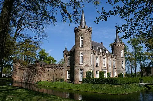 Henkenshage Historic site, Meierijstad11 km SW
-
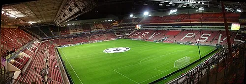 Philips Stadium Landmark, Eindhoven Municipality20 km SW
-
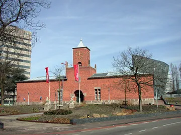 Van Abbe museum Museum, Eindhoven Municipality20 km SW
-
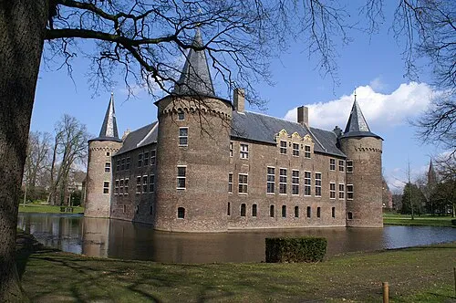 Kasteel Helmond Historic site, Gemeente Helmond14 km S
-
Sint Michielsgestel Concentration Camp Historic site, Sint-Michielsgestel Municipality18 km W
-
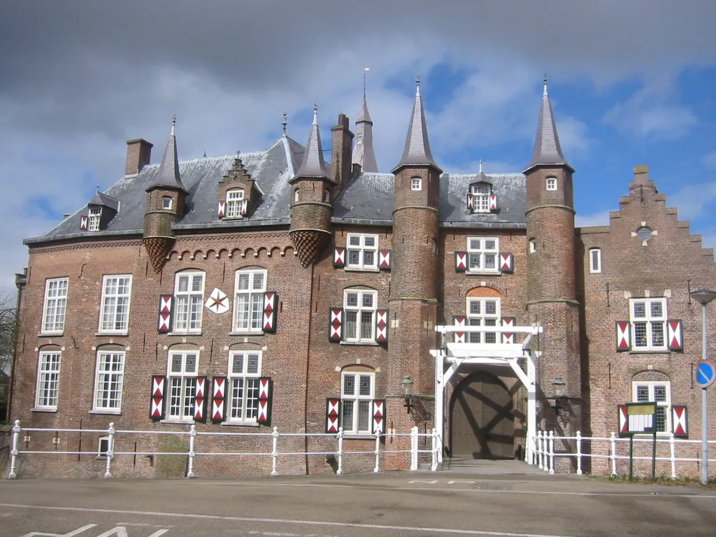 Kasteel Maurick Historic site, Gemeente Vught22 km W
Sources & licences
Data last updated: · 2 independent sources