Eerde
Located in Meierijstad, North Brabant Coordinates: 51°36′15″ N 5°29′55″ E
- Population
- 1,065
- 1.1K
- Elevation
- 12 m
- above sea level
- Local time
- UTC+01:00
- Europe/Amsterdam · UTC+01:00
About Eerde
Eerde is a village. Location: Meierijstad, North Brabant. Population: 1,065. Elevation: 12 m.
Eerde is a village in the Dutch province of North Brabant. It is part of the municipality of Meierijstad, located about 500 m west of the built-up area of Veghel and 3 km southwest of the town centre of Veghel. During Operation Market Garden, in September 1944, it changed hands several times between German and American forces but ended up in American hands; the village was severely damaged in the process. The village was first mentioned in 1309 as Eirde, and means earth. Eerde was home to 174 people in 1840.
Read more on Wikipedia Text: Wikipedia contributors · CC BY-SA 4.0 · shortened
In comparison
- No. 10 of 17 places in Meierijstad by population
- Nearest larger town: Wijbosch, 3 km NW
Nearby attractions & nature
Everything nearby-
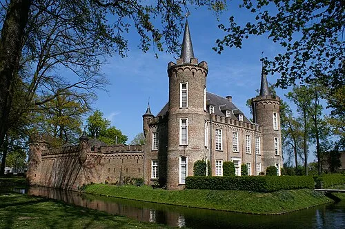 Henkenshage Historic site, Meierijstad5.8 km SW
-
Sint Michielsgestel Concentration Camp Historic site, Sint-Michielsgestel Municipality11 km W
-
Schoonberg Mountain, Sint-Michielsgestel Municipality11 km W
-
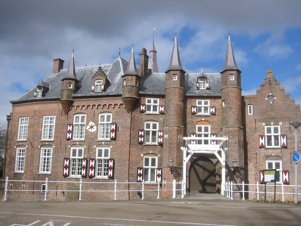 Kasteel Maurick Historic site, Gemeente Vught15 km NW
-
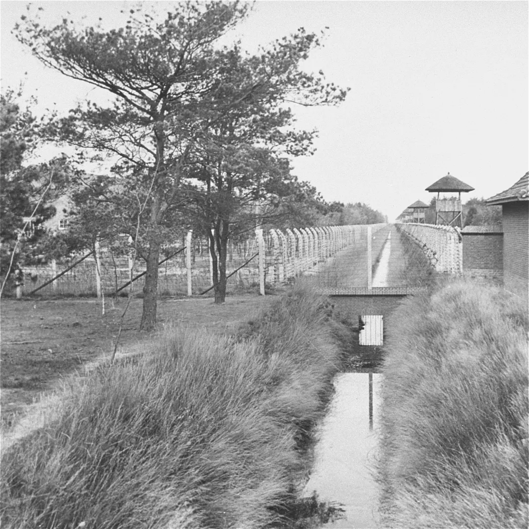 Herzogenbusch Concentration Camp Historic site, Gemeente Vught18 km W
-
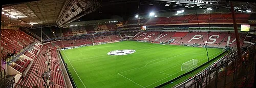 Philips Stadium Landmark, Eindhoven Municipality18 km S
Sources & licences
Data last updated: · 2 independent sources