Schijndel
Located in Meierijstad, North Brabant Coordinates: 51°37′21″ N 5°25′55″ E
- Population
- 23,239
- 23.2K
- Elevation
- 10 m
- above sea level
- Local time
- UTC+01:00
- Europe/Amsterdam · UTC+01:00
About Schijndel
Schijndel is a town. Location: Meierijstad, North Brabant. Population: 23,239. Elevation: 10 m.
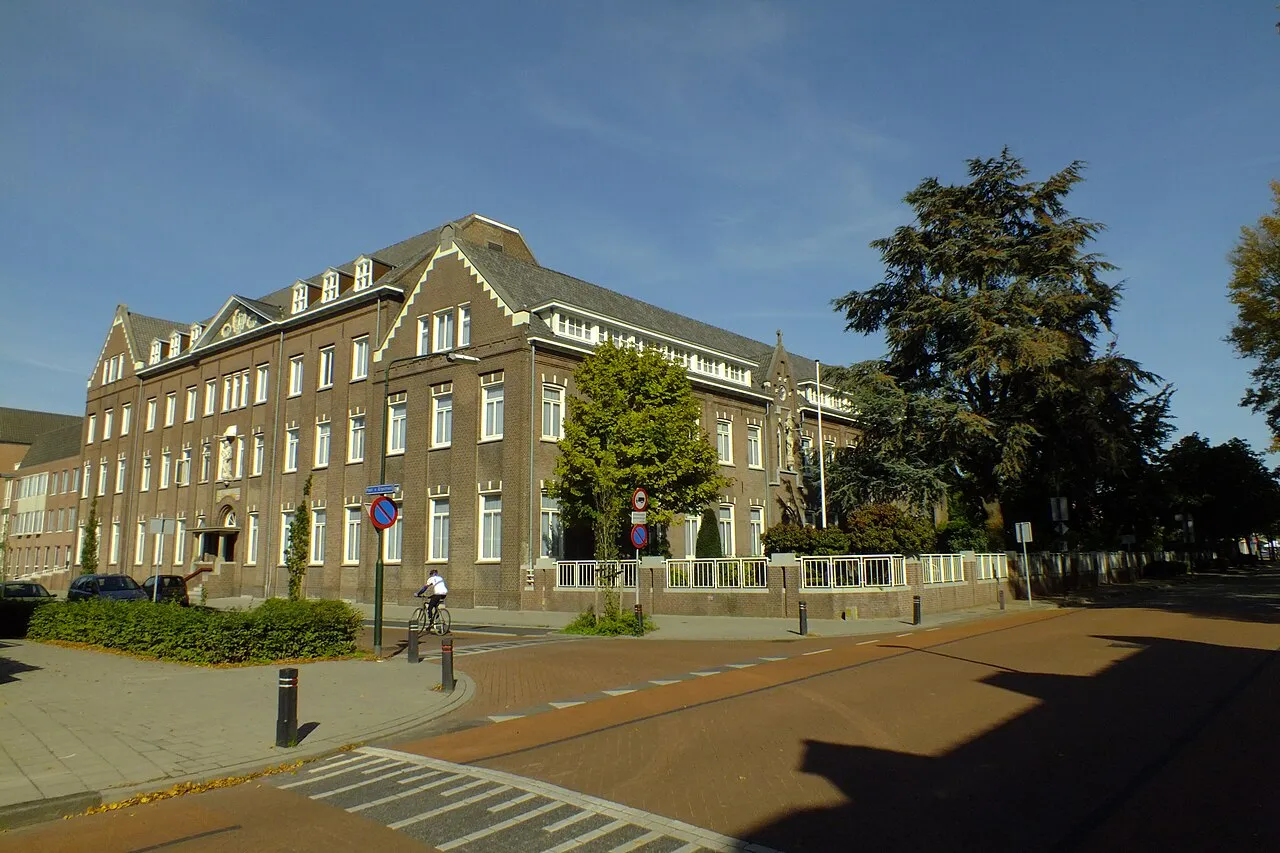
Schijndel (Dutch pronunciation: [ˈsxɛindəl] ) is a town and former municipality in the province of North Brabant, in the south of the Netherlands. Schijndel is located approximately 14 kilometres (8.7 mi) southeast of 's-Hertogenbosch. Schijndel was founded on 6 December 1309. On 1 January 2017 Schijndel, together with Veghel and Sint-Oedenrode, merged into a new municipality, Meierijstad, which created the largest municipality of North Brabant by land area.
Read more on Wikipedia Text: Wikipedia contributors · CC BY-SA 4.0 · shortened
In comparison
- No. 2 of 17 places in Meierijstad by population
- Nearest larger town: Boxtel, 8 km SW
- 6 sights and natural places within 10 km Sint Michielsgestel Concentration Camp, Schoonberg
Nearby attractions & nature
Everything nearby-
Sint Michielsgestel Concentration Camp Historic site, Sint-Michielsgestel Municipality5.9 km W
-
Schoonberg Mountain, Sint-Michielsgestel Municipality7 km W
-
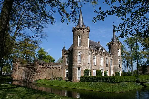 Henkenshage Historic site, Meierijstad7.3 km S
-
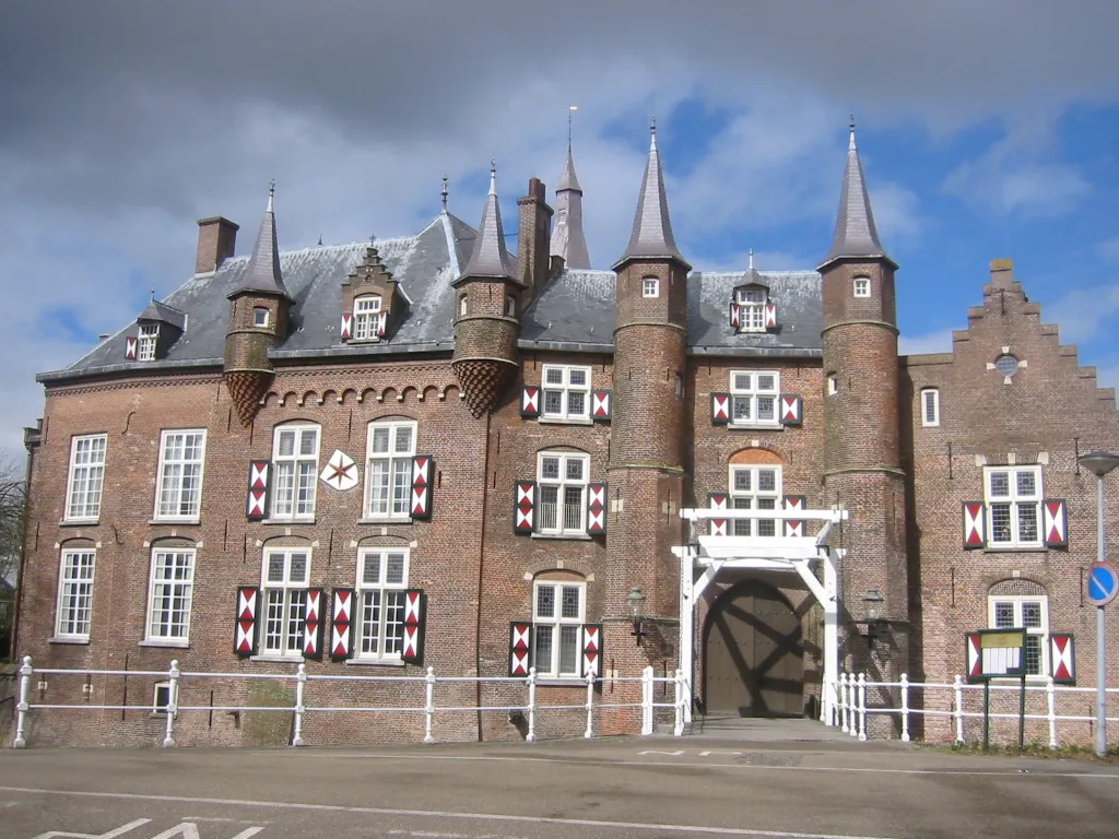 Kasteel Maurick Historic site, Gemeente Vught9.6 km NW
-
Patersberg Mountain, Sint-Michielsgestel Municipality9.1 km NW
-
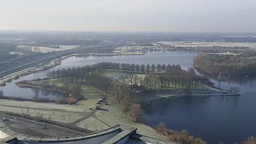 Pettelaarse Schans Historic site, Gemeente 's-Hertogenbosch9.5 km NW
-
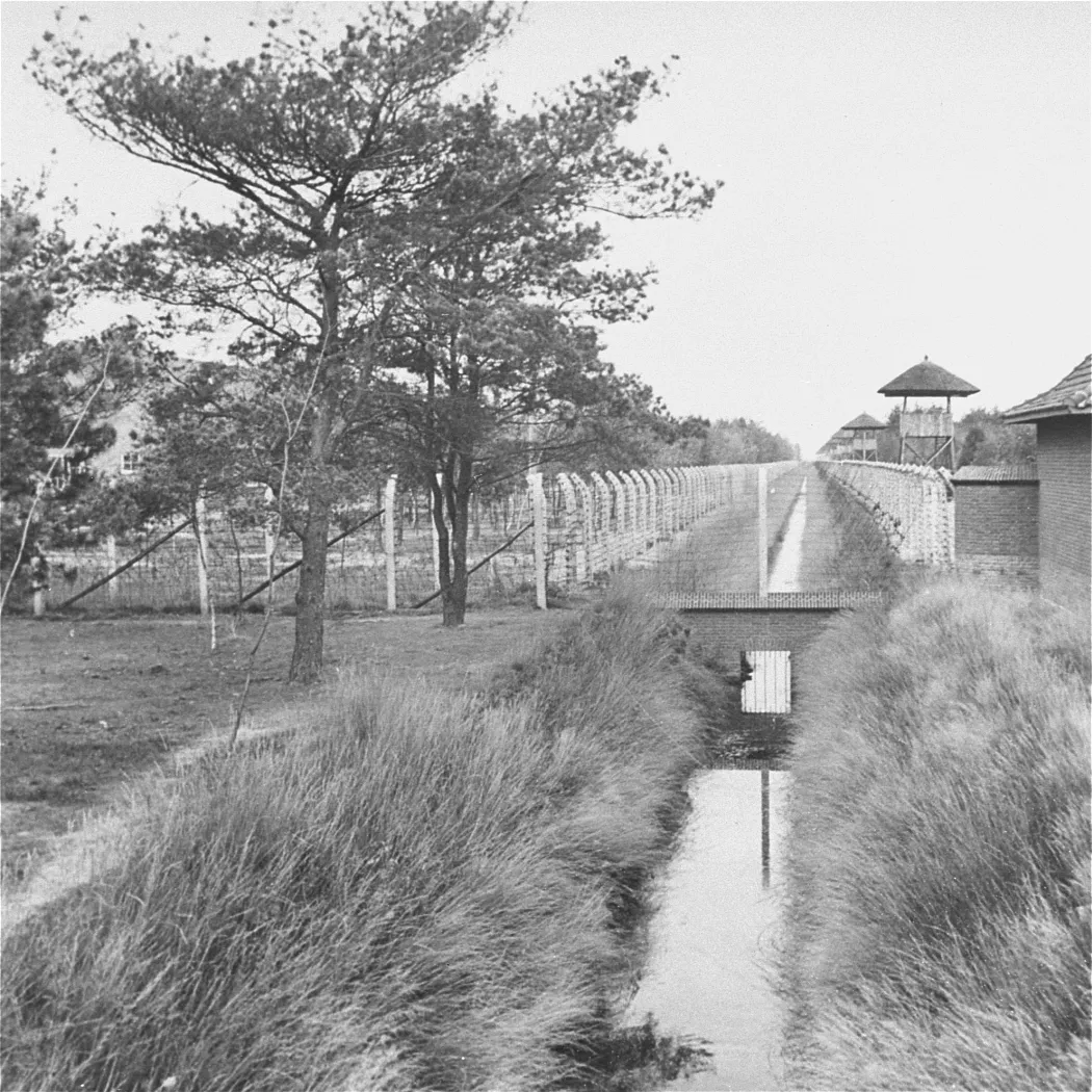 Herzogenbusch Concentration Camp Historic site, Gemeente Vught13 km W
-
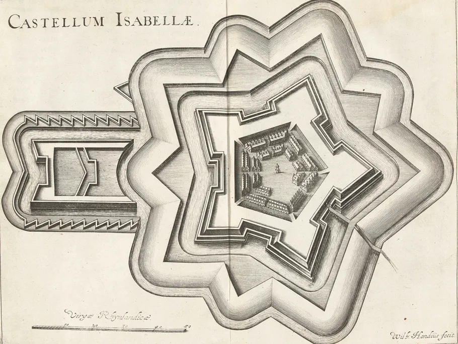 Fort Isabella Historic site, Gemeente Vught11 km NW
Sources & licences
Data last updated: · 2 independent sources