- Population
- 18,520
- 18.5K
- Elevation
- 5 m
- above sea level
- Local time
- UTC+01:00
- Europe/Amsterdam · UTC+01:00
- Airports
- AMS Amsterdam Airport Schiphol27 km
- RTM Rotterdam The Hague Airport62 km
About Naarden
Naarden is a town. Location: Gooise Meren, North Holland. Population: 18,520. Elevation: 5 m.
Naarden (Dutch pronunciation: [ˈnaːrdə(n)] ) is a city and former municipality in the Gooi region in the province of North Holland, Netherlands. It has been part of the new municipality of Gooise Meren since 2016. Along with the other towns in Gooise Meren, it is considered an affluent neighborhood.
Source: Wikipedia · CC BY-SA 4.0
Photos of Naarden
-

Gerd Eichmann · CC BY-SA 4.0 -

Gerd Eichmann · CC BY-SA 4.0 -

Daniel Huizinga from Washington, DC, United States · CC BY 2.0 -

StevenL · CC BY-SA 3.0 -

Jeroen Brinkman · CC BY-SA 3.0


Travel notes for Naarden
From Wikivoyage
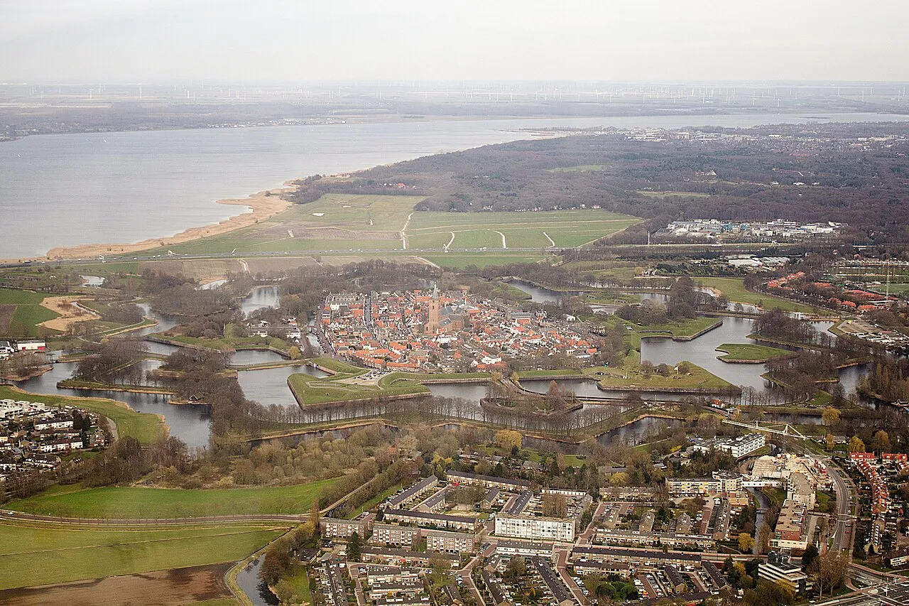
Naarden is a small town surrounded by large 17th-century fortifications, among the best preserved in Europe. The typical star shaped form is a spectacular sight from the air and on a satellite picture. The town centre itself has kept its historic character.
Naarden is about 15 km east of Amsterdam in the Netherlands. Outside the fortifications, the town expanded southward, and merged into one urban area with Bussum.
Understand+
History:
In the 9th century AD, at the time of the Vikings, a small town of fishermen and traders, called Naarden was first mentioned in documents. But it was not situated on the present location, as the original Naarden drowned.
During the 13th and 14th centuries a couple of monstrous storms swept over Holland. Hundreds of thousands acres of land were washed away, and a giant inland sea was created: the Southern Sea (Zuiderzee). Like many other places the old town of Naarden, also heavily damaged during one of the many wars of the time, was abandoned and "given to the sea" in the year 1350.
Surprisingly swiftly the refugees created a complete new town, a couple of miles inland on higher ground. It rapidly became the regional capital, and a prosperous merchant town and centre of textile industry.
Being of strategic importance, Naarden suffered much more destruction and misery by war. Like in the beginning of the Dutch Eighty-Years-War of independence, in 1572, when an invading Spanish army on a punitive expedition burned it to the ground, and massacred most citizens. Women and children included.
A few years later the town was built up again, and gradually surrounded by an elaborate defense system to protect the eastern flank of Amsterdam.
The town saw much more fighting, but by miracle the old centre within the city walls has kept intact its unique 17th century atmosphere. Today Naarden is one of the best preserved fortified towns in Europe, with its typical star shaped form a spectacular sight from the air and on a satellite picture. One of the bastions is home to the Dutch Fortress Museum.
Get in+
Naarden is easily reached by train: Naarden-Bussum station is 21 minutes from Amsterdam Central, and 31 minutes from Utrecht via Hilversum. The fortified town is about 20–30 minutes walk from the railway station (called Naarden-Bussum). Bus line 101, from Amstel Station in Amsterdam, stops at Koningin Wilhelmina laan, about 10 minutes walk from the old town.
Bus 110 connects Naarden with Weesp and Muiden.
You can cycle from the centre of Amsterdam to the centre of Naarden, at an easy pace, in about 2 hours. Most of the route has separate cycle lanes.
You can also rent a bicycle at the station in Weesp (15 minutes from Amsterdam Central), and cycle a round trip Weesp, Muiden and Naarden.
Source: Wikivoyage · CC BY-SA 4.0 · abridged
Climate of Naarden
Best months for sightseeingBest months for sightseeing: June–August.
This month · November
A cold month
Day 9° · Night 3° · Rain 87 mm
- Hottest month
- August (day 22°)
- Coldest month
- February (night 0°)
- Wettest month
- November (87 mm)
- Driest month
- April (46 mm)
Bars: average monthly low and high temperature. Below: precipitation. Monthly averages for 1970–2000 at about 18 km resolution, adjusted for elevation. Highlighted months are mild and relatively dry. Source: WorldClim 2.1 (CC BY 4.0).
Show values as a table
| Month | Jan | Feb | Mar | Apr | May | Jun | Jul | Aug | Sep | Oct | Nov | Dec |
|---|---|---|---|---|---|---|---|---|---|---|---|---|
| Average high (°C) | 5° | 6° | 9° | 12° | 17° | 19° | 21° | 22° | 18° | 14° | 9° | 7° |
| Average low (°C) | 0° | 0° | 2° | 4° | 8° | 10° | 12° | 12° | 10° | 7° | 3° | 1° |
| Precipitation (mm) | 69 | 52 | 65 | 46 | 58 | 70 | 71 | 59 | 80 | 83 | 87 | 82 |
How to get to Naarden
The nearest airport is Amsterdam Airport Schiphol (AMS), 27 km to the west as the crow flies. The nearest large city is Almere Stad, 9 km to the northeast.
Airports
- Amsterdam Airport Schiphol (AMS) Amsterdam 27 kmwest
- Rotterdam The Hague Airport (RTM) Rotterdam 62 kmsouthwest
- Eindhoven Airport (EIN) Eindhoven 95 kmsouth
Nearby large cities
- Almere Stad Population: 176.4K 9 kmnortheast
- Amsterdam Population: 741.6K 21 kmnorthwest
- Amersfoort Population: 139.9K 22 kmsoutheast
- Utrecht Population: 376.4K 23 kmsouth
- Zaanstad Population: 140.1K 30 kmnorthwest
Straight-line distances; road distances are longer. Airport data: OurAirports.
Day trips from Naarden
Within 100 km: 147 historic and cultural sites, 119 natural sites, 41 lakes, rivers and coasts.
0–25 km70 places
- Zwarte Berg Mountain 12 kmS
- Hoorneboeg Mountain 11 kmS
- Galgenberg Mountain 22 kmSE
- Eikenberg Mountain 4 kmE
25–60 km80 places
- Putjensberg Mountain 58 kmE
- Zwarte Berg Mountain 60 kmSE
- Zwarte Berg Mountain 40 kmE
- Waterplasberg Mountain 60 kmE
60–100 km157 places
- IJsselmonde Island 65 kmSW
- Texel Island 90 kmN
- Gouverneurs Bos Natural site 99 kmS
- Poppelsche Leij River 87 kmS
Straight-line distances.
Nearby attractions & nature
Everything nearby-
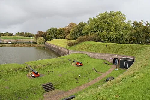 Dutch Fortress Museum Historic site, Gooise Meren0.4 km SW
-
Eikenberg Mountain, Gooise Meren4.1 km E
-
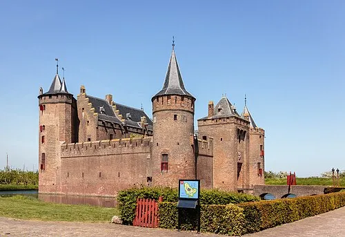 Muiderslot Historic site, Gooise Meren7.5 km NW
-
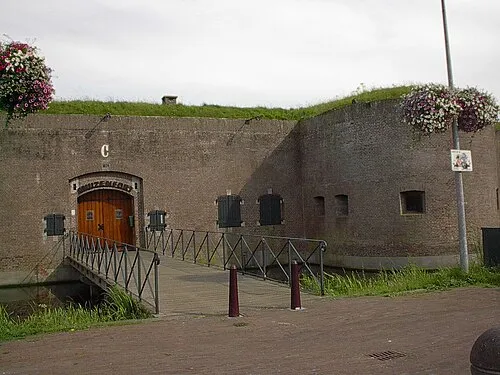 Mouse Fort Historic site, Gooise Meren7.2 km NW
-
Bait-ul-Afiyat Attraction, Gemeente Almere6 km N
-
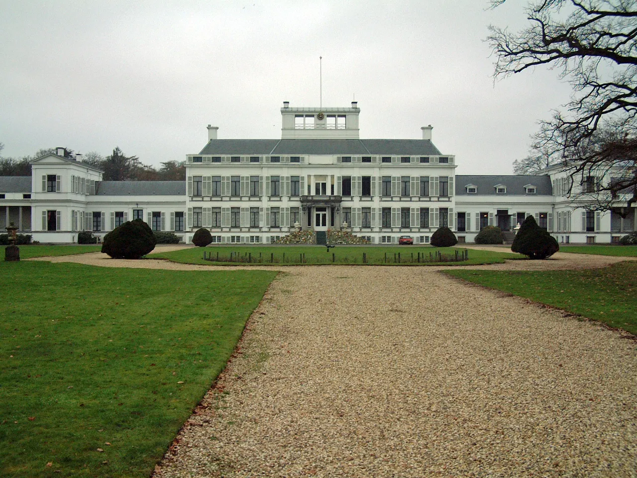 Soestdijk Palace Historic site, Baarn Municipality14 km SE
-
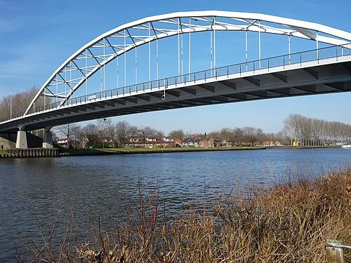 Weesperbrug Landmark, Gemeente De Ronde Venen9.7 km W
-
Hoorneboeg Mountain, Hilversum Municipality11 km S
Sources & licences
Data last updated: · 2 independent sources