Nieuwe Niedorp
Located in Hollands Kroon Municipality, North Holland Coordinates: 52°44′24″ N 4°53′55″ E

- Population
- 3,265
- 3.3K
- Elevation
- 2 m
- above sea level
- Local time
- UTC+01:00
- Europe/Amsterdam · UTC+01:00
- Airports
- AMS Amsterdam Airport Schiphol49 km
- RTM Rotterdam The Hague Airport93 km
About Nieuwe Niedorp
Nieuwe Niedorp is a village. Location: Hollands Kroon Municipality, North Holland. Population: 3,265. Elevation: 2 m.
Nieuwe Niedorp (West Frisian: Naaie Nierup) is a village in the Dutch province of North Holland. It is a part of the municipality of Hollands Kroon, and lies about 9 kilometres (5.6 mi) northeast of Heerhugowaard.
Source: Wikipedia · CC BY-SA 4.0
Photos of Nieuwe Niedorp
-

Gouwenaar · CC BY-SA 4.0 -

Wumvanbarse · CC BY-SA 4.0 -

RomkeHoekstra · CC0 -

Willem Adrianus Korpershoek · CC BY-SA 4.0 -

Marion Golsteijn · CC BY-SA 4.0


Population of Nieuwe Niedorp over time
| 1840 | 808 | |
|---|---|---|
| 1849 | 938 | |
| 1859 | 1,236 | |
| 1869 | 1,424 | |
| 1879 | 1,621 | |
| 1889 | 1,567 | |
| 1899 | 1,556 | |
| 1909 | 1,575 | |
| 1920 | 1,717 | |
| 1930 | 1,711 | |
| 1947 | 2,049 | |
| 1960 | 1,976 |
Censuses and official estimates; source: Wikidata.
Climate of Nieuwe Niedorp
Best months for sightseeingBest months for sightseeing: June–August.
This month · November
A cold month
Day 10° · Night 4° · Rain 96 mm
- Hottest month
- August (day 21°)
- Coldest month
- February (night 0°)
- Wettest month
- November (96 mm)
- Driest month
- April (42 mm)
Bars: average monthly low and high temperature. Below: precipitation. Monthly averages for 1970–2000 at about 18 km resolution, adjusted for elevation. Highlighted months are mild and relatively dry. Source: WorldClim 2.1 (CC BY 4.0).
Show values as a table
| Month | Jan | Feb | Mar | Apr | May | Jun | Jul | Aug | Sep | Oct | Nov | Dec |
|---|---|---|---|---|---|---|---|---|---|---|---|---|
| Average high (°C) | 5° | 5° | 8° | 11° | 16° | 18° | 20° | 21° | 18° | 14° | 10° | 7° |
| Average low (°C) | 1° | 0° | 2° | 4° | 8° | 11° | 13° | 13° | 11° | 8° | 4° | 2° |
| Precipitation (mm) | 66 | 45 | 59 | 42 | 49 | 60 | 65 | 64 | 91 | 95 | 96 | 81 |
How to get to Nieuwe Niedorp
The nearest airport is Amsterdam Airport Schiphol (AMS), 49 km to the south as the crow flies. The nearest large city is Zaanstad, 32 km to the south.
Airports
- Amsterdam Airport Schiphol (AMS) Amsterdam 49 kmsouth
- Rotterdam The Hague Airport (RTM) Rotterdam 93 kmsouth
- Groningen Airport Eelde (GRQ) Groningen 121 kmeast
Nearby large cities
- Zaanstad Population: 140.1K 32 kmsouth
- Amsterdam Population: 741.6K 41 kmsouth
- Haarlem Population: 162.5K 44 kmsouthwest
- Almere Stad Population: 176.4K 46 kmsoutheast
- Hoofddorp Population: 132.7K 51 kmsouth
Straight-line distances; road distances are longer. Airport data: OurAirports.
Day trips from Nieuwe Niedorp
Within 100 km: 115 historic and cultural sites, 62 natural sites, 18 lakes, rivers and coasts.
0–25 km17 places
- Strandslag Zandloper Beach 22 kmNW
- Strandslag Voordijk Beach 18 kmNW
- Strandslag Sint Maartenszee Beach 17 kmNW
- Strandslag Petten Beach 17 kmW
25–60 km72 places
- Texel Island 38 kmN
- Onrust Beach 30 kmN
- Strandslag Huisduinen Beach 26 kmNW
- Ockesnol Mountain 36 kmN
60–100 km106 places
- Putjensberg Mountain 84 kmSE
- Ameland Island 99 kmNE
- Habana Beach Beach 88 kmSW
- Beach Ameland Beach 98 kmNE
Straight-line distances.
Nearby attractions & nature
Everything nearby-
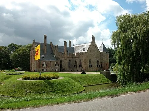 Kasteel Radboud Historic site, Medemblik Municipality15 km E
-
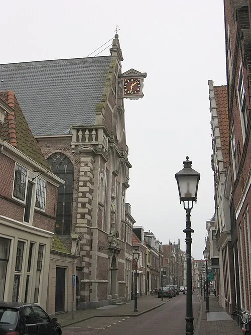 Oosterkerk Attraction, Hoorn Municipality16 km SE
-
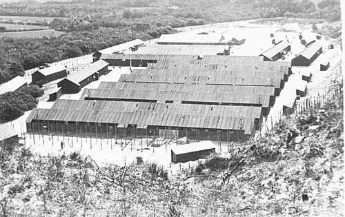 Police Custody Camp Schoorl Historic site, Bergen14 km W
-
 Westfries Museum Museum, Hoorn Municipality16 km SE
-
Baaknol Mountain, Bergen16 km W
-
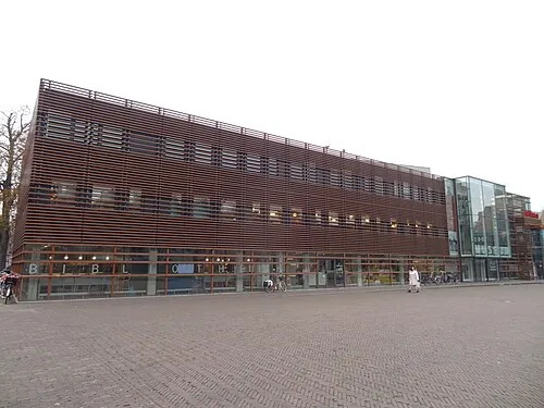 Stedelijk Museum Alkmaar Museum, Alkmaar Municipality16 km SW
Other cities and towns in Hollands Kroon Municipality
-
 Zijdewind Village, Hollands Kroon Municipality4 km W
-
Moerbeek Village, Hollands Kroon Municipality3.9 km NW
-
 Kolhorn Village, Hollands Kroon Municipality6.1 km N
-
Haringhuizen Village, Hollands Kroon Municipality6 km NW
-
Middenmeer Village, Hollands Kroon Municipality10 km NE
-
Barsingerhorn Village, Hollands Kroon Municipality5.5 km NW
Sources & licences
Data last updated: · 2 independent sources