- Population
- 7,410
- 7.4K
- Elevation
- -1 m
- above sea level
- Local time
- UTC+01:00
- Europe/Amsterdam · UTC+01:00
- Airports
- AMS Amsterdam Airport Schiphol58 km
- GRQ Groningen Airport Eelde100 km
About Andijk
Andijk is a town. Location: Medemblik Municipality, North Holland. Population: 7,410. Elevation: -1 m.
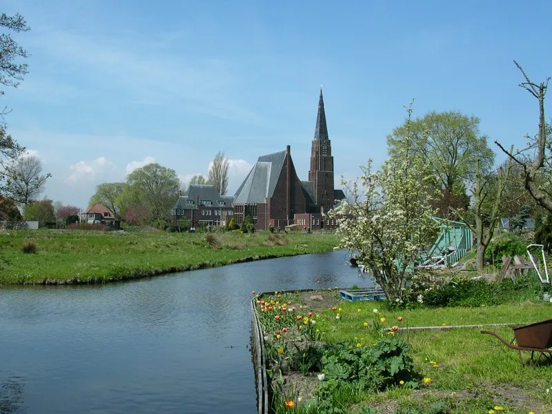
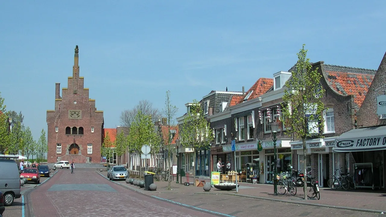
Andijk (Dutch: [ɑnˈdɛik] ; West Frisian: Andìk) is a former municipality and a village bordering Lake IJssel in the Netherlands, in the province of North Holland and the region of West-Frisia. Since 1 January 2011 Andijk has been part of Medemblik municipality. The name Andijk comes from the Dutch: aan de dijk, lit. 'at the dike'. In 1667 a small church was built. During the Napoleonic occupation, Andijk became an independent municipality on 1 January 1812 by imperial decree of 21 October 1811.
Source: Wikipedia · CC BY-SA 4.0
Photos of Andijk
-

Txllxt TxllxT · CC BY-SA 4.0 -

Txllxt TxllxT · CC BY-SA 4.0 -
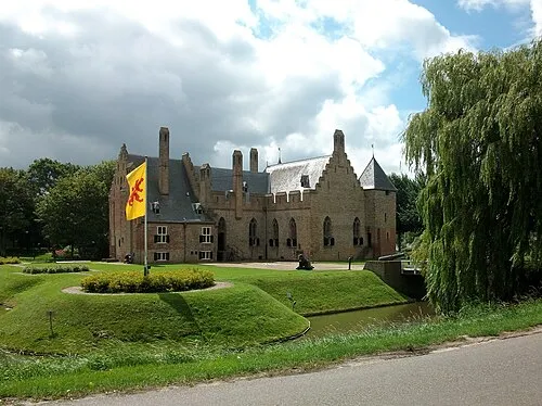
Kasteel Radboud Stefan Didam - Schmallenberg · CC BY-SA 3.0 -
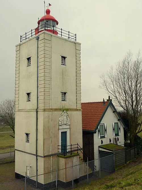
De Ven Gebruiker:Rudolphous · CC BY-SA 3.0


Travel notes for Andijk
From Wikivoyage
Andijk is securely hidden behind the broad back of the North Holland Peninsula. It is a typical West Frisian rural community, on the dike. Life here revolves around the water that the inhabitants have been passionately protecting against for centuries; at the same time they make clever use of it.
Source: Wikivoyage · CC BY-SA 4.0 · abridged
Climate of Andijk
Best months for sightseeingBest months for sightseeing: June–August.
This month · November
A cold month
Day 10° · Night 4° · Rain 87 mm
- Hottest month
- August (day 21°)
- Coldest month
- January (night 1°)
- Wettest month
- November (87 mm)
- Driest month
- April (43 mm)
Bars: average monthly low and high temperature. Below: precipitation. Monthly averages for 1970–2000 at about 18 km resolution, adjusted for elevation. Highlighted months are mild and relatively dry. Source: WorldClim 2.1 (CC BY 4.0).
Show values as a table
| Month | Jan | Feb | Mar | Apr | May | Jun | Jul | Aug | Sep | Oct | Nov | Dec |
|---|---|---|---|---|---|---|---|---|---|---|---|---|
| Average high (°C) | 5° | 6° | 8° | 11° | 16° | 18° | 21° | 21° | 18° | 14° | 10° | 7° |
| Average low (°C) | 1° | 1° | 2° | 4° | 8° | 11° | 13° | 13° | 11° | 8° | 4° | 2° |
| Precipitation (mm) | 66 | 48 | 62 | 43 | 51 | 63 | 66 | 64 | 82 | 86 | 87 | 77 |
How to get to Andijk
The nearest airport is Amsterdam Airport Schiphol (AMS), 58 km to the southwest as the crow flies. The nearest large city is Almere Stad, 42 km to the south.
Airports
- Amsterdam Airport Schiphol (AMS) Amsterdam 58 kmsouthwest
- Groningen Airport Eelde (GRQ) Groningen 100 kmnortheast
- Rotterdam The Hague Airport (RTM) Rotterdam 103 kmsouthwest
Nearby large cities
- Almere Stad Population: 176.4K 42 kmsouth
- Zaanstad Population: 140.1K 43 kmsouthwest
- Amsterdam Population: 741.6K 47 kmsouthwest
- Haarlem Population: 162.5K 57 kmsouthwest
- Hoofddorp Population: 132.7K 61 kmsouthwest
Straight-line distances; road distances are longer. Airport data: OurAirports.
Day trips from Andijk
Within 100 km: 111 historic and cultural sites, 86 natural sites, 19 lakes, rivers and coasts.
0–25 km4 places
- Oosterkerk Attraction 16 kmSW
- De Ven Landmark 4 kmE
- Kasteel Radboud Historic site 8 kmW
- Westfries Museum Museum 16 kmSW
25–60 km93 places
- Texel Island 46 kmNW
- Strandslag Zandloper Beach 38 kmNW
- Strandslag Voordijk Beach 37 kmW
- Strandslag Sint Maartenszee Beach 38 kmW
60–100 km119 places
- Putjensberg Mountain 65 kmSE
- Radewijkerbeek River 96 kmE
- Ameland Island 87 kmNE
- Het Rif Beach 100 kmNE
Straight-line distances.
Nearby attractions & nature
Everything nearby-
De Ven Landmark, Gemeente Enkhuizen4.1 km E
-
Kasteel Radboud Historic site, Medemblik Municipality7.9 km W
-
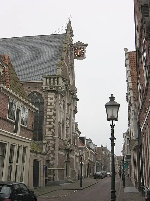 Oosterkerk Attraction, Hoorn Municipality16 km SW
-
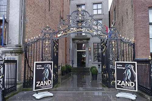 Westfries Museum Museum, Hoorn Municipality16 km SW
Other cities and towns in Medemblik Municipality
Sources & licences
Data last updated: · 2 independent sources