- Population
- 355
- 355
- Elevation
- -4 m
- above sea level
- Local time
- UTC+01:00
- Europe/Amsterdam · UTC+01:00
- Airports
- AMS Amsterdam Airport Schiphol12 km
- RTM Rotterdam The Hague Airport47 km
About Waver
Waver is a village. Location: Ouder-Amstel, North Holland. Population: 355. Elevation: -4 m.
Waver is a hamlet in the Dutch province of North Holland. It is a part of the municipality of Ouder-Amstel, and lies about 13 km south of Amsterdam. Waver is not a statistical entity, and is considered part of Ouderkerk aan de Amstel. Waver has place name signs and consists of about 40 houses.
Source: Wikipedia · CC BY-SA 4.0
Climate of Waver
Best months for sightseeingBest months for sightseeing: June–August.
This month · November
A cold month
Day 9° · Night 4° · Rain 89 mm
- Hottest month
- August (day 22°)
- Coldest month
- February (night 0°)
- Wettest month
- November (89 mm)
- Driest month
- April (46 mm)
Bars: average monthly low and high temperature. Below: precipitation. Monthly averages for 1970–2000 at about 18 km resolution, adjusted for elevation. Highlighted months are mild and relatively dry. Source: WorldClim 2.1 (CC BY 4.0).
Show values as a table
| Month | Jan | Feb | Mar | Apr | May | Jun | Jul | Aug | Sep | Oct | Nov | Dec |
|---|---|---|---|---|---|---|---|---|---|---|---|---|
| Average high (°C) | 5° | 6° | 9° | 12° | 17° | 19° | 21° | 22° | 18° | 14° | 9° | 7° |
| Average low (°C) | 1° | 0° | 2° | 4° | 8° | 10° | 12° | 12° | 10° | 7° | 4° | 2° |
| Precipitation (mm) | 69 | 51 | 65 | 46 | 54 | 71 | 71 | 62 | 82 | 85 | 89 | 81 |
How to get to Waver
The nearest airport is Amsterdam Airport Schiphol (AMS), 12 km to the northwest as the crow flies. The nearest large city is Amsterdam, 13 km to the north.
Airports
- Amsterdam Airport Schiphol (AMS) Amsterdam 12 kmnorthwest
- Rotterdam The Hague Airport (RTM) Rotterdam 47 kmsouthwest
- Eindhoven Airport (EIN) Eindhoven 95 kmsouth
Nearby large cities
- Amsterdam Population: 741.6K 13 kmnorth
- Hoofddorp Population: 132.7K 16 kmwest
- Zaanstad Population: 140.1K 23 kmnorth
- Utrecht Population: 376.4K 23 kmsoutheast
- Haarlem Population: 162.5K 23 kmnorthwest
Straight-line distances; road distances are longer. Airport data: OurAirports.
Nearby attractions & nature
Everything nearby-
Olympic Stadium Landmark, Gemeente Amsterdam11 km NW
-
 Van Gogh Museum Museum, Gemeente Amsterdam12 km N
-
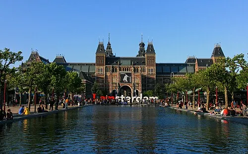 Rijksmuseum Amsterdam Museum, Gemeente Amsterdam12 km N
-
 Stedelijk Museum Amsterdam Museum, Gemeente Amsterdam12 km N
-
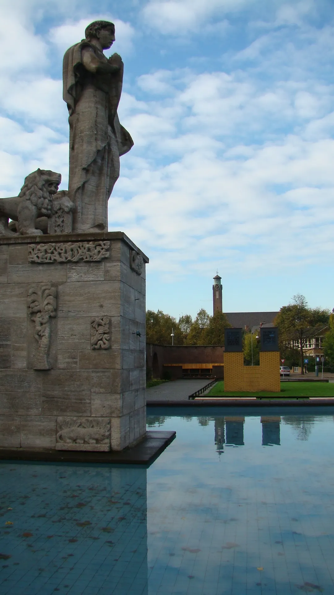 Monument Indië-Nederland Landmark, Gemeente Amsterdam11 km N
-
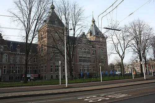 Tropenmuseum Museum, Gemeente Amsterdam12 km N
Sources & licences
Data last updated: · 2 independent sources