Tjallewal
Located in Schagen Municipality, North Holland Coordinates: 52°46′21″ N 4°47′20″ E
- Population
- 90
- 90
- Elevation
- 0 m
- above sea level
- Local time
- UTC+01:00
- Europe/Amsterdam · UTC+01:00
- Airports
- AMS Amsterdam Airport Schiphol52 km
- RTM Rotterdam The Hague Airport94 km
About Tjallewal
Tjallewal is a village. Location: Schagen Municipality, North Holland. Population: 90. Elevation: 0 m. The best months to visit are June–August. The nearest airport is Amsterdam Airport Schiphol (52 km). Nearby sights include Police Custody Camp Schoorl and Strandslag Voordijk.
Climate of Tjallewal
Best months for sightseeingBest months for sightseeing: June–August.
This month · November
A cold month
Day 10° · Night 4° · Rain 99 mm
- Hottest month
- August (day 21°)
- Coldest month
- February (night 1°)
- Wettest month
- November (99 mm)
- Driest month
- April (42 mm)
Bars: average monthly low and high temperature. Below: precipitation. Monthly averages for 1970–2000 at about 18 km resolution, adjusted for elevation. Highlighted months are mild and relatively dry. Source: WorldClim 2.1 (CC BY 4.0).
Show values as a table
| Month | Jan | Feb | Mar | Apr | May | Jun | Jul | Aug | Sep | Oct | Nov | Dec |
|---|---|---|---|---|---|---|---|---|---|---|---|---|
| Average high (°C) | 5° | 5° | 8° | 11° | 16° | 18° | 20° | 21° | 18° | 14° | 10° | 7° |
| Average low (°C) | 1° | 1° | 3° | 4° | 8° | 11° | 13° | 13° | 11° | 8° | 4° | 2° |
| Precipitation (mm) | 68 | 46 | 58 | 42 | 48 | 59 | 62 | 63 | 93 | 96 | 99 | 80 |
How to get to Tjallewal
The nearest airport is Amsterdam Airport Schiphol (AMS), 52 km to the south as the crow flies. The nearest large city is Zaanstad, 36 km to the south.
Airports
- Amsterdam Airport Schiphol (AMS) Amsterdam 52 kmsouth
- Rotterdam The Hague Airport (RTM) Rotterdam 94 kmsouth
- Groningen Airport Eelde (GRQ) Groningen 126 kmeast
Nearby large cities
- Zaanstad Population: 140.1K 36 kmsouth
- Haarlem Population: 162.5K 45 kmsouth
- Amsterdam Population: 741.6K 45 kmsouth
- Hoofddorp Population: 132.7K 53 kmsouth
- Almere Stad Population: 176.4K 53 kmsoutheast
Straight-line distances; road distances are longer. Airport data: OurAirports.
Day trips from Tjallewal
Within 100 km: 113 historic and cultural sites, 53 natural sites, 16 lakes, rivers and coasts.
0–25 km20 places
- Strandslag Zandloper Beach 15 kmN
- Strandslag Voordijk Beach 11 kmNW
- Strandslag Sint Maartenszee Beach 9 kmW
- Strandslag Petten Beach 9 kmW
25–60 km67 places
- Texel Island 35 kmN
- Ockesnol Mountain 31 kmN
- Eikenberg Mountain 59 kmSE
- De Kruisberg Mountain 29 kmS
60–100 km95 places
- Putjensberg Mountain 92 kmSE
- Habana Beach Beach 87 kmSW
- Eiland van Brienenoord Island 99 kmS
- Zwarte Berg Mountain 81 kmSE
Straight-line distances.
Nearby attractions & nature
Everything nearby-
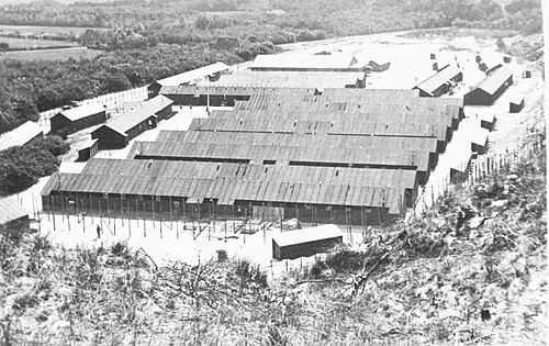 Police Custody Camp Schoorl Historic site, Bergen9.4 km SW
-
Strandslag Voordijk Beach, Schagen Municipality11 km NW
-
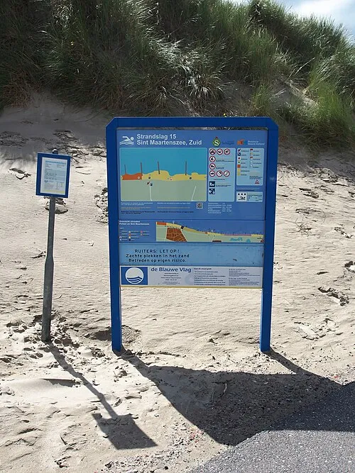 Strandslag Sint Maartenszee Beach, North Holland8.8 km W
-
Baaknol Mountain, Bergen11 km SW
-
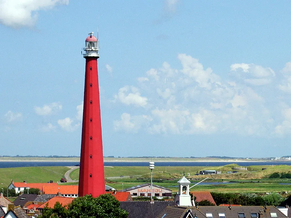 Lange Jaap Landmark, Den Helder Municipality21 km N
-
Strandslag Callantsoog Beach, North Holland9.8 km NW
Other cities and towns in Schagen Municipality
-
Tuitjenhorn Village, Schagen Municipality4.7 km SW
-
Sint Maartensbrug Village, Schagen Municipality4.2 km W
-
Sint Maartensvlotbrug Village, Schagen Municipality5.7 km W
-
 Kalverdijk Village, Schagen Municipality4.7 km S
-
 't Zand Village, Schagen Municipality7.5 km N
-
 Burgerbrug Village, Schagen Municipality6.4 km SW
Sources & licences
Data last updated: